Pocahontas in Randolph County, Arkansas — The American South (West South Central)
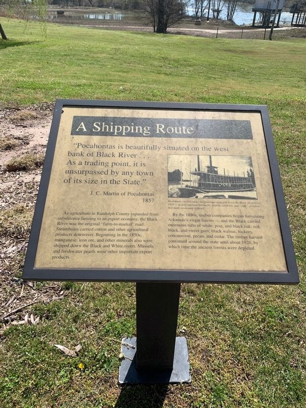
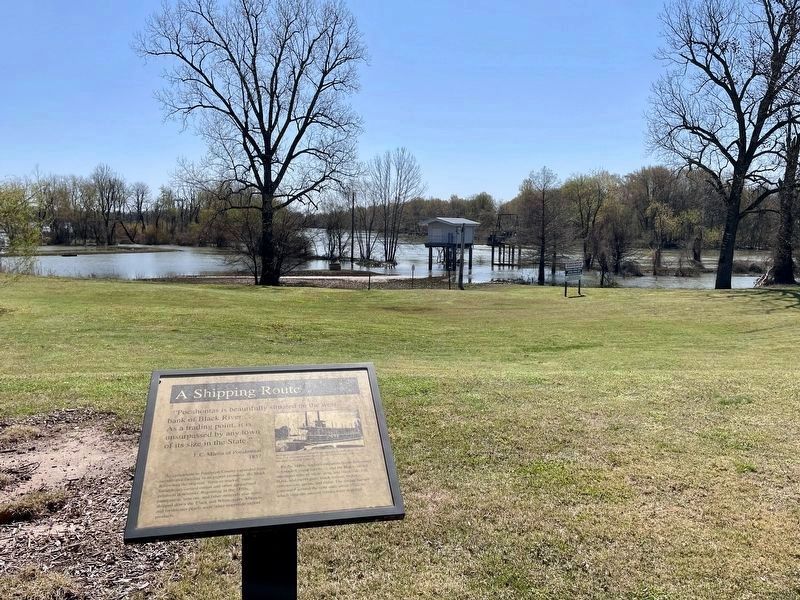
A Shipping Route
"Pocahontas is beautifully situated on the west bank of Black River… As a trading point, it is unsurpassed by any town of its size in the state."
J. C. Martin of Pocahontas
1857
As agriculture in Randolph County expanded from subsistence farming to an export economy, the Black River was original "farm-to-market" road. Steamboats carried cotton and other agricultural products downriver. Beginning in the 1850s. manganese, iron ore, and other minerals also were shipped down the Black and White rivers. Mussels and freshwater pearls were other important export products.
By the 1880s, timber companies began harvesting Arkansas's virgin forests - and the Black carried enormous rafts of white, post,and black walnut, hickory, cottonwood, pecan, and cedar. The Timber harvest continued around the state until about 1920, by which time the ancient forest were depleted
Topics. This historical marker is listed in these topic lists: Agriculture • Industry & Commerce • Natural Resources • Waterways & Vessels. A significant historical year for this entry is 1857.
Location. 36° 15.609′ N, 90° 58.146′ W. Marker is in Pocahontas, Arkansas, in Randolph County. Marker is at the intersection of South Bettis Street (U.S. 62/67) and Pope Street
Other nearby markers. At least 8 other markers are within walking distance of this marker. Settlement (a few steps from this marker); The Black River Today (a few steps from this marker); Native American Culture (a few steps from this marker); The River Basin (within shouting distance of this marker); The Black River (within shouting distance of this marker); Mr. Earney L. Dickson (within shouting distance of this marker); Randolph County during the War Between the States (about 300 feet away, measured in a direct line); Futrell Pharmacy (about 400 feet away). Touch for a list and map of all markers in Pocahontas.
Credits. This page was last revised on April 10, 2021. It was originally submitted on April 6, 2021, by Thomas Smith of Waterloo, Ill. This page has been viewed 126 times since then and 10 times this year. Photos: 1. submitted on April 6, 2021, by Thomas Smith of Waterloo, Ill. 2. submitted on April 8, 2021, by Mark Hilton of Montgomery, Alabama. • Devry Becker Jones was the editor who published this page.

