Near Williamsburg in James City County, Virginia — The American South (Mid-Atlantic)
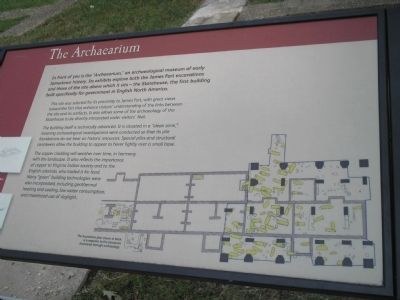
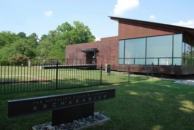
The Archaearium
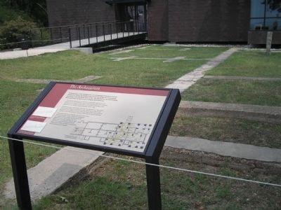
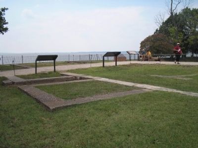
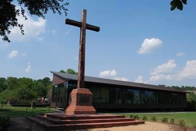
This site was selected for its proximity to James Fort, with great views toward the fort that enhance visitors’ understanding of the links between the site and its artifacts. It also allows some of the archaeology of the Statehouse to be directly interpreted under visitors’ feet.
The building itself is technically advanced. It is situated in a “clean zone,” meaning archaeological investigations were conducted so that its pile foundations do not bear on historic resources. Special piles and structural cantilevers allow the building to appear to hover lightly over a small base.
The copper cladding will weather over time, in harmony with the landscape. It also reflects the importance of copper to Virginia Indian society and to the English colonists, who traded it for food. Many “green” building technologies were also incorporated, including geothermal heating and cooling, low water consumption, and maximized use of daylight.
Erected by Colonial National Historic Park.
Topics. This historical marker is listed in these topic lists: Colonial Era • Notable Buildings.
Location. 37° 12.623′ N, 76° 46.835′ W. Marker is near Williamsburg, Virginia, in James City County. Marker can be reached from Colonial Parkway, on the right when traveling west. Marker is in the "Old Towne" section of the Historic Jamestown unit of Colonial National Historic Park. Touch for map. Marker is in this post office area: Williamsburg VA 23185, United States of America. Touch for directions.
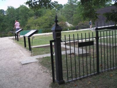
Other nearby markers. At least 8 other markers are within walking distance of this marker. These Foundations (here, next to this marker); The English Inns of Court (a few steps from this marker); Statehouse Foundations (a few steps from this marker); The Statehouse (a few steps from this marker); In Memory of Early Settlers (within shouting distance of this marker); Sealing of the Magna Carta (within shouting distance of this marker); The Site of the First Landing (within shouting distance of this marker); Robert Hunt (about 500 feet away, measured in a direct line). Touch for a list and map of all markers in Williamsburg.
More about this marker. The right of the marker contains an illustration of the foundations of the statehouse. It has a caption of “The foundation plan shown in black is a response to the structures discovered through archaeology.”
Also see . . .
1. Historic Jamestowne. Colonial National Historic Park from National Park Service website. (Submitted on March 15, 2009, by Bill Coughlin of Woodland Park, New Jersey.)
2. Historic Jamestowne. Historic Jamestowne is the site of the first permanent English settlement in America. The site is jointly administered by APVA Preservation Virginia and the National Park Service. (Submitted on March 15, 2009, by Bill Coughlin of Woodland Park, New Jersey.)
Credits. This page was last revised on June 16, 2016. It was originally submitted on March 15, 2009, by Bill Coughlin of Woodland Park, New Jersey. This page has been viewed 832 times since then and 11 times this year. Photos: 1, 2, 3, 4. submitted on March 15, 2009, by Bill Coughlin of Woodland Park, New Jersey. 5, 6. submitted on August 8, 2015, by Brandon Fletcher of Chattanooga, Tennessee.
