Devils Elbow in Pulaski County, Missouri — The American Midwest (Upper Plains)
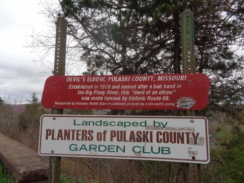
Devil's Elbow, Pulaski County, Missouri
Route 66 Roadside Attraction
Inscription.
Established in 1870 and named after a bad bend in the Big Piney River, this "devil of an elbow" was made famous by historic Route 66.
Erected by Hampton Hotels Save-a-Landmark Program.
Topics and series. This historical marker is listed in these topic lists: Bridges & Viaducts • Roads & Vehicles • Waterways & Vessels. In addition, it is included in the Route 66 Roadside Attractions, and the U.S. Route 66 series lists. A significant historical year for this entry is 1870.
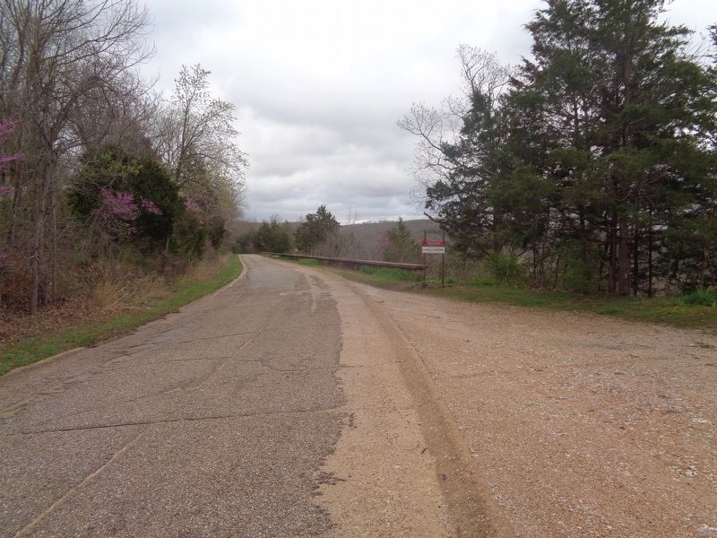
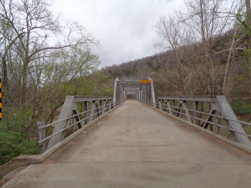
Location. 37° 50.67′ N, 92° 4.097′ W. Marker is in Devils Elbow, Missouri, in Pulaski County. Marker is on Teardrop Road east of Tealhouse Drive, on the right when traveling east. Marker is located off a roadside pullout, half a mile west of the Devils Elbow bridge. Touch for map. Marker is at or near this postal address: 21333 Teardrop Rd, Devils Elbow MO 65457, United States of America. Touch for directions.
Other nearby markers. At least 8 other markers are within 8 miles of this marker, measured as the crow flies. Welcome to St. Roberts (approx. 4.4 miles away); "Grow With Us" (approx. 4.6 miles away); Veterans Memorial (approx. 5 miles away); Pulaski County Freedom Rock Veterans Memorial (approx. 5 miles away); The Trailblazers (approx. 7 miles away); 75th Infantry Division (approx. 7 miles away); Talbot House (approx. 7.3 miles away); Old Stage Coach Stop (approx. 7.3 miles away).
Credits. This page was last revised on April 11, 2021. It was originally submitted on April 10, 2021, by Jason Voigt of Glen Carbon, Illinois. This page has been viewed 294 times since then and 31 times this year. Photos: 1, 2, 3. submitted on April 10, 2021, by Jason Voigt of Glen Carbon, Illinois.


