Barboursville in Orange County, Virginia — The American South (Mid-Atlantic)
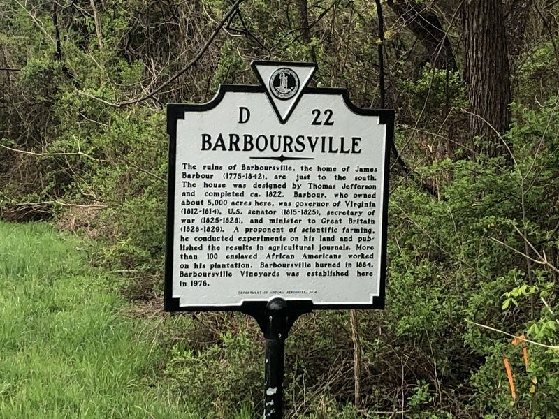
Barboursville
Erected 2016 by Department of Historic Resources. (Marker Number D-22.)
Topics and series. This historical marker is listed in these topic lists: Agriculture • Government & Politics • Science & Medicine • Settlements & Settlers. In addition, it is included in the Virginia Department of Historic Resources (DHR) series list. A significant historical year for this entry is 1822.
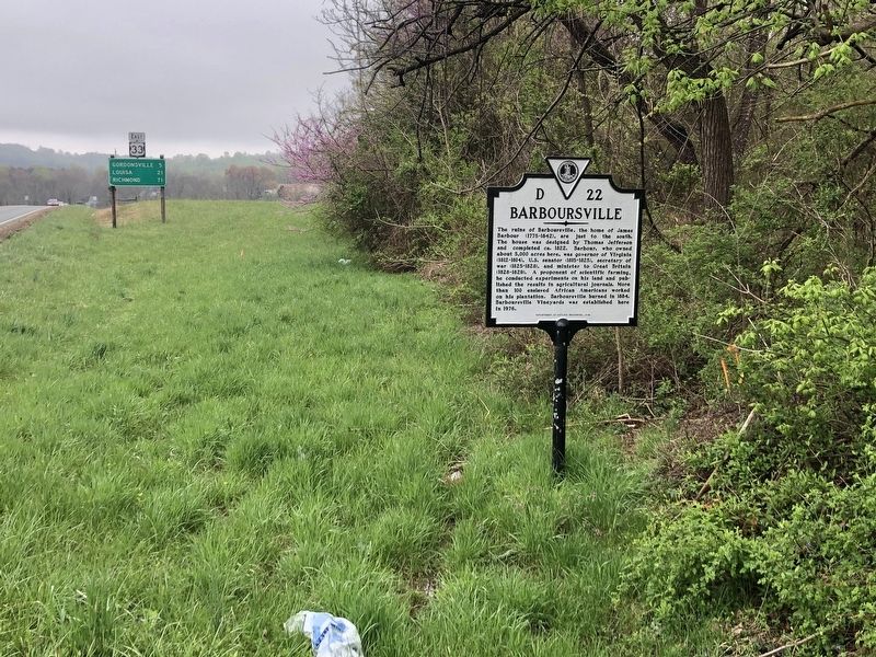
Location. 38° 10.238′ N, 78° 16.695′ W. Marker is in Barboursville, Virginia, in Orange County. Marker is at the intersection of Spotswood Trail (U.S. 33) and Old Barboursville Road (Virginia Route 738), on the right when traveling south on Spotswood Trail. Touch for map. Marker is at or near this postal address: 5545 Spotswood Trail, Barboursville VA 22923, United States of America. Touch for directions.
Other nearby markers. At least 8 other markers are within 5 miles of this marker, measured as the crow flies. Governor James Barbour (approx. 0.2 miles away); Barboursville Ruins (approx. 0.6 miles away); Montebello (approx. 2 miles away); Madison-Barbour Rural Historic District (approx. 3.6 miles away); General Thomas Sumter (approx. 4˝ miles away); The Maplewood Memorial Association (approx. 4.6 miles away); Orange County / Greene County (approx. 4.6 miles away); Orange County / Louisa County (approx. 4.8 miles away). Touch for a list and map of all markers in Barboursville.
Related marker. Click here for another marker that is related to this marker. This marker has replaced with the linked marker.
Credits. This page was last revised on April 11, 2021. It was originally submitted on April 11, 2021, by Devry Becker Jones of Washington, District of Columbia. This page has been viewed 245 times since then and 27 times this year. Photos: 1, 2. submitted on April 11, 2021, by Devry Becker Jones of Washington, District of Columbia.

