Orange in Orange County, Virginia — The American South (Mid-Atlantic)
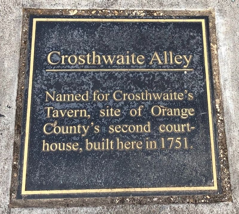
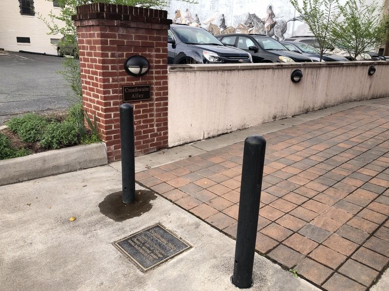
Crosthwaite Alley
Topics. This historical marker is listed in these topic lists: Colonial Era • Government & Politics • Roads & Vehicles. A significant historical year for this entry is 1751.
Location. 38° 14.684′ N, 78° 6.642′ W. Marker is in Orange, Virginia, in Orange County. Marker is at the intersection of Chapman Street and South Madison Road (U.S. 15), on the right when traveling north on Chapman Street. Touch for map. Marker is at or near this postal address: 115 Chapman St, Orange VA 22960, United States of America. Touch for directions.
Other nearby markers. At least 8 other markers are within walking distance of this marker. Confederate Dead (within shouting distance of this marker); Honoring the People of Orange County (within shouting distance of this marker); Historic Downtown Orange (within shouting distance of this marker); The Orange Railroad Depot (within shouting distance of this marker); Welcome to… The Town of Orange (within shouting distance of this marker); General Zachary Taylor (within shouting distance of this marker); Montpelier and Madison's Tomb (within shouting distance of this marker); Town of Orange (about 300 feet away, measured in a direct line). Touch for a list and map of all markers in Orange.
Credits. This page was last revised on April 11, 2021. It was originally submitted on April 11, 2021, by Devry Becker Jones of Washington, District of Columbia. This page has been viewed 155 times since then and 22 times this year. Photos: 1, 2. submitted on April 11, 2021, by Devry Becker Jones of Washington, District of Columbia.

