
Near Rapidan in Culpeper County, Virginia — The American South (Mid-Atlantic)
Locust Grove
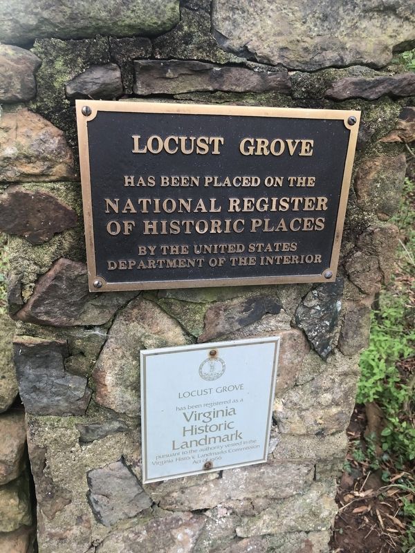
has been placed on the
National Register
of Historic Places
by the United States
Department of the Interior
Locust Grove
has been registered as a
Virginia
Historic
Landmark
pursuant to the authority vested in the
Virginia Historic Landmarks Commission
Acts of 1966
Topics. This historical marker is listed in these topic lists: Agriculture • Architecture • Colonial Era • Settlements & Settlers. A significant historical year for this entry is 1730.
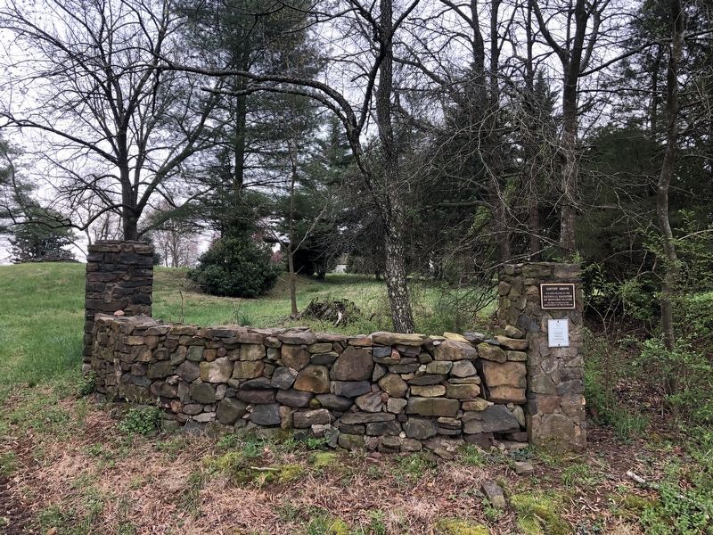
Location. 38° 19.073′ N, 78° 2.702′ W. Marker is near Rapidan, Virginia, in Culpeper County. It is at the intersection of Willis Ford Road (Virginia Route 736) and Locust Grove Lane, on the right when traveling east on Willis Ford Road. Touch for map. Marker is at or near this postal address: 11107 Willis Ford Rd, Rapidan VA 22733, United States of America. Touch for directions.

Regionally, this marker is in the Washington Metropolitan Area and in Northern Virginia. It is also in the American South, specifically in the Upper South, and in the Mid-Atlantic. Globally, it is in North America, the Western Hemisphere, the Western
this page online
Other nearby markers. At least 8 other markers are within 5 miles of this marker, measured as the crow flies: Historical Rapidan Virginia (approx. 1.2 miles away); Pete Hill (approx. 1.6 miles away); Peyton's Ford Road / Woodberry Perimeter Trail (approx. 3.7 miles away); Bloomsbury (approx. 4.3 miles away); Mitchells Presbyterian Church (approx. 4.4 miles away); Madison County / Culpeper County (approx. 4.4 miles away); Jackson’s Crossing (approx. 4½ miles away); Elder John Leland (approx. 4.6 miles away). Touch for a list and map of all markers in Rapidan.
Also see . . . Locust Grove (Rapidan, Virginia). Wikipedia article about the property (Submitted on April 11, 2021, by Devry Becker Jones of Washington, District of Columbia.)
Credits. This page was last revised on April 11, 2021. It was originally submitted on April 11, 2021, by Devry Becker Jones of Washington, District of Columbia. This page has been viewed 627 times since then and 61 times this year. Photos: 1, 2. submitted on April 11, 2021, by Devry Becker Jones of Washington, District of Columbia.
