Riverton in Cherokee County, Kansas — The American Midwest (Upper Plains)
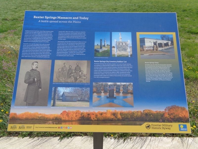
Baxter Springs Massacre and Today
A battle spread across the Plains
Quantrill's men saw the wagon train, with its armed escort, and quickly realized they had stumbled into General Blunt's caravan. Quantrill concealed his men except for a group dressed in Union uniforms. As the spies approached General Blunt, Union scouts identified them, but it was too late. Blunt's men tried to defend themselves, but with little time to react, the caravan was quickly overrun. Many of those who attempted to flee were ridden down and shot, spreading the battle over several miles. When the battle, or what was viewed by the Union as a massacre, was finished, Quantrill's men celebrated, believing to have killed General Blunt. After scavenging the wagons and destroying what was left, Quantrill's band continued south, deciding not to attack Fort Blair again.
Miraculously, General Blunt and about 15 others survived to reach the fort. The next day the search patrol found bodies strewn over a wide distance. The few wounded survivors were taken to the fort hospital. Overall, more than 80 bodies were buried in a common grave north of the fort. Among the dead was well-known writer and artist James O'Neill, a correspondent for "Frank Leslie's Illustrated Newspaper," and the only correspondent believed to be killed in the Civil War. O'Neill was buried in a separate grave with a marker.
Baxter Springs City Cemetery Soldiers' Lot
The Baxter Springs City Cemetery Soldiers' Lot, west of Baxter Springs, was deeded as a National Plot in 1869 from land in the center of the city's cemetery. Distinct from a national cemetery, only those killed in the local Civil War battle could be buried in the lot. Following its creation, the soldiers who died during the Battle and Massacre of Baxter Springs were reinterred there. A memorial was added in 1886, including the names of 163 Union soldiers. The memorial consists of a 20-foot tall granite monument with a statue of a soldier on top and four 24-pound cannons from 1853 arranged around it.
Baxter Springs Today
Fort Blair was one of the few Kansas forts attacked by the Confederates during the Civil War. However, the usefulness of the fort ended during the war and it was decommissioned. Following the war, the town of Baxter Springs emerged near where Fort Blair
had stood. Today, the Baxter Springs Heritage Center & Museum shares this story, along with stories from the various stages of the region's history, from the Osage tribe through the lead and zinc mining era. A replica of the fort and the Baxter Springs City Cemetery Soldiers' Lot also serve as reminders of the Battle and Massacre of Baxter Springs.
Erected 2018 by Frontier Military Historic Byway and Kansas Byways.
Topics. This historical marker is listed in these topic lists: Cemeteries & Burial Sites • Forts and Castles • Native Americans • War, US Civil. A significant historical year for this entry is 1863.
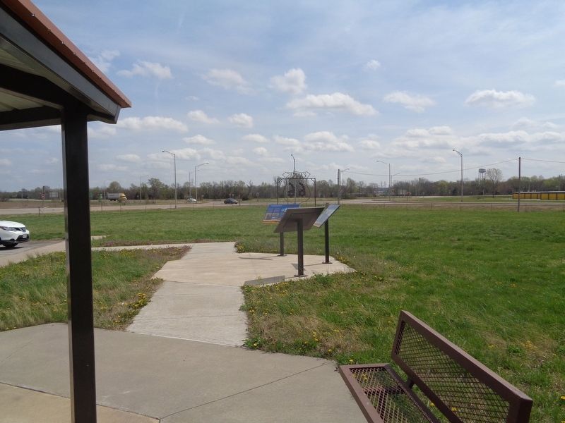
Location. 37° 4.538′ N, 94° 43.053′ W. Marker is in Riverton, Kansas, in Cherokee County. Marker is on U.S. 400 near State Highway 66, on the right when traveling south. Marker kiosk is about 300 feet west of the roundabout. Touch for map. Marker is at or near this postal address: 6494 US Rte 66, Riverton KS 66770, United States of America. Touch for directions.
Other nearby markers. At least 8 other markers are within walking distance of this marker. Fort Blair (here, next to this marker); Where Two Roads Converge (here, next to this marker); Land's Legacy (a few steps from this marker); Bridging the American Divide (a few steps from this marker); Boom Towns (a few steps from this marker); Cosmopolitan Corner (a few steps from this marker); Crossroads of Kansas (a few steps from this marker); Baxter Springs Massacre (approx. 0.8 miles away). Touch for a list and map of all markers in Riverton.
Credits. This page was last revised on September 2, 2021. It was originally submitted on April 11, 2021, by Jason Voigt of Glen Carbon, Illinois. This page has been viewed 373 times since then and 56 times this year. Photos: 1, 2. submitted on April 11, 2021, by Jason Voigt of Glen Carbon, Illinois.

