Nacogdoches in Nacogdoches County, Texas — The American South (West South Central)
Governor Martin de Alarcon in East Texas
Photographed by Brian Anderson, April 10, 2021
1. Governor Martin de Alarcon in East Texas Marker
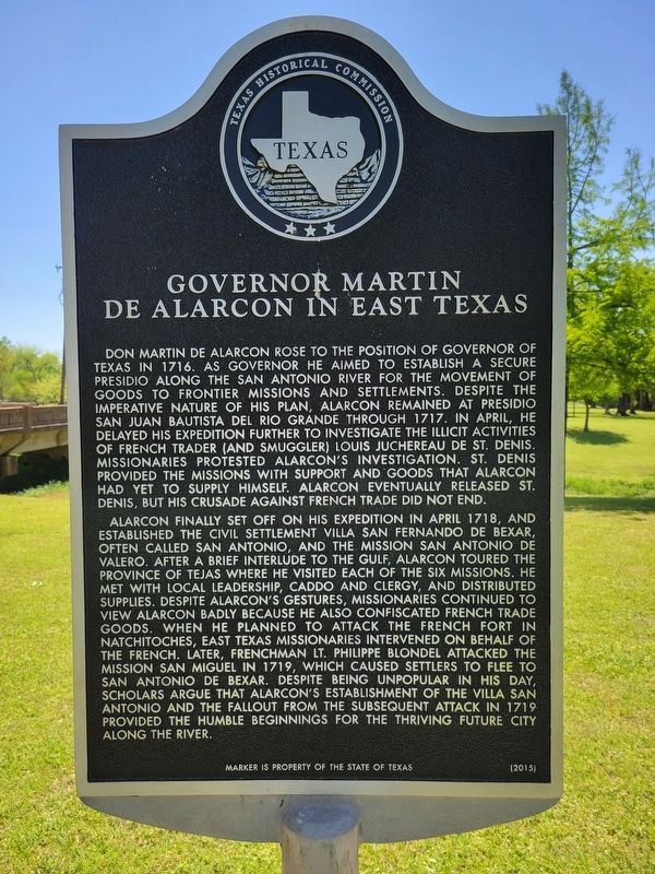
Alarcon finally set off on his expedition in April 1718, and established the civil settlement villa San Fernando de Bexar, often called San Antonio, and the mission San Antonio de Valero. After a brief interlude to the gulf, Alarcon toured the province of Tejas where he visited each of the six missions. He met with local leadership, Caddo and clergy, and distributed supplies. Despite Alarcon's gestures, missionaries continued
this page online
Erected 2015 by Texas Historical Commission. (Marker Number 18267.)
Topics. This historical marker is listed in these topic lists: Colonial Era • Hispanic Americans. A significant historical month for this entry is April 1718.
Location. 31° 36.104′ N, 94° 39.382′ W. Marker is in Nacogdoches, Texas, in Nacogdoches County. It is on South Pecan Street 0.1 miles south of East Pilar Street, on the right when traveling south. Touch for map. Marker is in this post office area: Nacogdoches TX 75965, United States of America. Touch for directions.

Regionally, this marker is in the American South,
Photographed by Brian Anderson, April 10, 2021
2. Governor Martin de Alarcon in East Texas Marker
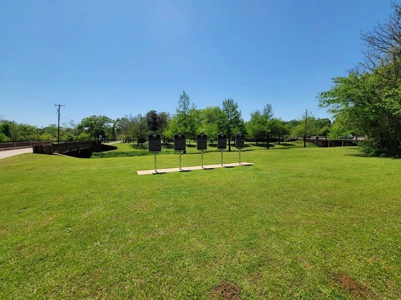
Marker is the second from the left of the five markers visible in this photo.
Other nearby markers. At least 8 other markers are within walking distance of this marker: Captain Domingo Ramon (here, next to this marker); Governor Marquis de San Miguel de Aguayo (here, next to this marker); Angelina (here, next to this marker); Franciscan Friars in East Texas (here, next to this marker); Chas. Hoya Land Office (about 400 feet away, measured in a direct line); Site of First Home in Texas Owned by General Sam Houston (about 400 feet away); Gladys Hampton Building (about 400 feet away); Sam Houston's First Home in Texas (about 400 feet away). Touch for a list and map of all markers in Nacogdoches.
Also see . . . Alarcón, Martín de (unknown–unknown) - The Handbook of Texas Online. Texas State Historical Association (TSHA) (Submitted on April 12, 2021, by Brian Anderson of New Albany, Ohio.)
Credits. This page was last revised on June 15, 2021. It was originally submitted on April 12, 2021, by Brian Anderson of New Albany, Ohio. This page has been viewed 798 times since then and 53 times this year. Photos: 1, 2. submitted on April 12, 2021, by Brian Anderson of New Albany, Ohio.
