Monroe in Monroe County, Michigan — The American Midwest (Great Lakes)
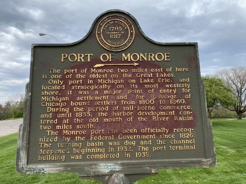
Port of Monroe
Only port in Michigan on Lake Erie, and located strategically on its most westerly shore, it was a major point of entry for Michigan settlement and for passage of Chicago bound settlers from 1800 to 1860.
During the period of sail-borne commerce, and until 1835, the harbor development centered at the old mouth of the River Raisin two miles south.
The Monroe port has been officially recognized by the Federal Government since 1826. The turning basin was dug and the channel deepened beginning in 1932. The port terminal building was completed in 1939.
Erected by Monroe County Historical Society.
Topics. This historical marker is listed in these topic lists: Settlements & Settlers • Waterways & Vessels. A significant historical year for this entry is 1800.
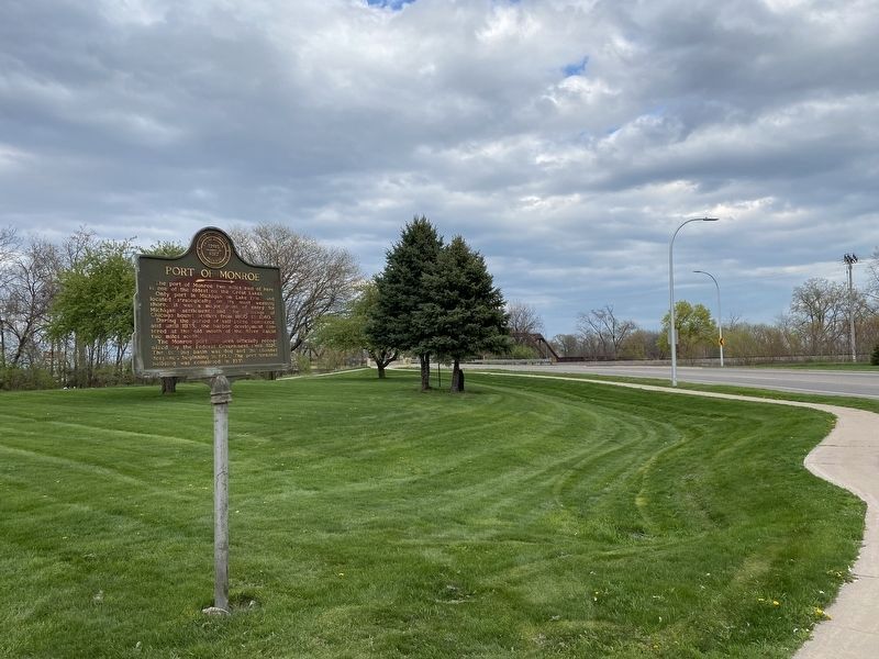
Location. 41° 54.729′ N, 83° 22.971′ W. Marker is in Monroe, Michigan, in Monroe County. Marker is on Winchester Street north of North Dixie Highway, on the right when traveling north. Located across the street from the Monroe Community Credit Union. Touch for map. Marker is at or near this postal address: 14 Winchester St, Monroe MI 48161, United States of America. Touch for directions.
Other nearby markers. At least 8 other markers are within walking distance of this marker. Private Claim 214 of G. Godfroy & J.B. Beaugrand (approx. 0.2 miles away); Site of Battles of Jan. 18 - 22 (approx. 0.2 miles away); Private Claim 236 Lot of Hubert Lacroix (approx. 0.2 miles away); Private Claim 236, Lot of George McDougal (approx. 0.2 miles away); River Raisin Legacy Project (approx. 0.2 miles away); First District Court (approx. 0.2 miles away); Private Claim 236 Lot of Jean (John) Baptiste Jerome (approx. ¼ mile away); a different marker also named River Raisin Legacy Project (approx. ¼ mile away). Touch for a list and map of all markers in Monroe.
Credits. This page was last revised on April 16, 2021. It was originally submitted on April 15, 2021, by J.T. Lambrou of New Boston, Michigan. This page has been viewed 153 times since then and 9 times this year. Photos: 1, 2. submitted on April 15, 2021, by J.T. Lambrou of New Boston, Michigan. • Mark Hilton was the editor who published this page.

