Near Richmond in Henrico County, Virginia — The American South (Mid-Atlantic)
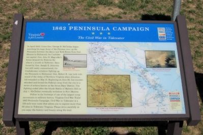
1862 Peninsula Campaign
The Civil War in Tidewater
In April 1862, Union Gen. George B. McClellan began marching his huge Army of the Potomac west up the Peninsula between the James and York Rivers from Fort Monroe to Richmond, the Confederate capital. Gen. John B. Magruder’s forces delayed the Federals for almost a month at Yorktown. Reinforced by Gen. Joseph E. Johnston but still vastly outnumbered, the Confederates withdrew fighting up the Peninsula to Richmond. Gen. Robert E. Lee took command of the Army of Northern Virginia when Johnston fell wounded on May 31. Beginning on June 26, Lee counter-attacked and forced the Federals away from the city in a series of actions known as the Seven Days’ Battles. The fighting ended after the bloody Battle of Malvern Hill on July 1. McClellan eventually withdrew to Fort Monroe.
Follow in the footsteps of one of the largest troop movements in military history. Virginia Civil War Trails’ 1862 Peninsula Campaign: Civil War in Tidewater is a 125-mile tour route that allows you to explore more than 60 sites in Tidewater Virginia. Please drive carefully as you enjoy the history and beauty along the trail.
Erected 2011 by Virginia Civil War Trails.
Topics and series. This historical marker is listed in this topic list: War, US Civil. In addition, it is included in the Virginia Civil War Trails series list. A significant historical month for this entry is April 1862.
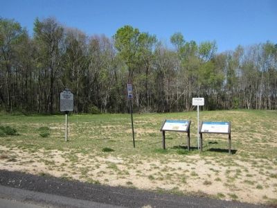
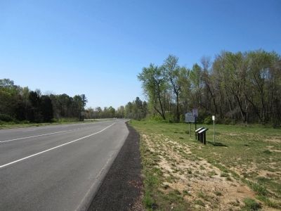
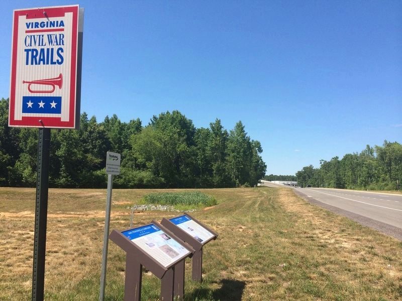
Location. 37° 29.37′ N, 77° 20.552′ W. Marker is near Richmond, Virginia, in Henrico County. Marker is on Richmond Airport Connector Road south of Seven Hills Boulevard, on the right when traveling south. Touch for map. Marker is at or near this postal address: 2901 7 Hills Blvd, Henrico VA 23231, United States of America. Touch for directions.
Other nearby markers. At least 8 other markers are within 2 miles of this marker, measured as the crow flies. Lee vs. Grant (a few steps from this marker); Defenses of Richmond (a few steps from this marker); Fort Lee (approx. 0.6 miles away); Richmond Defences (approx. 0.9 miles away); a different marker also named Richmond Defences (approx. 1.2 miles away); Second Battle of Fair Oaks (approx. 1.2 miles away); Battle of Darbytown Road (approx. 1.2 miles away); Darbytown Road / Pioneer Baptist Church (approx. 1.3 miles away). Touch for a list and map of all markers in Richmond.
Credits. This page was last revised on January 13, 2022. It was originally submitted on April 9, 2012, by Bernard Fisher of Richmond, Virginia. This page has been viewed 826 times since then and 16 times this year. Last updated on April 18, 2021, by Bradley Owen of Morgantown, West Virginia. Photos: 1, 2, 3. submitted on April 9, 2012, by Bernard Fisher of Richmond, Virginia. 4. submitted on January 12, 2022, by Adam Margolis of Mission Viejo, California.


