Trucks
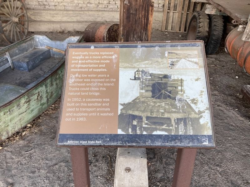
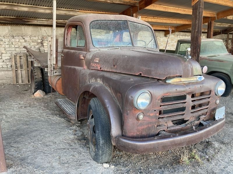
Eventually trucks replaced wagons as a more efficient and cost-effective mode of transportation and movement of supplies.
During low water years a sandbar was exposed on the Southeast end of the Island. Trucks could cross this natural land bridge.
In 1952, a causeway was
built on this sandbar and
used to transport animals
and supplies until it washed
out in 1983.
Erected by Utah State Parks.
Topics. This historical marker is listed in these topic lists: Agriculture • Roads & Vehicles. A significant historical year for this entry is 1952.
Location. 40° 55.602′ N, 112° 10.042′ W. Marker is near Syracuse, Utah, in Davis County. Marker can be reached from Antelope Island State Park. The marker is located at the Fielding Garr Ranch Historic Site, Antelope Island State Park. Touch for map. Marker is in this post office area: Syracuse UT 84075, United States of America. Touch for directions.
Other nearby markers. At least 8 other markers are within walking distance of this marker. Transportation (a few steps from this marker); The Fielding Garr Ranch (a few steps from this marker); Tractors (within shouting distance of this marker); Rippers (within shouting distance of this marker); Combines (within shouting distance of this marker); Bailers
Credits. This page was last revised on April 27, 2021. It was originally submitted on April 20, 2021, by Connor Olson of Kewaskum, Wisconsin. This page has been viewed 92 times since then and 10 times this year. Photos: 1, 2. submitted on April 20, 2021, by Connor Olson of Kewaskum, Wisconsin. • J. Makali Bruton was the editor who published this page.

