Near Ennice in Alleghany County, North Carolina — The American South (South Atlantic)
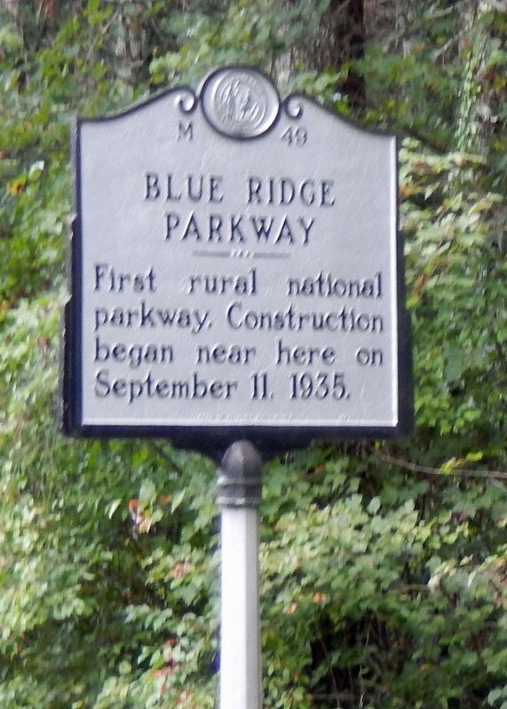
Blue Ridge Parkway
Photographed by Cosmos Mariner, September 14, 2016
1. Blue Ridge Parkway Marker
Erected 1987 by North Carolina Office of Archives and History. (Marker Number M-49.)
Topics and series. This historical marker is listed in these topic lists: Charity & Public Work • Parks & Recreational Areas • Roads & Vehicles. In addition, it is included in the Blue Ridge Parkway, and the North Carolina Division of Archives and History series lists. A significant historical date for this entry is September 11, 1935.
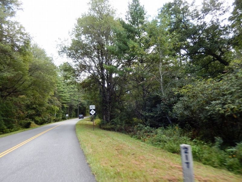
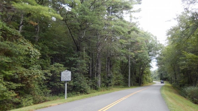
Location. 36° 33.599′ N, 80° 54.66′ W. Marker is near Ennice, North Carolina, in Alleghany County. It is on Blue Ridge Parkway (at milepost 217), 0.3 miles north of North Carolina Route 18, on the right when traveling north. Marker is about 300 yards south of the Virginia/North Carolina state line. Touch for map. Marker is in this post office area: Ennice NC 28623, United States of America. Touch for directions.

Regionally, this marker is in andspecifically he Mountains in the High Country. It is also in the American South, specifically in the Upper South, in Appalachia, and specifically in Southern Appalachia. Globally,
this page online
Other nearby markers. At least 8 other markers are within 7 miles of this marker, measured as the crow flies: Grayson County Virginia / North Carolina (approx. 0.7 miles away in Virginia); Fox Hunters Paradise (approx. 1.3 miles away); Old Saddle Mountain Baptist Church Veterans Memorial (approx. 3.9 miles away); Jesse Franklin (approx. 4½ miles away); Fries (approx. 6.2 miles away in Virginia); Riverhill Baptist Church (approx. 6½ miles away in Virginia); Galax (approx. 6.8 miles away in Virginia); Veterans Memorial (approx. 6.9 miles away in Virginia).
Also see . . .
1. The Blue Ridge Parkway. Contracts were awarded in August, 1935 and, on September 11, work began on a section extending southward from the North Carolina-Virginia line. Workers were secured from the unemployment rolls of Alleghany County
Photographed by Cosmos Mariner, September 14, 2016
2. Blue Ridge Parkway Marker
2. Blue Ridge Parkway History. Actual construction of the Parkway didn’t begin until late in 1935, although the plan had been in the works for the two years prior. At that time, President Franklin D. Roosevelt had visited Virginia’s first Civilian Conservation Corps camp while they were working on the Skyline Drive through Shenandoah National Park. Liking what he saw, he soon approved the concept of constructing a scenic motor way linking the two new parks, Shenandoah and the Great Smoky Mountains National Park. (Submitted on April 23, 2021, by Cosmos Mariner of Cape Canaveral, Florida.)
Photographed by Cosmos Mariner, September 14, 2016
3. Blue Ridge Parkway Marker
Credits. This page was last revised on April 23, 2021. It was originally submitted on April 21, 2021, by Cosmos Mariner of Cape Canaveral, Florida. This page has been viewed 496 times since then and 27 times this year. Photos: 1, 2, 3. submitted on April 23, 2021, by Cosmos Mariner of Cape Canaveral, Florida.
