Locust Grove in Orange County, Virginia — The American South (Mid-Atlantic)
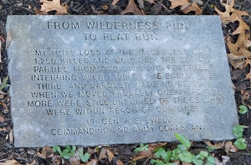
From Wilderness Run To Flat Run
Lt. Gen. R.S. Ewell
Commanding 2nd Army Corps, ANV
Topics. This historical marker is listed in these topic lists: Cemeteries & Burial Sites • War, US Civil.
Location. 38° 19.537′ N, 77° 45.95′ W. Marker is in Locust Grove, Virginia, in Orange County. Marker can be reached from Church Lane east of Lakeview Parkway when traveling east. Located at the far rear corner of the parking lot for Lake of the Woods Church. Touch for map. Marker is at or near this postal address: 1 Church Lane, Locust Grove VA 22508, United States of America. Touch for directions.
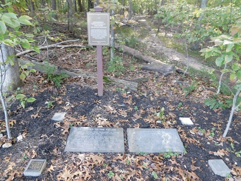
Other nearby markers. At least 8 other markers are within walking distance of this marker. Dedicated To The Fallen (here, next to this marker); Wilderness Battlefield Memorial (a few steps from this marker); John Gordon Proposes a Flank Attack (about 500 feet away, measured in a direct line); Gordon's Flank Attack (about 600 feet away); Fighting on the Evening of May 5, 1864 (about 700 feet away); Gordon's Attack Falters (approx. 0.2 miles away); Morning of May 6 (approx. ¼ mile away); The Federals Fall Back (approx. 0.4 miles away). Touch for a list and map of all markers in Locust Grove.
More about this marker. The National Park Service’s Wilderness Battlefield can be accessed from the trailhead here, connecting to the Gordon’s Flank Attack Trail.
Credits. This page was last revised on April 24, 2021. It was originally submitted on April 23, 2021, by Bradley Owen of Morgantown, West Virginia. This page has been viewed 123 times since then and 9 times this year. Photos: 1, 2. submitted on April 23, 2021, by Bradley Owen of Morgantown, West Virginia. • Bernard Fisher was the editor who published this page.

