Central Park West Historic District in Manhattan in New York County, New York — The American Northeast (Mid-Atlantic)
Summit Rock
Seneca Village Landscape
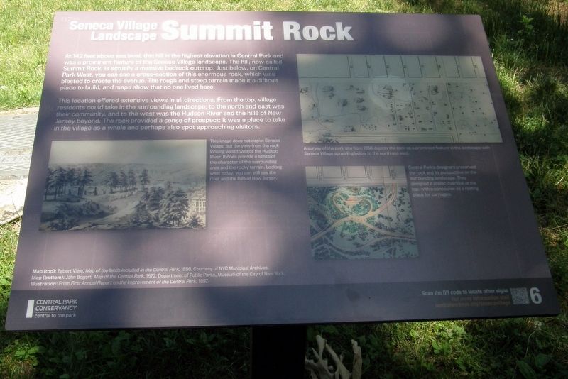
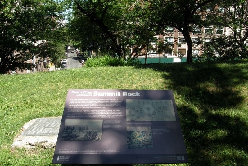
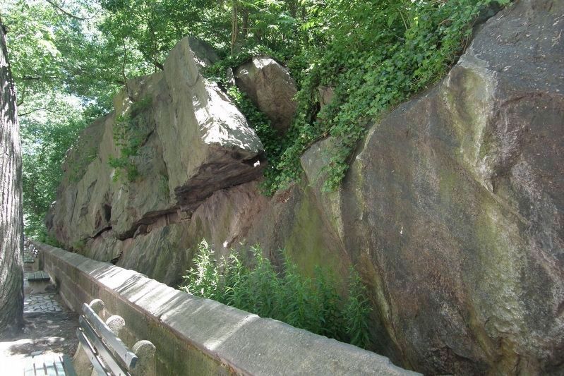
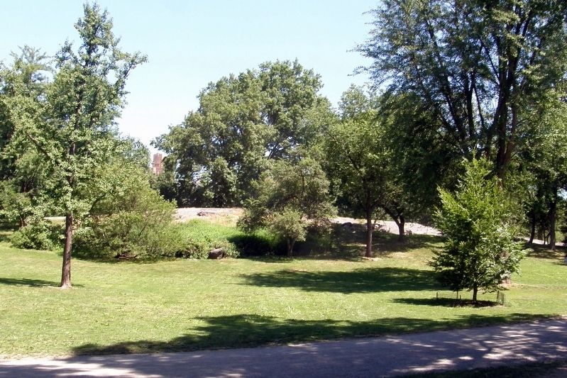
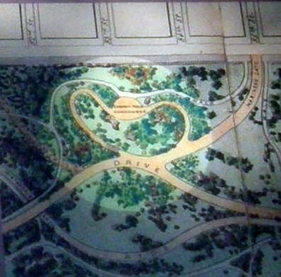
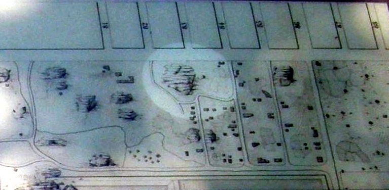
At 142 feet above sea level, this hill is the highest elevation in Central Park and a prominent feature of the Seneca Village location. The hill, now called Summit Rock, is actually a massive bedrock outcrop. Just below, on Central Park West, you can see a cross-section if this enormous rock, which was blasted to create the avenue. The rough and steep terrain made it a difficult place to build, and maps show that no one lived here.
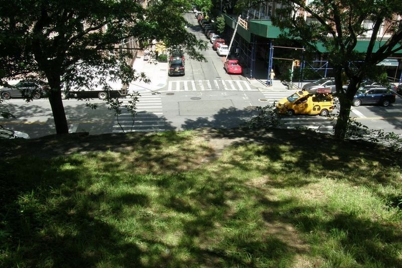
This location offered extensive views in all directions. From the top, village residents could take in the surrounding landscape: to the north and east was their community, and to the west was the Hudson River and the hills of New Jersey beyond. The rock provided a sense of prospect; it was a place to take in the village as a whole and perhaps also spot approaching visitors.
Erected 2020 by Central Park Conservancy.
Topics. This historical marker is listed in these topic lists: Natural Features • Parks & Recreational Areas • Settlements & Settlers.
Location. 40° 46.985′ N, 73° 58.189′ W. Marker is in Manhattan, New York, in New York County. It is in the Central Park West Historic District. Marker can be reached from West 84th Street east of Central Park West. Touch for map. Marker is at or near this postal address: Central Park, New York NY 10024, United States of America. Touch for directions.
Other nearby markers. At least 8 other markers are within walking distance of this marker. Lanes, Lots and Streets (within shouting distance of this marker); Housing (within shouting distance of this marker); Irish Americans (within shouting distance of this marker); Tanner’s Spring (about 300 feet away, measured in a direct line); All Angels’ Church (about 400 feet away); The Wilson House (about 500 feet away); Searching for Seneca Village (about 500 feet away); Discover Seneca Village (about 500 feet away). Touch for a list and map of all markers in Manhattan.
Also see . . .
1. Seneca Village. Wikipedia entry (Submitted on April 24, 2021, by Larry Gertner of New York, New York.)
2. Seneca Village Site. Central Park Conservancy website entry:
Links to several related sub-topics (Submitted on April 24, 2021, by Larry Gertner of New York, New York.)
3. Seneca Village, New York City. National Park Service entry (Submitted on April 24, 2021, by Larry Gertner of New York, New York.)
Photographed By Larry Gertner, June 17, 2020
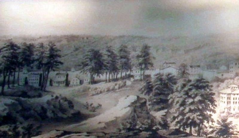
5. Inset - the view west then
This image does not depict Summit Rock, but the view from the rock looking west towards the Hudson River. It does provide a sense of the surrounding area and the rock terrain. Looking west today. you can still see the river and the hills of New Jersey.
Credits. This page was last revised on January 31, 2023. It was originally submitted on April 24, 2021, by Larry Gertner of New York, New York. This page has been viewed 282 times since then and 44 times this year. Photos: 1, 2, 3, 4, 5, 6, 7, 8. submitted on April 24, 2021, by Larry Gertner of New York, New York.
