Central Park West Historic District in Manhattan in New York County, New York — The American Northeast (Mid-Atlantic)
Lanes, Lots and Streets
Seneca Village Landscape
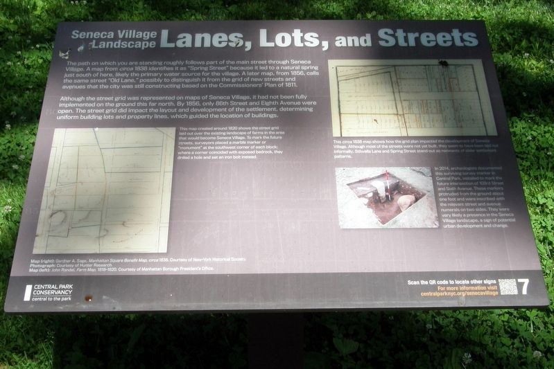
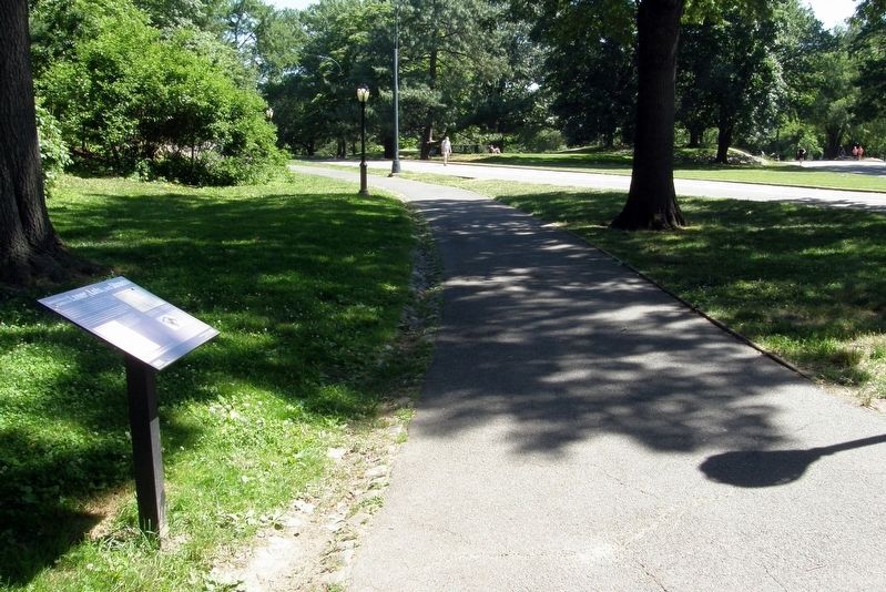
The path on which you are standing roughly follows part of the main street through Seneca Village. A map from circa1838 identifies it as “Spring Street” because it led to a natural spring just south of here, likely the primary source for the village. A later map, from 1856, calls the same street “old Lane”, possibly to distinguish it from the grid of new streets and avenues that the city was still constructing based on the Commissioners’ Plan of 1811.
Although the street grid was represented on maps of Seneca Village. it had not been fully implemented on the ground this far north. By 1856, only 86th Street and Eighth Avenue were open. The street grid did impact the layout and development of the settlement, determining uniform building lots and property lines, which guided the location of buildings.
Erected by Central Park Conservancy. (Marker Number 2020.)
Topics. This historical marker is listed in these topic lists: Parks & Recreational Areas • Roads & Vehicles • Settlements & Settlers. A significant historical year for this entry is 1838.
Location. 40° 46.981′ N, 73° 58.164′ W. Marker is in Manhattan, New York, in New York County. It is in the Central Park West Historic District. Marker can be reached from West 83rd Street east of Central Park West. Touch for map. Marker is at or near this postal address: Central Park, New York NY 10024, United States of America. Touch for directions.
Other nearby markers. At least 8 other markers are within walking distance of this marker. Housing (within shouting distance of this marker); Summit Rock (within shouting distance of this marker); Irish Americans (about 300 feet away, measured in a direct line); Tanner’s Spring (about 300 feet away); All Angels’ Church (about 400 feet away); The Wilson House (about 400 feet away); Searching for Seneca Village (about 500 feet away); Livelihoods (about 500 feet away). Touch for a list and map of all markers in Manhattan.
Photographed By Larry Gertner, June 17, 2020
3. Inset
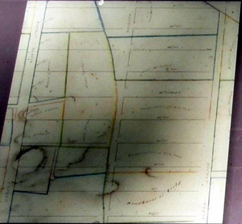
This map created around 1820 shows the street grid laid out over the existing landscape of farms in the area that would become Seneca Village. To mark the future streets, surveyors placed a marble marker or “monument” at the southeast corner of each block; where a corner coincided with exposed bedrock, they drilled a hole and set an iron bolt instead.
Photographed By Larry Gertner, June 17, 2020
4. Inset
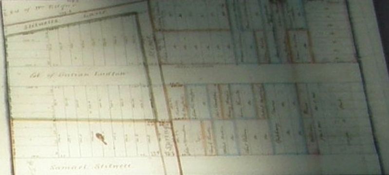
This circa 1838 map shows how the grid plan impacted the development of Seneca Village. Although most of the streets were not yet built, they seem to have been laid out informally. Stillwells Lane and Spring Street stand out as remnants of older settlement patterns.
Photographed By Larry Gertner, June 17, 2020
5. Inset
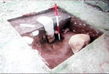
In 2014, archeologists documented this surviving surveying marker in Central Park, installed to mark the future intersection of 103rd Street and Sixth Avenue. These markers protruded from the ground about one foot and were inscribed with the relevant street and avenue numerals on two sides. They were very likely a presence in the Seneca Village landscape, a sign of potential urban development and change.
Credits. This page was last revised on January 31, 2023. It was originally submitted on April 25, 2021, by Larry Gertner of New York, New York. This page has been viewed 92 times since then and 12 times this year. Photos: 1, 2, 3, 4, 5. submitted on April 25, 2021, by Larry Gertner of New York, New York.
