Near Scottsburg in Halifax County, Virginia — The American South (Mid-Atlantic)
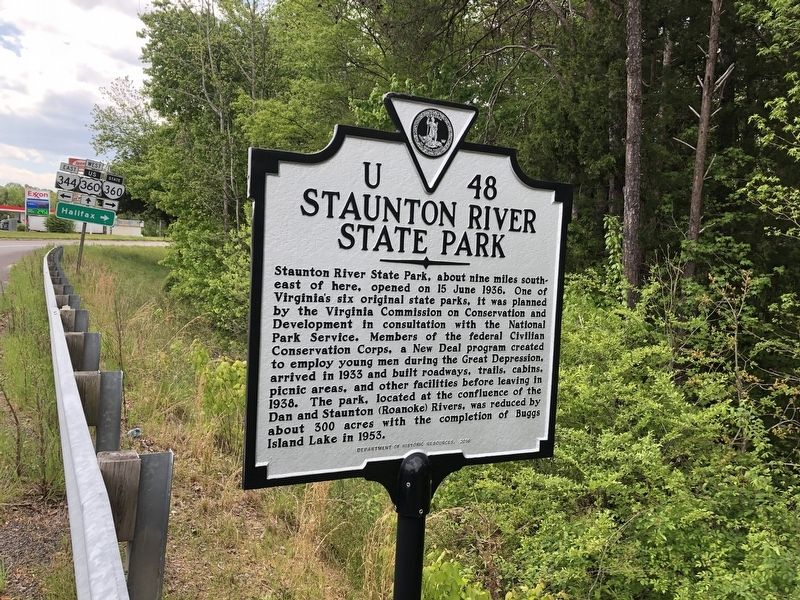
Staunton River State Park
Erected 2016 by Department of Historic Resources. (Marker Number U-48.)
Topics and series. This historical marker is listed in these topic lists: Charity & Public Work • Parks & Recreational Areas • Waterways & Vessels. In addition, it is included in the Civilian Conservation Corps (CCC), and the Virginia Department of Historic Resources (DHR) series lists. A significant historical date for this entry is June 15, 1936.
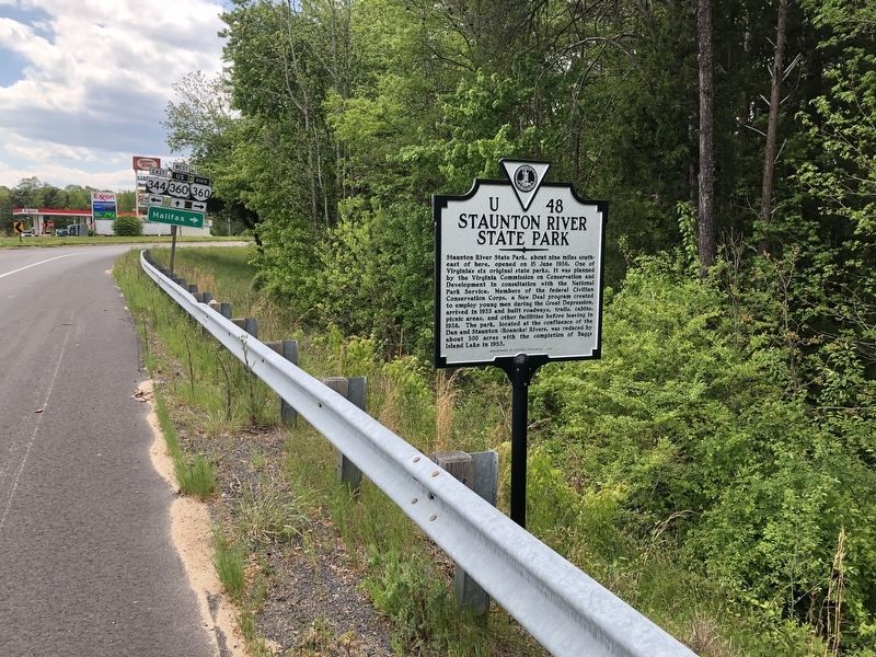
Location. 36° 46.842′ N, 78° 48.81′ W. Marker is near Scottsburg, Virginia, in Halifax County. Marker is on James D Hagood Highway (U.S. 360) 0.1 miles north of Bethel Road (Virginia Route 360), on the right when traveling south. Touch for map. Marker is at or near this postal address: 7185 James D Hagood Hwy, Scottsburg VA 24589, United States of America. Touch for directions.
Other nearby markers. At least 8 other markers are within 7 miles of this marker, measured as the crow flies. Nathaniel Terry's Grave (approx. 2.8 miles away); Henrietta Lacks (approx. 5 miles away); Mary M. Bethune High School (approx. 6.1 miles away); Halifax Court House (approx. 6.4 miles away); Halifax County War Memorial (approx. 6˝ miles away); Frank Eubank Booker, Jr. (approx. 6˝ miles away); Halifax County Confederate Monument (approx. 6˝ miles away); History of Halifax (approx. 6˝ miles away).
Related marker. Click here for another marker that is related to this marker. Old Marker At This Location also titled "Staunton River State Park".
Credits. This page was last revised on April 20, 2023. It was originally submitted on April 25, 2021, by Devry Becker Jones of Washington, District of Columbia. This page has been viewed 103 times since then and 13 times this year. Photos: 1, 2. submitted on April 25, 2021, by Devry Becker Jones of Washington, District of Columbia.

