Near Winchester in Clark County, Kentucky — The American South (East South Central)
Capt. Isaac Cunningham
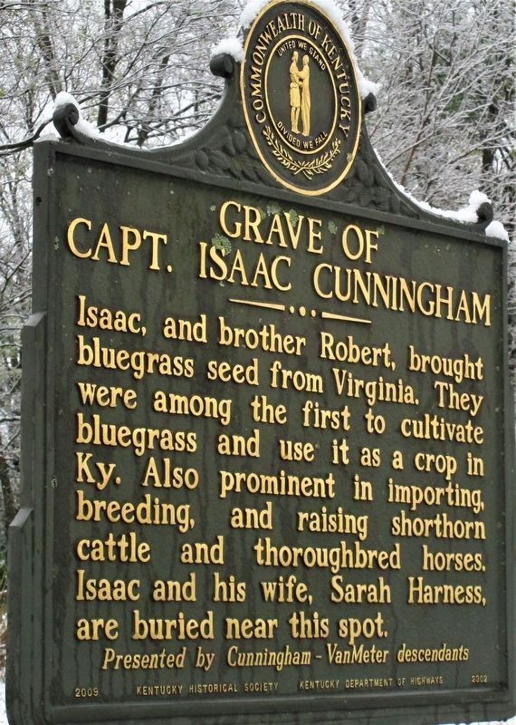
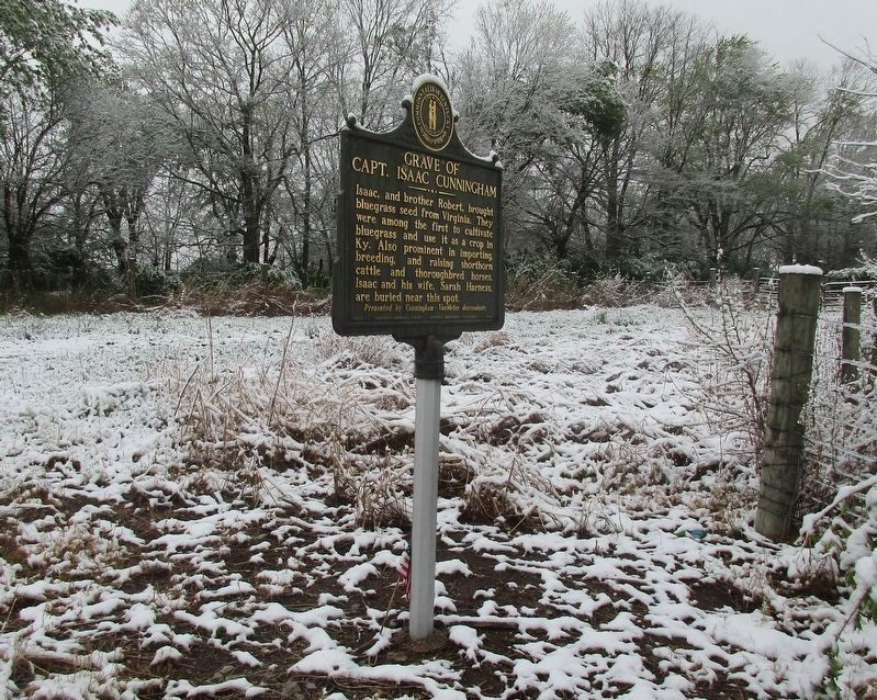
Grave of Capt. Isaac Cunningham
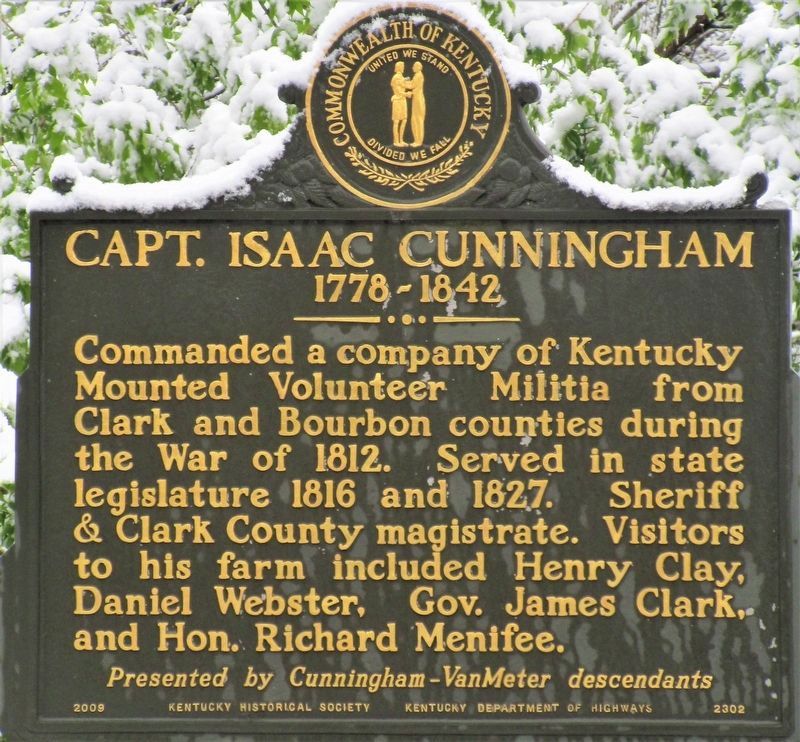
Capt. Isaac Cunningham
1778-1824
Commanded a company of Kentucky Mounted Volunteer Militia from Clark and Bourbon counties during the War of 1812. Served in state legislature 1816 and 1827. Sheriff & Clark County magistrate. Visitors to his farm included Henry Clay, Daniel Webster, Gov. James Clark, and Hon. Richard Menifee.
Grave of Capt. Isaac Cunningham
Isaac, and brother Robert, brought bluegrass seed from Virginia. They were among the first to cultivate bluegrass and use it as a crop in Ky. Also prominent in importing, breeding, and raising shorthorn cattle and thoroughbred horses. Isaac and his wife, Sarah Harness, are buried near this spot.
Erected 2009 by Cunningham-Van Meter descendants, Kentucky Historical Society and Kentucky Department of Highways. (Marker Number 2203.)
Topics and series. This memorial is listed in these topic lists: Agriculture • Settlements & Settlers • War of 1812. In addition, it is included in the Kentucky Historical Society series list. A significant historical year for this entry is 1812.
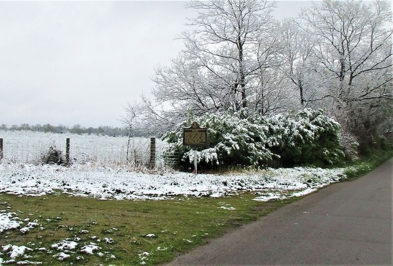
Location. 38° 2.914′ N, 84° 12.882′ W. Marker is near Winchester, Kentucky, in Clark County. Memorial is on Van Meter Road west of Rennick Station Road, on the right when traveling west. The marker is at the lane leading back to the Van Meter-Cunningham Cemetery. Touch for map. Marker is at or near this postal address: 3375 Van Meter Road, Winchester KY 40391, United States of America. Touch for directions.
Other nearby markers. At least 8 other markers are within 5 miles of this marker, measured as the crow flies. Capt. John Strode (approx. 2.7 miles away); East KY. Power Cooperative (approx. 2.9 miles away); Canewood (approx. 3˝ miles away); Allen Tate (1899-1978) (approx. 3˝ miles away); Clark County Hemp / Hemp in Kentucky (approx. 3.8 miles away); Sculptor's Birthplace (approx. 3.9 miles away); Hanson Home Site (approx. 4.2 miles away); Daniel Boone (approx. 4.2 miles away). Touch for a list and map of all markers in Winchester.
Credits. This page was last revised on April 27, 2021. It was originally submitted on April 25, 2021, by Rev. Ronald Irick of West Liberty, Ohio. This page has been viewed 234 times since then and 12 times this year. Photos: 1, 2, 3, 4. submitted on April 25, 2021, by Rev. Ronald Irick of West Liberty, Ohio. • J. Makali Bruton was the editor who published this page.


