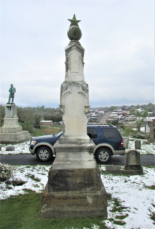
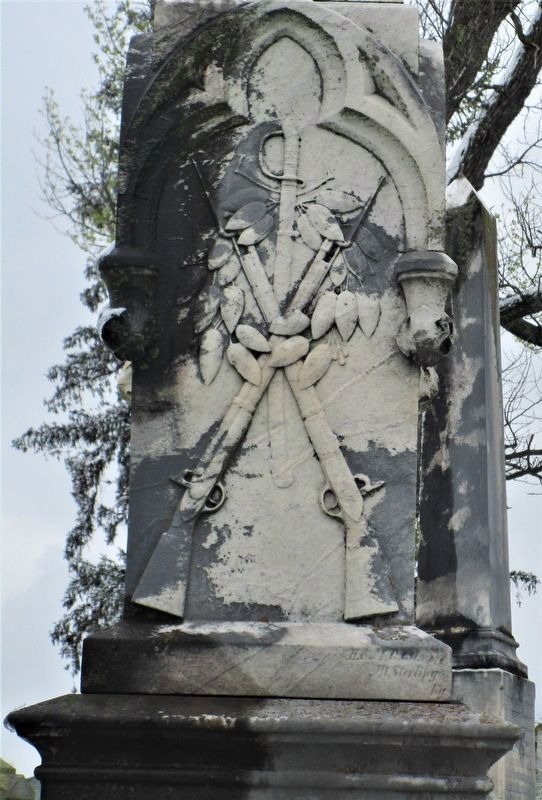
Montgomery County Confederate Monument
Machpelah Cemetery
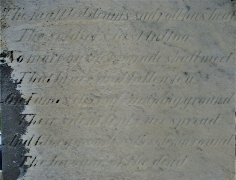
The muffled drums sad roll has beat
The soldier’s last tattoo;
No more on life’s parade shall meet
That brave and fallen few.
On Fame’s eternal camping-ground
Their silent tents are spread,
And Glory guards, with solemn round,
The bivouac of the dead.
Erected 1880.
Topics. This monument and memorial is listed in these topic lists: Cemeteries & Burial Sites • War, US Civil.
Location. 38° 3.519′ N, 83° 55.973′ W. Marker is near Mount Sterling, Kentucky, in Montgomery County. Memorial can be reached from East Locust Street/Spencer Road (Kentucky Route 713) 0.9 miles west of Indian Mound Drive (Kentucky Route 686), on the right when traveling west. Located in Machpelah Cemetery. Touch for map. Marker is at or near this postal address: 600 E Locust St, Mount Sterling KY 40353, United States of America. Touch for directions.
Other nearby markers. At least 8 other markers are within walking distance of this marker. Mount Sterling Veterans Memorial (approx. 0.2 miles away); Little Mountain Indian Mound (approx. 0.4 miles away); Montgomery County Kentucky Vietnam Casualties (approx. half a mile away); Montgomery County World War II Memorial (approx. 0.6 miles away); Montgomery County Kentucky World War I Memorial
Regarding Montgomery County Confederate Monument. This was one of 61 different monuments related to the Civil War in Kentucky placed on the National Register of Historic Places in 1997.
Credits. This page was last revised on May 4, 2021. It was originally submitted on April 27, 2021, by Rev. Ronald Irick of West Liberty, Ohio. This page has been viewed 315 times since then and 50 times this year. Last updated on April 28, 2021, by Bradley Owen of Morgantown, West Virginia. Photos: 1, 2, 3, 4, 5. submitted on April 27, 2021, by Rev. Ronald Irick of West Liberty, Ohio. • J. Makali Bruton was the editor who published this page.


