Winston-Salem in Forsyth County, North Carolina — The American South (South Atlantic)
The Landscape South of St. Philips
Photographed by Devry Becker Jones (CC0), April 23, 2021
1. The Landscape South of St. Philips Marker
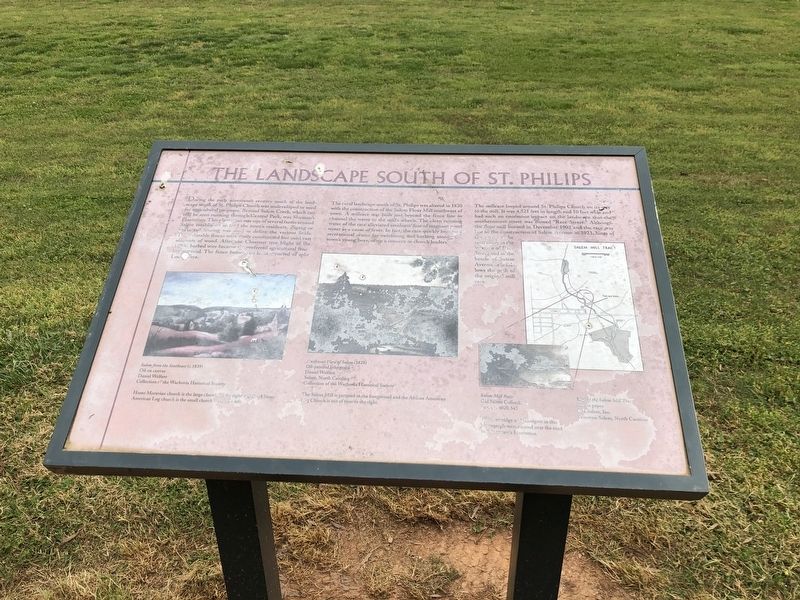
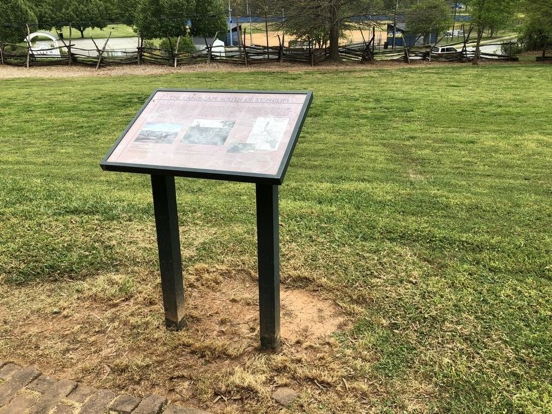
During the early nineteenth century much of the landscape south of St. Philips Church was undeveloped or used for agricultural purposes. Beyond Salem Creek, which can still be seen running through Central Park, was Shuman's Plantation. This plantation was one of several farms around Salem established to feed the town's residents. Zigzag or snake rail fencing was used to define the various fields. These durable fences were easily constructed but used vast amounts of wood. After the Chestnut tree blight of the 1880s, barbed wire became the preferred agricultural fencing materials. The fence before you is constructed of split Locust Trees.
The rural landscape south of St. Philips was altered in 1820 with the construction of the Salem Flour Mill southwest of town. A millrace was built just beyond the fence line to channel the water to the mill's wheels. The clean running water of the race alleviated residents' fear of stagnant pond water as a cause of fever. In fact the race quickly became a recreational center for swimming and bathing among the town's young boys, often a concern to church leaders.
The millrace looped
this page online
Topics. This historical marker is listed in these topic lists: Agriculture • Industry & Commerce • Religion & Religious Structures • Waterways & Vessels. A significant historical month for this entry is December 1902.
Location. 36° 5.049′ N, 80° 14.405′ W. Marker is in Winston-Salem, North Carolina, in Forsyth County. It is on South Church Street just north of Race Street, on the right when traveling north. Touch for map. Marker is at or near this postal address: 911 S Church St, Winston Salem NC 27101, United States of America. Touch for directions.

Regionally, this marker is in North Carolina’s Piedmont and specifically in Piedmont Triad. It is also in the American
Photographed by Devry Becker Jones (CC0), April 23, 2021
2. The Landscape South of St. Philips Marker
Other nearby markers. At least 8 other markers are within walking distance of this marker: Emancipation in Salem (here, next to this marker); The African American Graveyard (a few steps from this marker); Last Burials in the Parish Graveyard (within shouting distance of this marker); Historic Happy Hill Path (within shouting distance of this marker); Squire's Grave (within shouting distance of this marker); Happy Hill Overlook (within shouting distance of this marker); Reich-Hege House Site (1830-1922) (within shouting distance of this marker); Lewis Hege (1840-1918) (within shouting distance of this marker). Touch for a list and map of all markers in Winston-Salem.
Credits. This page was last revised on April 28, 2021. It was originally submitted on April 28, 2021, by Devry Becker Jones of Washington, District of Columbia. This page has been viewed 236 times since then and 26 times this year. Photos: 1, 2. submitted on April 28, 2021, by Devry Becker Jones of Washington, District of Columbia.
