Central Oklahoma City in Oklahoma County, Oklahoma — The American South (West South Central)
Current Oklahoma State Flag
Fourteenth flag to fly over Oklahoma
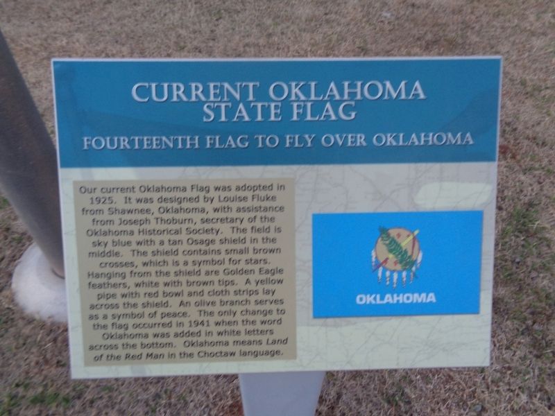
Photographed by Jason Voigt, April 9, 2021
1. Current Oklahoma State Flag Marker
Erected by OGE Energy Corp.
Topics and series. This historical marker is listed in these topic lists: Indigenous Peoples and Communities • Women. In addition, it is included in the Vexillology series list. A significant historical year for this entry is 1925.
Location. 35° 29.673′ N, 97° 29.883′ W. Marker is in Oklahoma City, Oklahoma, in Oklahoma County. It is in Central Oklahoma City. It is on Nazih Zuhdi Drive east of North Phillips Avenue, on the
this page online

Regionally, this marker is in Central Oklahoma—Frontier Country. It is also in the American South, specifically on the prairies, and on the Southern Plains. Globally, it is in North America, the Western Hemisphere, the Western World, and the Anglosphere. Historically, it finds itself in what was once the territory of the Mississippian Culture and also the Louisiana Purchase.
Other nearby markers. At least 8 other markers are within walking distance of this marker: First Oklahoma State Flag (here, next to this marker); First National Flag of the Confederacy (a few steps from this marker); Choctaw Nation Flag (a few steps from this marker); Second Flag of the Republic of Texas (a few steps from this marker); Devon Oil and Gas Exploration Park (a few steps from this marker); First Flag of the Republic of Texas (within shouting distance of this marker); Oklahoma's Oil Pioneers (within shouting
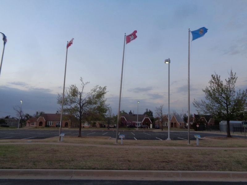
Photographed by Jason Voigt, April 9, 2021
2. Current Oklahoma State Flag Marker
Marker is the right of the three
More about this marker. Marker (and flag) are part of the exterior exhibit, "14 Flags Over Oklahoma", which was sponsored by OGE (Oklahoma Gas & Electric) Energy Corp. This is the fourteenth, and last, in chronological order.
Credits. This page was last revised on February 16, 2023. It was originally submitted on May 5, 2021, by Jason Voigt of Glen Carbon, Illinois. This page has been viewed 379 times since then and 35 times this year. Photos: 1, 2. submitted on May 5, 2021, by Jason Voigt of Glen Carbon, Illinois.
