Lake Jackson in Brazoria County, Texas — The American South (West South Central)
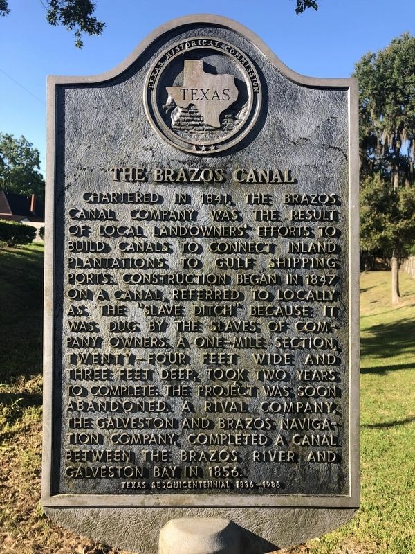
The Brazos Canal
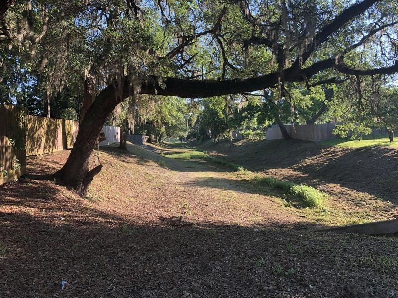
Chartered in 1841, the Brazos Canal Company was the result of local landowners' efforts to build canals to connect inland plantations to Gulf shipping ports. Construction began in 1847 on a canal, referred to locally as the "slave ditch" because it was dug by the slaves of company owners. A one-mile section, twenty-four feet wide and three feet deep, took two years to complete. The project was soon abandoned. A rival company, the Galveston and Brazos Navigation Company, completed a canal between the Brazos River and Galveston Bay in 1856.
Texas Sesquicentennial 1836-1986
Erected 1986 by Texas Historical Commission. (Marker Number 9535.)
Topics. This historical marker is listed in these topic lists: Agriculture • Waterways & Vessels. A significant historical year for this entry is 1847.
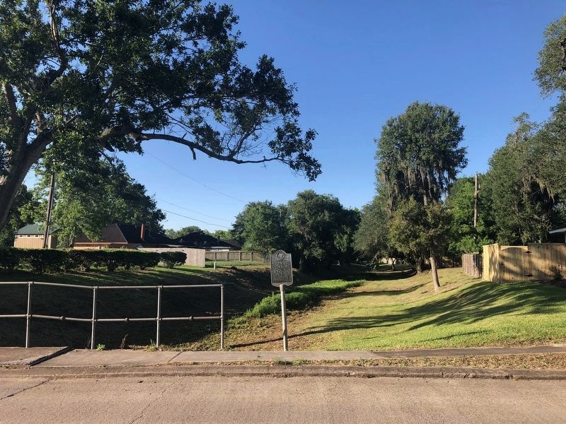
Location. 29° 3.423′ N, 95° 25.906′ W. Marker is in Lake Jackson, Texas, in Brazoria County. Marker is on Crepe Myrtle Street east of Beechwood Street, on the right when traveling east. Touch for map. Marker is in this post office area: Lake Jackson TX 77566, United States of America. Touch for directions.
Other nearby markers. At least 8 other markers are within 4 miles of this marker, measured as the crow flies. Mammoth Lake (approx. 2 miles away); Abner Jackson Plantation (approx. 2.2 miles away); William Harris Wharton (approx. 2.6 miles away); Dr. Branch Tanner Archer (approx. 2.6 miles away); Eagle Island Plantation (approx. 2.7 miles away); Joseph H. Hawkins (approx. 2.8 miles away); Site of Crosby's Landing (approx. 3.2 miles away); Phair Cemetery (approx. 3.8 miles away). Touch for a list and map of all markers in Lake Jackson.
Regarding The Brazos Canal. This section of canal was an attempt to link lower Oyster Creek with the upper section of Bastrop Bayou, thus providing a water route from Abner Jackson's plantations (Retrieve, Lake Jackson) and others via Bastrop Bay and East Galveston Bay directly to the port of Galveston, avoiding the Brazos River bar and Gulf entirely. Thus, the name is slightly misleading, although the route established via the Brazos and seaside canals did make this route less practicable, since they were able to handle larger vessels.
Also see . . . Galveston and Brazos Navigation Company entry at Handbook of Texas. (Submitted on May 6, 2021, by Chris Kneupper of Brazoria, Texas.)
Credits. This page was last revised on May 6, 2021. It was originally submitted on May 6, 2021, by Chris Kneupper of Brazoria, Texas. This page has been viewed 523 times since then and 78 times this year. Photos: 1, 2, 3. submitted on May 6, 2021, by Chris Kneupper of Brazoria, Texas. • J. Makali Bruton was the editor who published this page.


