Piqua in Miami County, Ohio — The American Midwest (Great Lakes)
Lock Nine Riverfront Park
Introduction and Summary
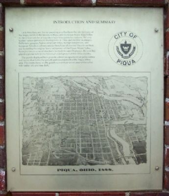
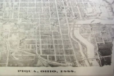
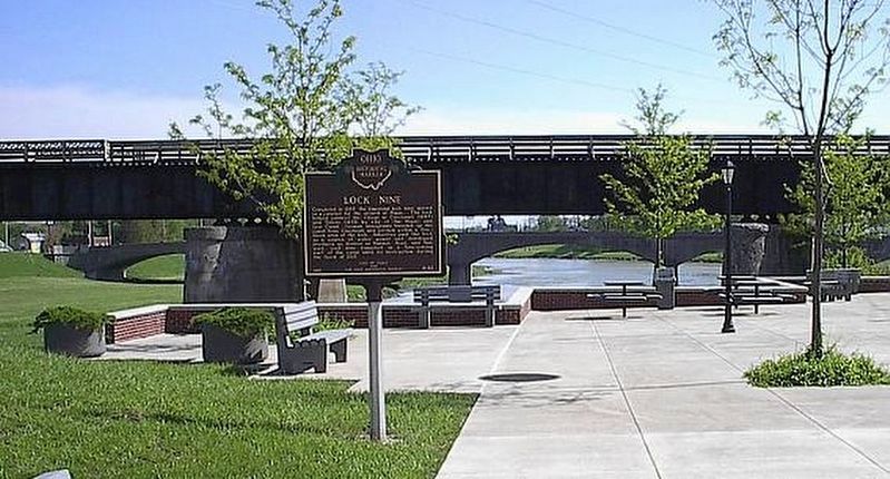
Lock Nine Park and the surrounding area has been the site for many of the major events in the history of Piqua and the Great Miami River Valley. As the crossroads for at least five major transportation systems, the area typifies various periods of development in Ohio and the Old Northwest. Prehistoric peoples, Native American tribes, foreign conquerors, and European-American adventurers/settlers have all crossed this site on their way to taming the original forest wilderness of the Upper Miami Valley. From prehistoric mound structures to modern super highways, the area has played a pivotal role in the historic development of the Ohio country.
The panels displayed here provide a brief encapsulation of personalities and events that led to the growth and development of the Piqua, Ohio area. The events listed on the panels concentrate on an area within a five mile radius of Lock Nine Park.
Erected by City of Piqua.
Topics. This historical marker is listed in these topic lists: Notable Events • Waterways & Vessels.
Location. 40° 8.849′ N, 84° 14.296′ W. Marker is in Piqua, Ohio, in Miami County. Marker is at the intersection of Water Street (U.S. 36) and Spring Street, on the left when traveling west on Water Street. Touch for map. Marker is at or near this postal address: 125 E Water Street, Piqua OH 45356, United States of America. Touch for directions.
Other nearby markers. At least 8 other markers are within walking distance of this marker. Lock Nine (a few steps from this marker); The 1913 Flood (within shouting distance of this marker); Main Street (about 400 feet away, measured in a direct line); Capt. Don Gentile (about 500 feet away); Public Square (about 500 feet away); The Mills Brothers (about 600 feet away); Piqua Veterans Memorial (about 700 feet away); William Moore McCullough / Civil Rights Movement in Piqua (about 800 feet away). Touch for a list and map of all markers in Piqua.
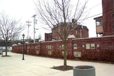
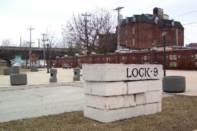
More about this marker. This marker introduces a series of historical markers that are mounted along a 200 foot brick wall in Lock Nine Riverfront Park.
Credits. This page was last revised on July 12, 2022. It was originally submitted on March 22, 2009, by William Fischer, Jr. of Scranton, Pennsylvania. This page has been viewed 1,085 times since then and 27 times this year. Photos: 1, 2, 3, 4. submitted on March 22, 2009, by William Fischer, Jr. of Scranton, Pennsylvania. 5. submitted on July 12, 2022, by Larry Gertner of New York, New York. 6. submitted on March 22, 2009, by William Fischer, Jr. of Scranton, Pennsylvania. • Kevin W. was the editor who published this page.
