Guthrie Loop Area
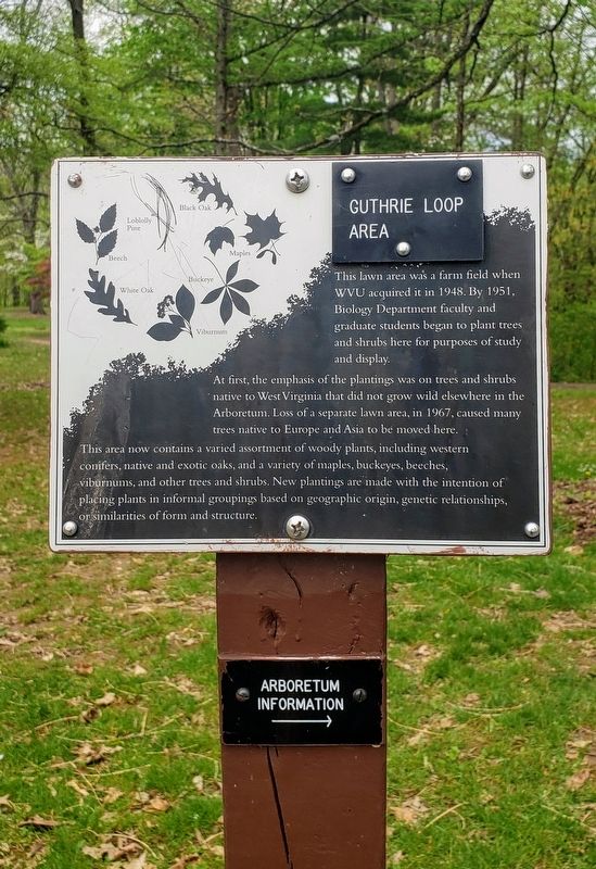
This lawn area was a farm field when WVU acquired it in 1948. By 1951, Biology Department faculty and graduate students began to plant trees and shrubs here for purposes of study and display.
At first, the emphasis of the plantings was on trees and shrubs native to West Virginia that did not grow wild elsewhere in the Arboretum. Loss of a separate lawn area, in 1967, caused many trees native to Europe and Asia to be moved here.
This area now contains a varied assortment of woody plants, including western conifers, native and exotic oaks, and a variety of maples, buckeyes, beeches, viburnums, and other trees and shrubs. New plantings are made with the intention of placing plants in informal groupings based on geographic origin, genetic relationships, or similarities of form and structure.
Topics. This historical marker is listed in these topic lists: Agriculture • Education • Horticulture & Forestry • Parks & Recreational Areas. A significant historical year for this entry is 1948.
Location. 39° 38.806′ N, 79° 58.648′ W. Marker is in Morgantown, West Virginia, in Monongalia County. Marker is on Monongahela Boulevard (U.S. 19) 0.1 miles south of Evansdale Drive, on the right when traveling south. The marker is at the entrance for the West Virginia University
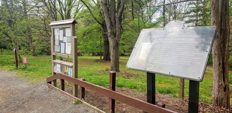
Other nearby markers. At least 8 other markers are within walking distance of this marker. Core Arboretum (here, next to this marker); Liberty Island Tree (within shouting distance of this marker); a different marker also named Core Arboretum (within shouting distance of this marker); Dawn Redwood (within shouting distance of this marker); West Virginia University (within shouting distance of this marker); Veterans Memorial (about 400 feet away, measured in a direct line); Wagon Road (approx. 0.2 miles away); Sugar Maple (approx. 0.2 miles away). Touch for a list and map of all markers in Morgantown.
More about this marker. The marker can only be accessed from the south bound lane on Monongahela Boulevard.
Credits. This page was last revised on May 10, 2021. It was originally submitted on May 8, 2021, by Bradley Owen of Morgantown, West Virginia. This page has been viewed 116 times since then and 17 times this year. Photos: 1, 2. submitted on May 8, 2021, by Bradley Owen of Morgantown, West Virginia. • Devry Becker Jones was the editor who published this page.

