McDowell in Highland County, Virginia — The American South (Mid-Atlantic)
Battle of McDowell
"God blessed our arms with victory at McDowell"
| — | 1862 Valley Campaign | — |
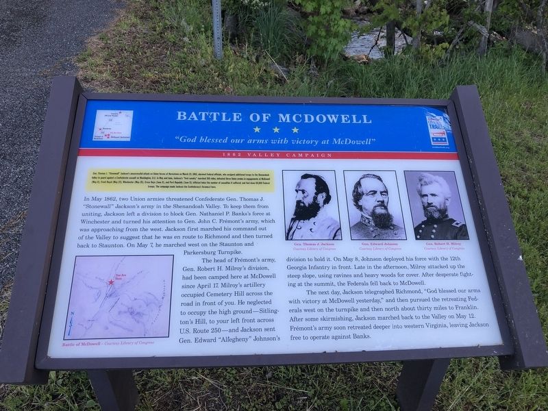
Gen. Thomas J. "Stonewall" Jackson's unsuccessful attack on Union forces at Kernstown on March 23, 1862, alarmed Federal officials, who assigned additional troops to the Shenandoah Valley to guard against a Confederate assault on Washington, D.C. In May and June, Jackson's "foot cavalry" marched 350 miles; defeated three Union armies in engagements at McDowell (May 8), Front Royal (May 23), Winchester (May 25), Cross Keys (June 8), and Port Republic (June 9); inflicted twice the number of casualties it suffered; and tied down 60,000 Federal troops. The campaign made Jackson the Confederate's foremost hero.
In May 1862, two Union armies threatened Confederate Gen. Thomas J. "Stonewall" Jackson's army in the Shenandoah Valley. To keep them from uniting, Jackson left a division to block Gen. Nathaniel P. Banks's force at Winchester and turned his attention to Gen. John C. Frémont's army, which was approaching from the west. Jackson first marched his command out of the Valley to suggest that he was en route to Richmond and then turned back to Staunton. On May 7, he marched west on the Staunton and Parkersburg Turnpike.
The
this page online
The next day, Jackson telegraphed Richmond, "God blessed our arms with victory at McDowell yesterday," and then pursued the retreating Federals west on the turnpike and then north about thirty miles to Franklin. After some skirmishing, Jackson marched back to the Valley on May 12. Frémont's army soon retreated deeper into western Virginia, leaving Jackson free to operate against Banks.
Erected by Virginia Civil War Trails.
Topics and series. This historical marker is listed in these topic lists: Roads & Vehicles • War, US Civil.
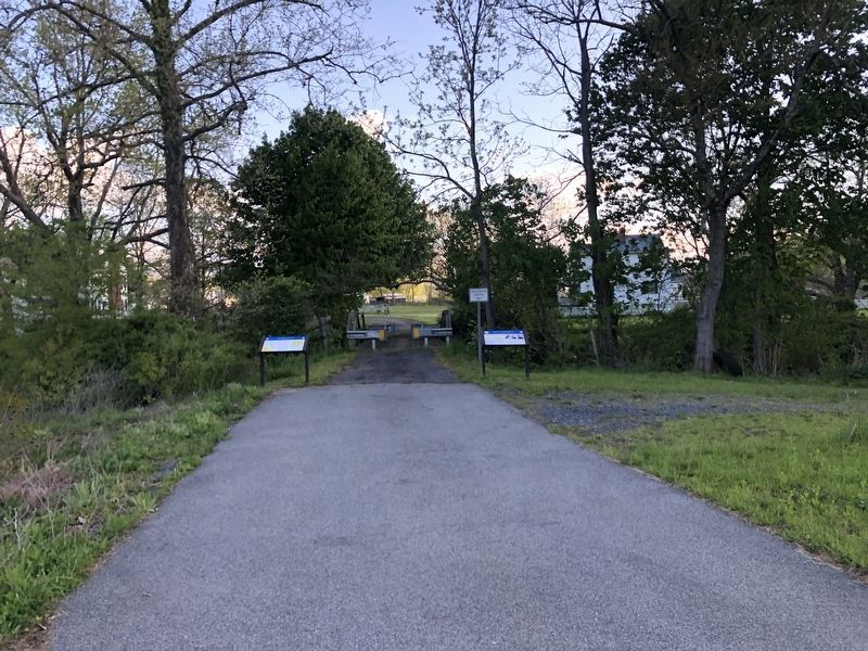
Location. This marker has been replaced by another marker nearby. It was located near 38° 20.111′ N, 79° 29.397′ W. Marker was in McDowell, Virginia, in Highland County. It was on Virginia Route 645 just north of Highland Turnpike (U.S. 250), on the right when traveling north. Touch for map. Marker was at or near this postal address: 8883 Highland Turnpike, Mc Dowell VA 24458, United States of America. Touch for directions.

Regionally, this marker was in the Shenandoah Valley, in the Alleghany Highlands, and specifically in the Potomac Highlands. It was also in the American South, specifically in the Upper South, in Appalachia, and specifically in Southern Appalachia. Globally, it was in North America, the Western Hemisphere, the Western World, and the Anglosphere. Historically, it found itself in what was once the territory of the Mississippian Culture, one of the original Thirteen Colonies, one of the Confederate States of America, and the Antebellum South.
Other nearby markers. At least 8 other
Photographed by Robert Heyward, 2022
3. Battle of McDowell Marker
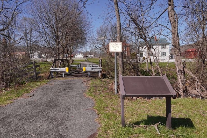
The signs for both adjacent historical markers are missing as of April 2022 although the frames are still present and in good shape.
Other markers no longer nearby. Highway to War (was here, next to this marker but has been reported to have been replaced with another marker now near it); Battle Of McDowell (was approx. 0.2 miles away but has been replaced with another marker now near it); Village of McDowell (was approx. ¼ mile away but has been replaced with another marker now near it).
Credits. This page was last revised on November 8, 2023. It was originally submitted on May 9, 2021, by Devry Becker Jones of Washington, District of Columbia. This page has been viewed 338 times since then and 22 times this year. Photos: 1, 2. submitted on May 9, 2021, by Devry Becker Jones of Washington, District of Columbia. 3. submitted on August 8, 2022, by Robert Heyward of Prattville, Alabama.
