Central Park West Historic District in Manhattan in New York County, New York — The American Northeast (Mid-Atlantic)
Geology
Seneca Village Landscape
Photographed by Larry Gertner, June 17, 2020
1. Geology marker
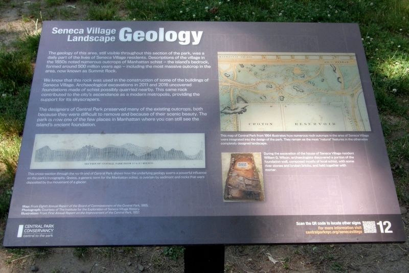
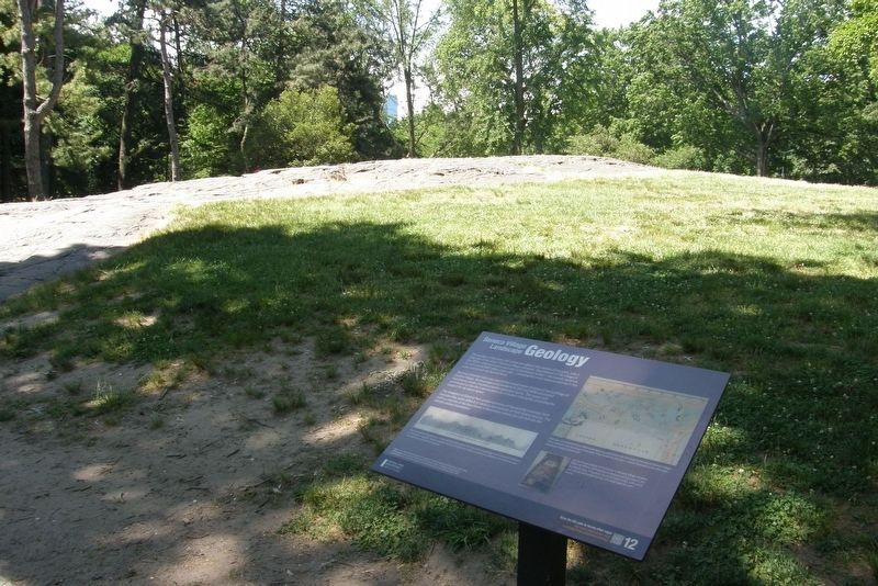
The geology of this area, still visible throughout this section of the park, was a daily part of the lives of Seneca Village residents. Descriptions of the village in the 1850s noted numerous outcrops of Manhattan schist – the island’s bedrock, formed around 500 million years ago – including the most massive outcrop in the area, now known as Summit Rock.
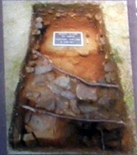
We know that this rock was used in the construction of some of the buildings of Seneca Village. Archeological excavations in 2011 and 2016 uncovered foundations made of schist possibly quarried nearby. This same rock contributed to the city’s ascendance as a modern metropolis, providing the support for its skyscrapers.
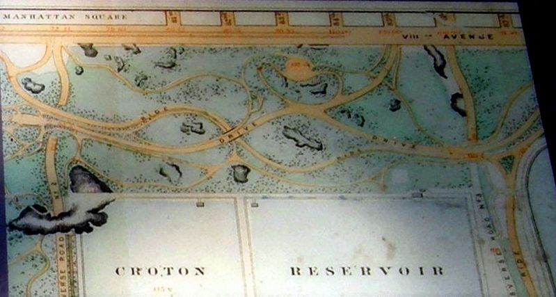
The designers of Central Park preserved many of the existing outcrops, both because they were difficult to remove and because of their scenic beauty. The park is now one of the few placed in Manhattan where you can still see the city’s ancient foundations.
Erected 2020 by Central Park Conservancy.
Topics. This historical marker is listed in these topic lists: Natural Features • Parks & Recreational Areas • Settlements & Settlers. A significant historical year for this entry is 2011.
Location. 40° 47.009′ N,
this page online

Regionally, this marker is in New York City. It is also in the American Northeast, in the Mid-Atlantic, and on the Eastern Seaboard. Globally, it is in the North Atlantic Region, North America, the Western Hemisphere, the Western World, and the Anglosphere. Historically, it finds itself in what was once New Netherland and also one of the original Thirteen Colonies.
Other nearby markers. At least 8 other markers are within walking distance of this marker: Reservoir Keepers (within shouting distance of this marker); Discover Seneca Village (within shouting distance of this marker); AME Zion Church (within shouting distance of this marker); Gardens (within shouting distance of this marker); African Union Church (within shouting distance of this marker); Seneca Village (about 300
Photographed by Larry Gertner, June 17, 2020
2. Geology marker
The Manhattan schist outcropping
Also see . . .
1. Seneca Village. Wikipedia entry (Submitted on May 10, 2021, by Larry Gertner of New York, New York.)
2. Seneca Village Site. Central Park Conservancy website entry:
Links to several related sub-topics (Submitted on May 10, 2021, by Larry Gertner of New York, New York.)
3. Seneca Village, New York City. National Park Service entry (Submitted on May 10, 2021, by Larry Gertner of New York, New York.)
Photographed by Larry Gertner, June 17, 2020
3. Inset
This map of Central Park from 1864 illustrates how numerous rock outcrops in the area of Seneca Village were integrated into the design of the park. They remain as the most “natural” features in the otherwise completely designed landscape.
Photographed by Larry Gertner, June 17, 2020
4. Inset
During the excavation of the house of Seneca Village resident William G. Wilson, archeologists discovered a portion of the foundation wall, composed mostly of local schist, with some river stones and broken bricks, and held together with mortar.

Photographed by Larry Gertner, June 17, 2020
5. Inset
This cross-section through the north end of Central Park shows how the underlying geology exerts a powerful influence on the park’s topography. Gneiss, a generic term for the Manhattan schist, is overlain by sediment and rocks that were deposited by the movement of a glacier.
Credits. This page was last revised on January 31, 2023. It was originally submitted on May 10, 2021, by Larry Gertner of New York, New York. This page has been viewed 333 times since then and 57 times this year. Photos: 1, 2, 3, 4, 5. submitted on May 10, 2021, by Larry Gertner of New York, New York.
