Greenbelt in Prince George's County, Maryland — The American Northeast (Mid-Atlantic)
Greenbelt Lake
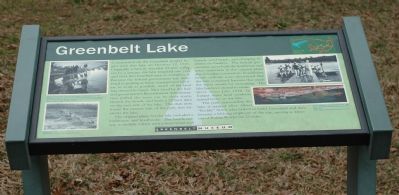
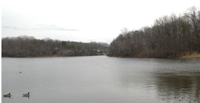
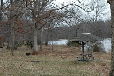
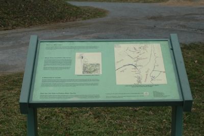
Construction on the Greenbelt project began with this lake on October 12, 1935. Originally a heavily wooded 23-acre valley cut by a stream, the lake required one year and over two hundred men to complete it. Because the federal government was interested in putting as many unemployed laborers to work as possible, much of the land was cleared by hand. Men hired by the federal government's Resettlement Administration pulled the trees out by their root, cleared the brush, and built a 22-foot dam on the east side of the lake. The dam now forms the eastern link of the path that encircles the lake.
The original plans for the lake included a bathhouse and boathouse. The boathouse was to include a dock with a boat rental and launch, sand beach, and changing facilities for bathers. The federal government never built the boathouse and other structures in the original plans due to budget constraints. In addition, health officials soon discovered that the lake contained bacteria that made the water unsafe for swimming. The lake has been closed to swimmers since July 1938. In former times local residents rented boats on the lake.
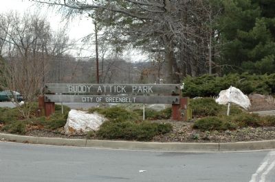
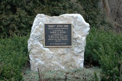
The park surrounding the lake is named after Albert "Buddy" Attick who helped to build Greenbelt and then became a lifelong employee of the city, serving as Director of Public Works for 23 years.
Erected by Greenbelt Museum.
Topics. This historical marker is listed in these topic lists: Parks & Recreational Areas • Waterways & Vessels. A significant historical year for this entry is 1935.
Location. 39° 0.233′ N, 76° 53.41′ W. Marker is in Greenbelt, Maryland, in Prince George's County. Marker can be reached from Crescent Road east of Kenilworth Avenue (Maryland Route 201). Marker is in Buddy Attick Park near the parking lot towards the lake. Touch for map. Marker is in this post office area: Greenbelt MD 20770, United States of America. Touch for directions.
Other nearby markers. At least 5 other markers are within walking distance of this marker. Anna Eleanor Roosevelt Memorial Tree (approx. 0.3 miles away); Toaping Castle (approx. 0.6 miles away); Greenbelt Museum (approx. 0.6 miles away); Eleanor Roosevelt (approx. 0.7 miles away); Community Center (approx. 0.7 miles away). Touch for a list and map of all markers in Greenbelt.
Credits. This page was last revised on September 29, 2020. It was originally submitted on March 17, 2006, by Tom Fuchs of Greenbelt, Maryland. This page has been viewed 3,777 times since then and 35 times this year. Photos: 1, 2, 3, 4, 5, 6, 7, 8, 9. submitted on March 17, 2006, by Tom Fuchs of Greenbelt, Maryland. • J. J. Prats was the editor who published this page.
