New Concord in Calloway County, Kentucky — The American South (East South Central)
Under Union Occupation
Inscription.
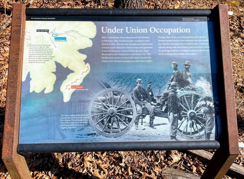
After Confederate forces abandoned Fort Heiman in February 1862, Federal troops occupied it until March 6, 1863. The fort was strengthened and became a major supply depot for Union troops and gunboats. A new fortification (Federal Fort) was also built about half a mile behind the Confederate fort. This fortification, much of which still exists, became the center of an extensive encampment and road complex.
During 1862-63 the new Federal Fort and old Fort Heiman helped protect and maintain the vital supply line that the Tennessee River had become. They also offered, along with Forts Henry and Donelson, havens for growing numbers of refugees, most of whom were slaves seeking safety within Union lines.
(Photo Caption):
The Union soldiers shown here are representative of those who occupied Fort Heiman. This photograph was taken inside a captured Confederate Fortification on the Petersburg, Virginia siege lines.
(Map Caption):
Before permanently abandoning Fort Heiman on March 6, 1863, Union troops destroyed that part of the fort's earthworks that lay along the river. They left largely intact the breastworks along the crest of the bluffs and an upper battery or redoubt. Remnants of these breastworks and what may have been a powder magazine remain on site.
Erected by Fort Donelson National Battlefield - National Park Service - US Department of the Interior.
Topics. This historical marker is listed in these topic lists: Forts and Castles • War, US Civil. A significant historical month for this entry is February 1862.
Location. 36° 30.383′ N, 88° 3.725′ W. Marker is in New Concord, Kentucky, in Calloway County. Marker is on Fort Heiman Road, 0.1 miles east of Kline Trail, on the left when traveling east. Marker is located at the Fort Heiman Unit of Fort Donelson National Battlefield. Touch for map. Marker is in this post office area: New Concord KY 42076, United States of America. Touch for directions.
Other nearby markers. At least 8 other markers are within 3 miles of this marker, measured as the crow flies. Fort Heiman (approx. half a mile away); Pook Turtles (approx. half a mile away); Slave Labor (approx. half a mile away); Forrest Stages A Raid (approx. 0.6 miles away); An Unfinished Fort (approx. 0.6 miles away); Battle of Fort Henry (approx. 1.9 miles away in Tennessee); Fort Henry (approx. 2 miles away in Tennessee); Site of Fort Henry (approx. 2.6 miles away in Tennessee). Touch for a list and map of all markers in New Concord.
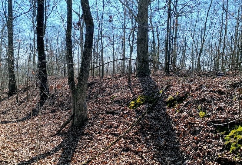
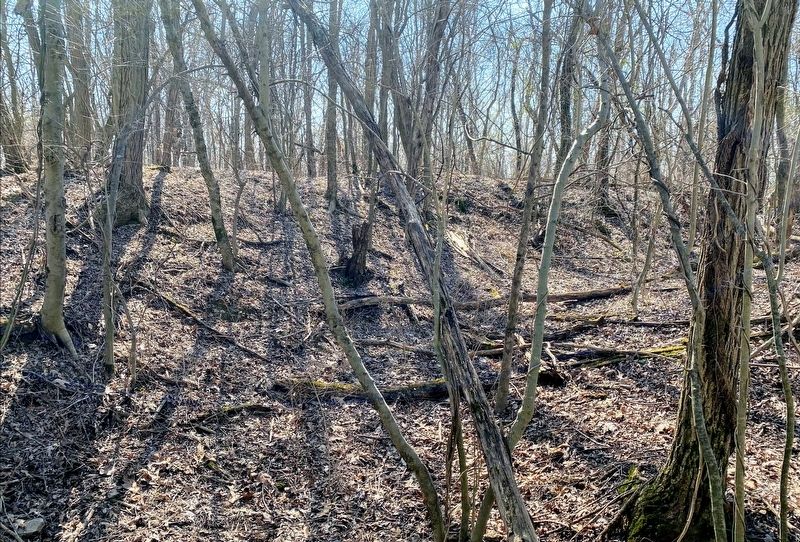
More about this marker. To visit the remains of the Federal Earthworks, take the trail behind the marker and into the forest. A few hundred yards up the trail, you will notice a well-preserved section of earthworks off to your left. This is
the Federal Fort. To see more of the fort, you will have to do some off-trail exploring.
Also see . . . Fort Donelson National Battlefield. National Park Service (Submitted on May 11, 2021.)
Credits. This page was last revised on May 11, 2021. It was originally submitted on May 10, 2021, by Shane Oliver of Richmond, Virginia. This page has been viewed 158 times since then and 9 times this year. Photos: 1, 2, 3, 4. submitted on May 10, 2021, by Shane Oliver of Richmond, Virginia. • Bernard Fisher was the editor who published this page.


