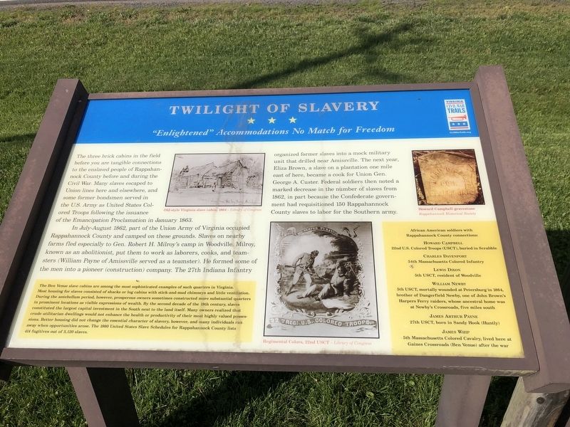
Twilight of Slavery
"Enlightened" Accommodations No Match for Freedom
The three brick cabins in the field before you are tangible connections to the enslaved people of Rappahannock County before and during the Civil War. Many slaves escaped to Union lines here and elsewhere, and some former bondsmen served in the U.S. Army as the United States Colored Troops following the issuance of the Emancipation Proclamation in January 1863.
In July-August 1862, part of the Union Army of Virginia occupied Rappahannock County and camped on these grounds. Slaves on nearby farms fled especially to Gen. Robert H. Milroy's camp in Woodville. Milroy, known as an abolitionist, put them to work as laborers, cooks, and teamsters (William Payne of Amissville served as a teamster). He formed some of the men into a pioneer (construction) company. The 27th Indiana Infantry organized former slave into a mock military unit that drilled near Amissville. The next year Eliza Brown, a slave on a plantation one mile east of here, became a cook for Union Gen. George A. Custer. Federal soldiers then noted a marked decrease in the number of slaves from 1862, in part because the Confederate government had requisitioned 150 Rappahannock County slaves to labor for the Southern army.
[Sidebar:]
The Ben Venue slave cabins are among the most sophisticated examples of such quarters in Virginia. Most housing
for slaves consisted of shacks or log cabins with stick-and-mud chimneys and little ventilation. During the antebellum period, however, prosperous owners sometimes constructed more substantial quarters in prominent locations as visible expressions of wealth. By the second decade of the 19th century, slaves constituted the largest capital investment in the South next to the land itself. Many owners realized that crude utilitarian dwellings would not enhance the health or productivity of their most highly valued possessions. Better housing did not change the essential character of slavery, however, and many individuals ran away when opportunities arose. The 1800 United States Slave Schedules for Rappahannock County lists 414 fugitives out of 3,120 slaves.
African American soldiers with Rappahannock County connections:
22nd U.S. Colored Troops (USCT), buried in Scrabble
Charles Davenport
54th Massachusetts Colored Infantry
Lewis Dixon
5th USCT, resident of Woodville
William Newby
5th USCT, mortally wounded at Petersburg in 1864, brother of Dangerfield Newby, one of John Brown's Harpers Ferry raiders, whose ancestral home was at Newby's Crossroads, five miles south
James Arthur Payne
27th USCT, born in Sandy Hook (Huntly)
James Whip
5th Massachusetts
Erected by Virginia Civil War Trails.
Topics and series. This historical marker is listed in these topic lists: Abolition & Underground RR • African Americans • Settlements & Settlers • War, US Civil. In addition, it is included in the Virginia Civil War Trails series list. A significant historical month for this entry is January 1863.
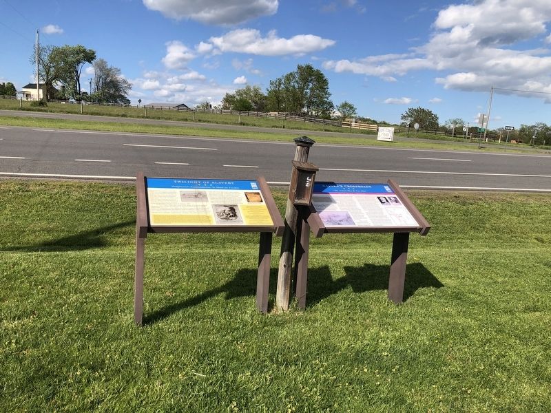
Location. 38° 43.145′ N, 78° 4.035′ W. Marker is near Amissville, Virginia, in Rappahannock County. Marker is on Lee Highway (U.S. 211) just west of Richmond Road (County Road 729), on the right when traveling east. Touch for map. Marker is at or near this postal address: 14048 Lee Hwy, Amissville VA 20106, United States of America. Touch for directions.
Other nearby markers. At least 8 other markers are within 5 miles of this marker, measured as the crow flies. Gaines's Crossroads (here, next to this marker); Albert Gallatin Willis (approx. 3.6 miles away); Flint Hill Baptist Church (approx. 3.6 miles away); Campaign of Second Manassas (approx. 4.1 miles away); Hinson's Ford (approx. 4.2 miles away); The Rappahannock Old Guard (approx. 4.3 miles away); Rappahannock People Before and During the Civil War (approx. 4.3 miles away); Rappahannock County in the Civil War (approx. 4.3 miles away). Touch for a list and map of all markers in Amissville.
Related marker. Click here for another marker that is related to this marker. This marker has replaced the linked marker which had slightly different content.
Credits. This page was last revised on May 10, 2021. It was originally submitted on May 10, 2021, by Devry Becker Jones of Washington, District of Columbia. This page has been viewed 281 times since then and 32 times this year. Photos: 1, 2. submitted on May 10, 2021, by Devry Becker Jones of Washington, District of Columbia.

