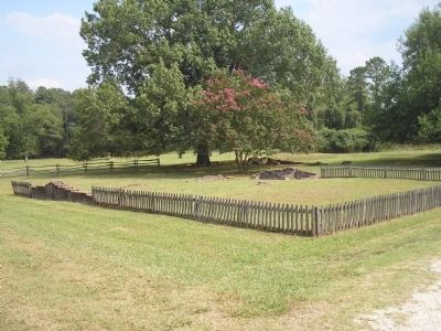
Near Williamsburg in James City County, Virginia — The American South (Mid-Atlantic)
May-Hartwell Site 1660-1699
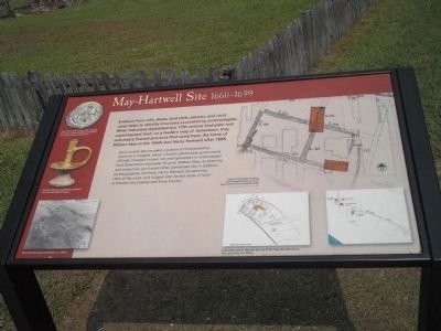
Land records also revealed a pattern of landownership common in Virginia. Many colonists, particularly government officials, invested in town lots and speculated in undeveloped land elsewhere in tidewater Virginia. William May, an attorney and vestryman, purchased other Jamestown lots in addition to this property. Similarly, Henry Hartwell, an attorney, clerk of the court, and burgess also owned tracts of land in Charles City County and Surry County.
Erected by Colonial National Historic Park.
Topics. This historical marker is listed in these topic lists: Colonial Era • Notable Buildings. A significant historical year for this entry is 1688.
Location. 37° 12.438′ N, 76° 46.45′ W. Marker is near Williamsburg, Virginia, in James City County. Marker can be reached from Colonial Parkway, on the right when traveling west. Marker is in the "New Towne" section of the Historic Jamestown unit of Colonial National Historic Park. Touch for map. Marker is in this post office area: Williamsburg VA 23185, United States of America. Touch for directions.
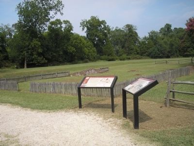
Other nearby markers. At least 8 other markers are within walking distance of this marker. A Remarkable Collection 1670-1700 (here, next to this marker); A Diverse Jamestown Household 1620-1640 (within shouting distance of this marker); An Upper-Class Neighborhood 1630s-1699 (within shouting distance of this marker); The Ambler House (within shouting distance of this marker); Jackson Home 1620s (within shouting distance of this marker); Fences and Livestock (about 300 feet away, measured in a direct line); Row Houses (about 400 feet away); Ditch and Mound (about 400 feet away). Touch for a list and map of all markers in Williamsburg.
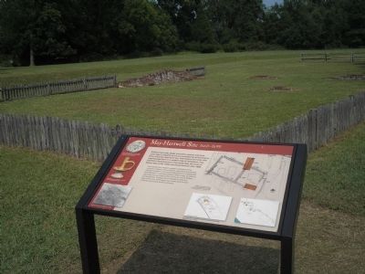
More about this marker. The upper right portion of the marker contains a “Map of Jamestown showing archaeological features of the May-Hartwell house (labeled S-86).” Below this is a map of “Land plats used to identify the site of the May-Hartwell house, later owned by Col. White.” The left side of the marker features photographs of the “May-Hartwell house excavations, ca. 1930s,” a “Sgraffito slipware candlestick excavated near the May-Hartwell house,” and a “Wine bottle sea stamped ‘HH,’ possibly belonging to Henry Hartwell, excavated at the May-Hartwell house site.”
Also see . . .
1. May-Hartwell Site 1660 - 1699. Colonial National Historic Park from National Park Service website. (Submitted on March 24, 2009, by Bill Coughlin of Woodland Park, New Jersey.)
2. Historic Jamestowne. Historic Jamestowne is the site of the first permanent English settlement in America. The site is jointly administered by APVA Preservation Virginia and the National Park Service. (Submitted on March 24, 2009, by Bill Coughlin of Woodland Park, New Jersey.)
Credits. This page was last revised on June 16, 2016. It was originally submitted on March 24, 2009, by Bill Coughlin of Woodland Park, New Jersey. This page has been viewed 1,148 times since then and 33 times this year. Photos: 1, 2, 3, 4, 5. submitted on March 24, 2009, by Bill Coughlin of Woodland Park, New Jersey.
