Manassas, Virginia — The American South (Mid-Atlantic)
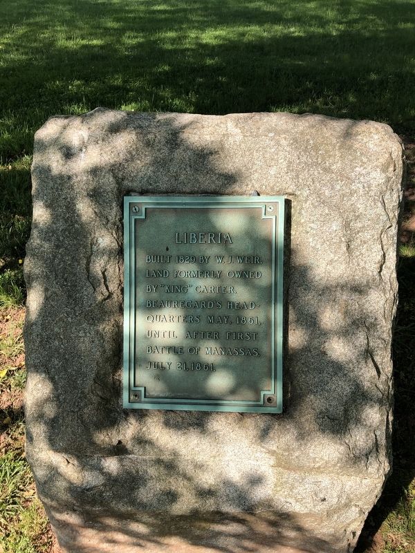
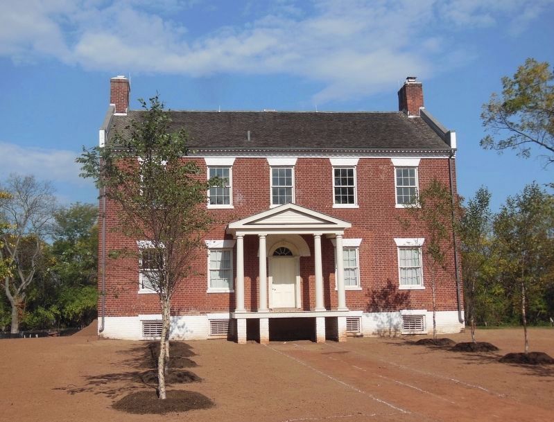
Liberia
Topics. This historical marker is listed in these topic lists: Settlements & Settlers • War, US Civil. A significant historical month for this entry is May 1861.
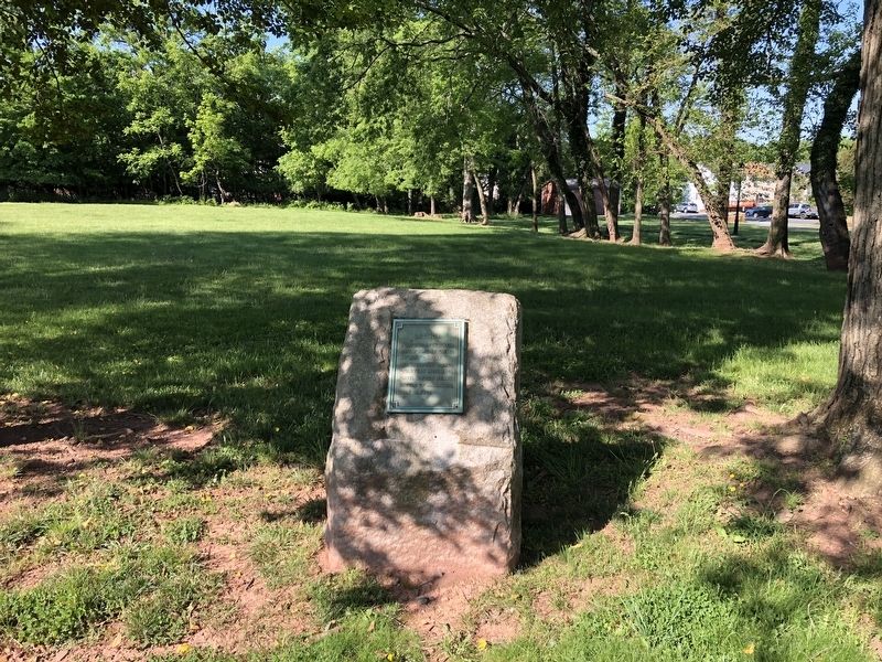
Location. 38° 45.999′ N, 77° 27.636′ W. Marker is in Manassas, Virginia. Marker is on Portner Avenue just south of Princeton Park Drive, on the left when traveling south. Touch for map. Marker is at or near this postal address: 8601 Portner Ave, Manassas VA 20110, United States of America. Touch for directions.
Other nearby markers. At least 8 other markers are within walking distance of this marker. Liberia and the Weirs (here, next to this marker); Turberville Memorial Garden (within shouting distance of this marker); a different marker also named Liberia (within shouting distance of this marker); Enslaved of Liberia (within shouting distance of this marker); Weir Family Cemetery (about 300 feet away, measured in a direct line); Manassas 1825 (about 700 feet away); Conner House (approx. 0.8 miles away); Battle of Bull Run Bridge (approx. 0.8 miles away). Touch for a list and map of all markers in Manassas.
Additional keywords. First Battle of Bull Run
Credits. This page was last revised on June 7, 2021. It was originally submitted on May 15, 2021, by Devry Becker Jones of Washington, District of Columbia. This page has been viewed 196 times since then and 16 times this year. Photos: 1, 2. submitted on May 15, 2021, by Devry Becker Jones of Washington, District of Columbia. 3. submitted on June 7, 2021, by Bradley Owen of Morgantown, West Virginia.


