Near Toomsuba in Lauderdale County, Mississippi — The American South (East South Central)
Old Pigford Cemetery
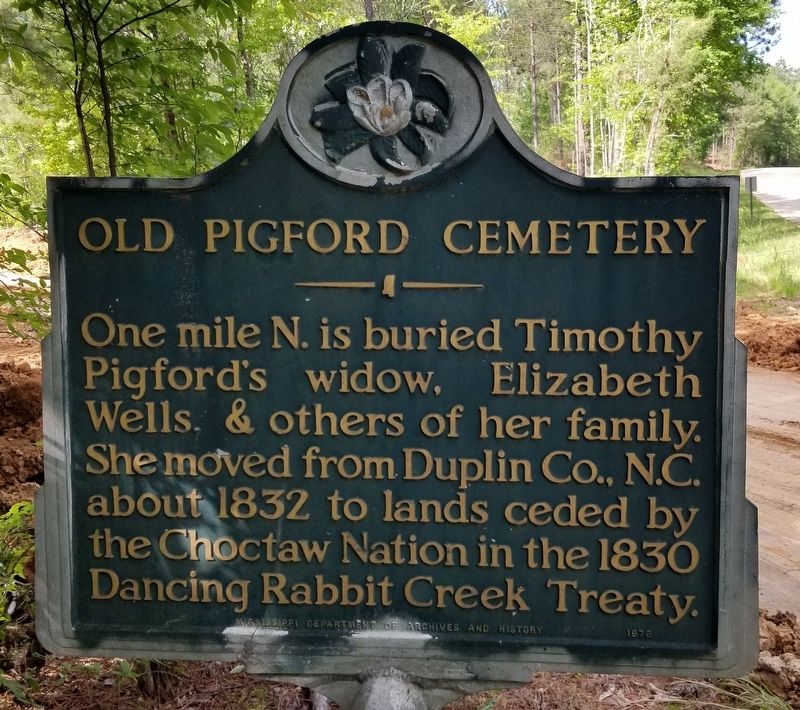
One mile N. is buried Timothy Pigford's widow, Elizabeth Wells, & others of her family. She moved from Duplin Co., N.C. about 1832 to lands ceded by the Choctaw Nation in the 1830 Dancing Rabbit Creek Treaty.
Erected 1976 by Mississippi Department of Archives and History.
Topics. This historical marker is listed in these topic lists: Cemeteries & Burial Sites • Native Americans • Settlements & Settlers. A significant historical year for this entry is 1832.
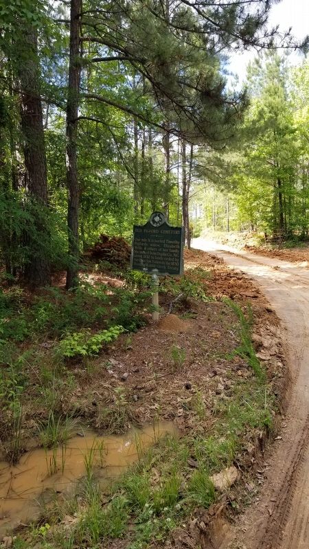
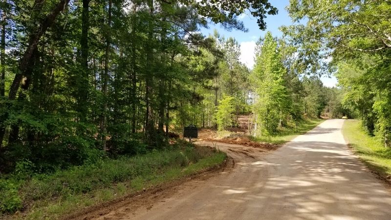
Location. 32° 23.183′ N, 88° 31.07′ W. Marker is near Toomsuba, Mississippi, in Lauderdale County. Marker is on KOA Campground Road, 1˝ miles west of Will Garrett Road, on the right when traveling west. The marker is located along the road at an intersection with a private road. Touch for map. Marker is at or near this postal address: 3658 KOA Campground Road, Meridian MS 39301, United States of America. Touch for directions.
Other nearby markers. At least 8 other markers are within 9 miles of this marker, measured as the crow flies. 31st Infantry Division Memorial Highway (approx. 2 miles away); Salem Baptist Church and Cemetery (approx. 5.2 miles away); Old Marion Cemetery (approx. 6 miles away); Bethany Baptist Church (approx. 7.2 miles away); Marion C.S.A. Cemetery (approx. 8.1 miles away); Jimmie Rodgers (approx. 8.4 miles away); Marion CSA Cemetery (approx. 8.6 miles away); Lauderdale Springs Confederate-Union Cemetery (approx. 8.7 miles away). Touch for a list and map of all markers in Toomsuba.
Credits. This page was last revised on May 16, 2021. It was originally submitted on May 16, 2021, by James Hulse of Medina, Texas. This page has been viewed 287 times since then and 34 times this year. Photos: 1, 2, 3. submitted on May 16, 2021, by James Hulse of Medina, Texas.


