Near Toomsuba in Lauderdale County, Mississippi — The American South (East South Central)
Salem Baptist Church and Cemetery
Photographed by James Hulse, May 14, 2021
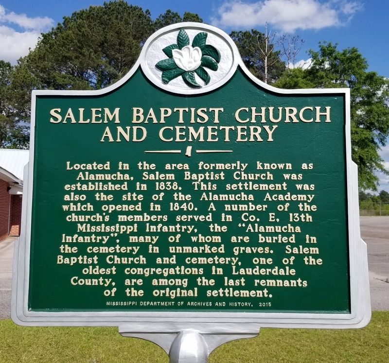
1. Salem Baptist Church and Cemetery Marker
Located in the area formerly known as Alamucha, Salem Baptist Church was established in 1838. This settlement was also the site of the Alamucha Academy which opened in 1840. A number of the church's members served in Co. E, 13th Mississippi Infantry, the "Alamucha Infantry", many of whom are buried in the cemetery in unmarked graves. Salem Baptist Church and cemetery, one of the oldest congregations in Lauderdale County, are among the last remnants of the original settlement.
Erected 2015 by Mississippi Department of Archives and History.
Topics. This historical marker is listed in these topic lists: Cemeteries & Burial Sites • Religion & Religious Structures • Settlements & Settlers • War, US Civil. A significant historical year for this entry is 1838.
Location. 32° 22.628′ N, 88° 25.813′ W. Marker is near Toomsuba, Mississippi, in Lauderdale County. It is at the intersection of Kewanee Road and Salem Church Road, on the right when traveling north on Kewanee Road. The marker is located in front of the church. Touch for map. Marker is at or near this postal address: 497 Kewanee Road, Toomsuba MS 39364,
this page online

Regionally, this marker is in East Mississippi. It is also in the American South and specifically in the Deep South. Globally, it is in North America, a Gulf of Mexico state, the Western Hemisphere, the Western World, and the Anglosphere. Historically, it finds itself in what was once the territory of the Mississippian Culture, one of the Confederate States of America, and the Antebellum South.
Other nearby markers. At least 8 other markers are within 11 miles of this marker, measured as the crow flies: Old Pigford Cemetery (approx. 5.2 miles away); The De Soto Trail (approx. 5.4 miles away in Alabama); Hernando De Soto In Alabama (approx. 5.4 miles away in Alabama); 31st Infantry Division Memorial Highway (approx. 6½ miles away); Bethany Baptist Church (approx. 6.9 miles away); To the Patriots of Ward and Nearby Communities (approx. 8.9 miles away in Alabama); Lauderdale Springs Confederate-Union Cemetery (approx. 9.9 miles away); History of York / The Coleman Center (approx. 10.8 miles away in Alabama). Touch for a list and map of all markers in Toomsuba.
Photographed by James Hulse, May 14, 2021
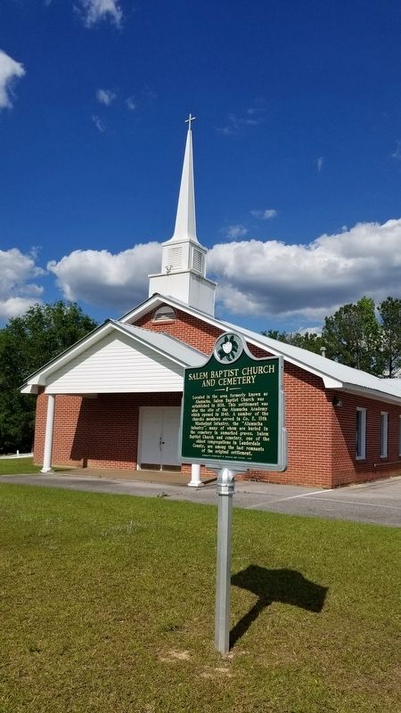
2. Salem Baptist Church and Marker
Photographed by James Hulse, May 14, 2021
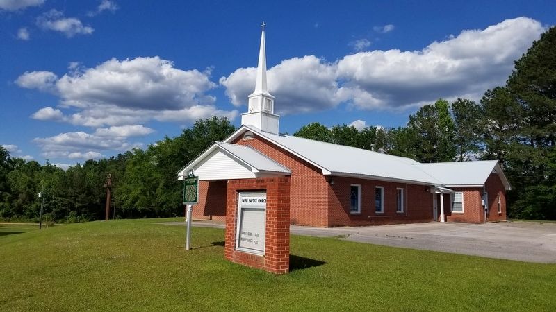
3. The view of the Salem Baptist Church from the road
Photographed by James Hulse, May 14, 2021
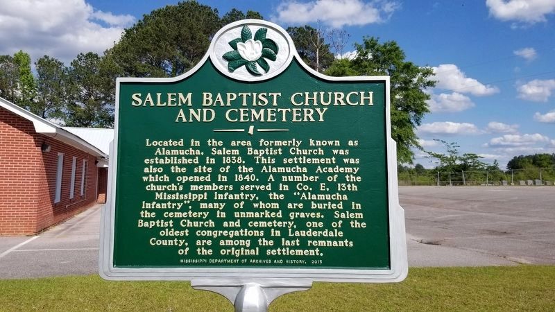
4. The Cemetery can be seen on the right side of the photo and toward the south of the church
Credits. This page was last revised on May 16, 2021. It was originally submitted on May 16, 2021, by James Hulse of Medina, Texas. This page has been viewed 1,440 times since then and 84 times this year. Photos: 1, 2, 3, 4. submitted on May 16, 2021, by James Hulse of Medina, Texas.
