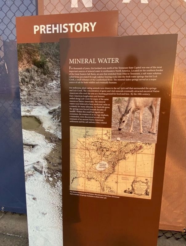
Mineral Water
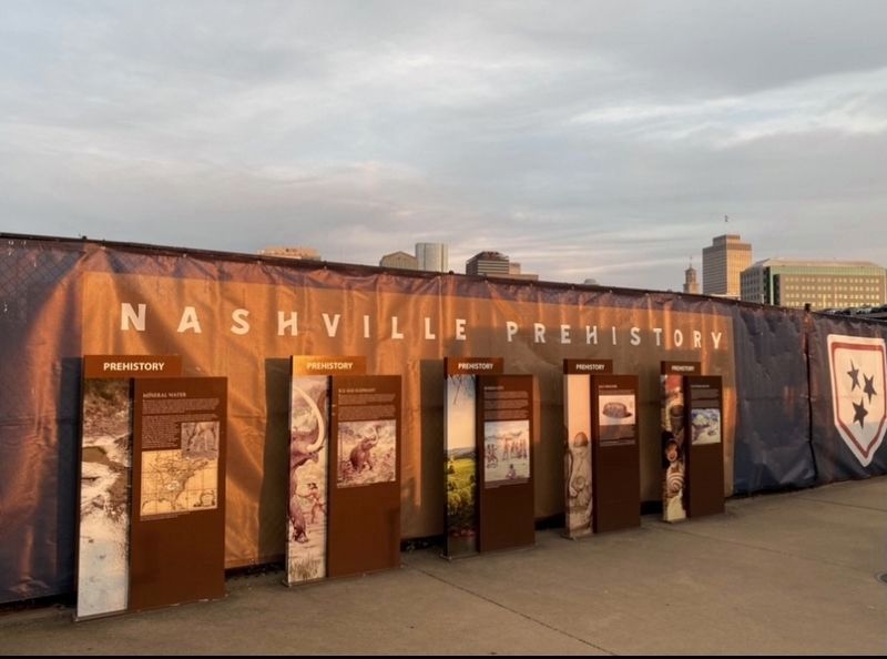
Prehistory
For thousands of years, this lowland area north of the Tennessee State Capitol was one of the most important sources of mineral water in southeastern North America. Located on the southern border of the Great Eastern Salt Basin, an area that stretched from Ohio to Tennessee, a salt water solution called brine percolated through sulphur-bearing rocks into the fresh water springs that fed Lick Creek, a small tributary of the Cumberland River. The mineral-laden springs served as a major source of salt for both wildlife and eventually humans.
For millennia, plant-eating animals were drawn to the salt rich soil that surrounded the springs and Lick Creek. The concentration of game and vital minerals eventually attracted ancestral Native Americans who used the area as a hunting ground for food and furs. By the 18th century. Euro-American longhunters and farmers settled along Lick Creek for many of the same reasons as Native Americans. The mineral waters were believed to have medicinal value as a remedy for many ailments. As Nashville grew, the springs were buried beneath decades of landfill. Within this small but significant ecosystem, the remains of an Ice Age elephant, a mastodon, were discovered as well as the
remnants of an ancient Native American settlement and the salt industry they created.
Topics. This historical marker is
Location. 36° 10.35′ N, 86° 47.029′ W. Marker is in Nashville, Tennessee, in Davidson County. It is in North Capitol. Marker can be reached from 4th Avenue North, 0.1 miles north of Harrison Street, on the right when traveling north. Touch for map. Marker is at or near this postal address: 916 4th Ave N, Nashville TN 37219, United States of America. Touch for directions.
Other nearby markers. At least 8 other markers are within walking distance of this marker. Salt Industry (here, next to this marker); Platform Mound (here, next to this marker); Buried City (here, next to this marker); Ice Age Elephant (a few steps from this marker); End of an Era (about 400 feet away, measured in a direct line); Baseball Returns (about 400 feet away); The Nashville Vols (about 400 feet away); The Negro Leagues (about 400 feet away). Touch for a list and map of all markers in Nashville.
Credits. This page was last revised on February 7, 2023. It was originally submitted on May 24, 2021, by Darren Jefferson Clay of Duluth, Georgia. This page has been viewed 130 times since then and 10 times this year. Photos: 1, 2. submitted on May 24, 2021, by Darren Jefferson Clay of Duluth, Georgia. • Devry Becker Jones was the editor who published this page.

