Grand Canyon National Park in Coconino County, Arizona — The American Mountains (Southwest)
Kaibab Trail Suspension Bridge
National Historic Civil Engineering Landmark
| — | Black Bridge | — |
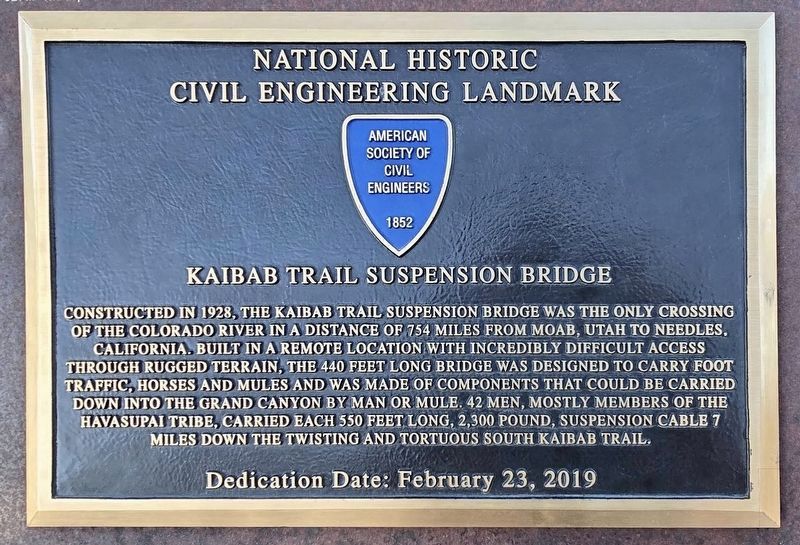
Photographed by Craig Baker
1. Kaibab Trail Suspension Bridge Marker
Erected 2019 by American Society of Civil Engineers.
Topics and series. This historical marker is listed in these topic lists: Bridges & Viaducts • Indigenous Peoples and Communities • Roads & Vehicles. In addition, it is included in the ASCE Civil Engineering Landmarks series list. A significant historical year for this entry is 1928.
Location. 36° 3.96′ N, 112° 7.021′ W. Marker is in Grand Canyon National Park, Arizona, in Coconino County. It is on Rim Trail north of Yavapai Point, on the right when traveling west. Touch for map.
this page online

Regionally, this marker is in Flagstaff & High Country and in Hopi. It is also in the American Southwest, in the Mountain West, on the Colorado Plateau, and at the Four Corners. Globally, it is in North America, the Western Hemisphere, the Western World, and the Anglosphere. Historically, it finds itself in what was once New Spain and also Mexico’s Alta California.
Other nearby markers. At least 8 other markers are within 2 miles of this marker, measured as the crow flies: How's the View? (within shouting distance of this marker); The Mighty Colorado? (within shouting distance of this marker); Stephen Tyng Mather (approx. 0.6 miles away); Two People. Two Parties. One Message (approx. 0.7 miles away); Verkamp's Curios Store (approx. 1.2 miles away); Grand Canyon Village (approx. 1.2 miles away); Building One (approx. 1.2 miles away); Hopi House (approx. 1.2 miles away). Touch for a list and map of all markers in Grand Canyon National Park.
Another marker is no longer nearby. Verkamp's Curios
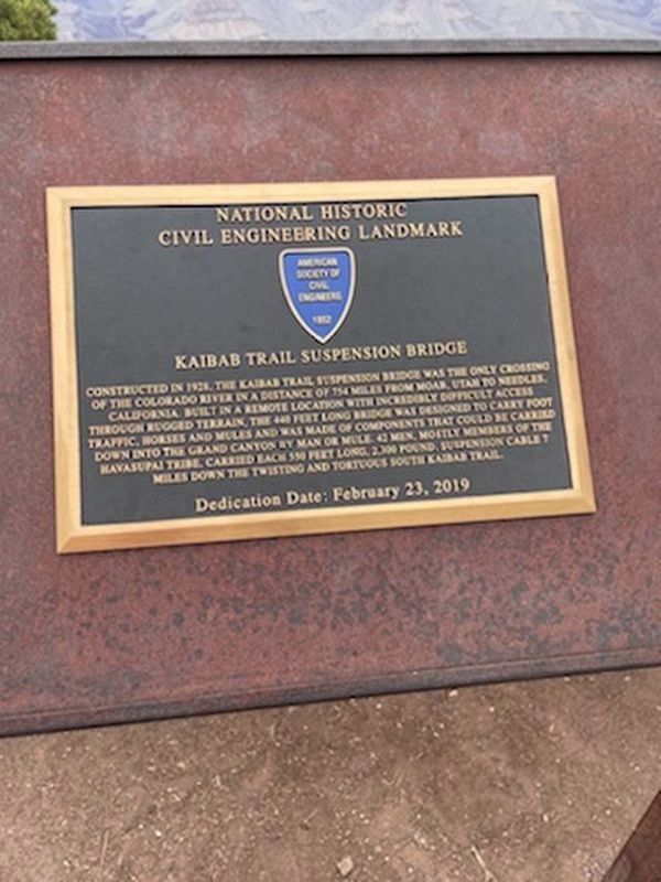
Photographed by Desi Becker, May 26, 2021
2. Kaibab Trail Suspension Bridge Marker
Additional keywords. Black Bridge
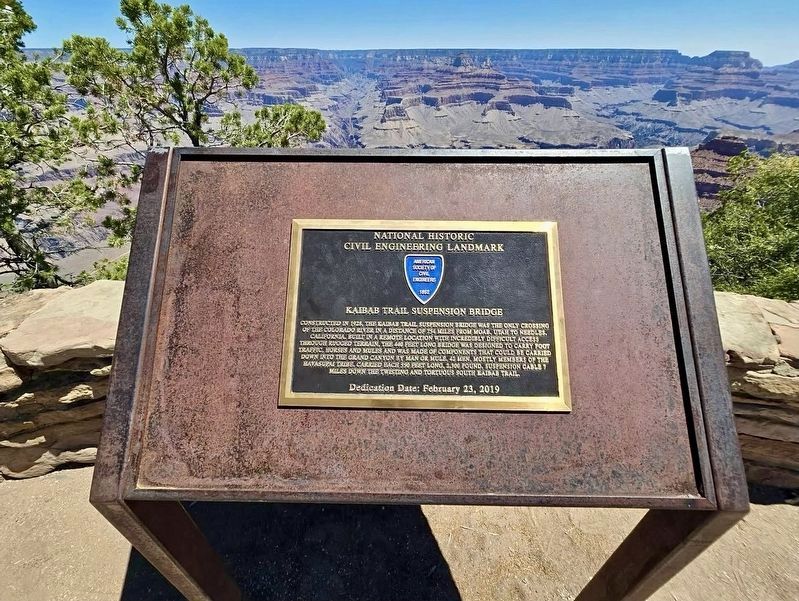
Photographed by Craig Baker
3. Kaibab Trail Suspension Bridge Marker
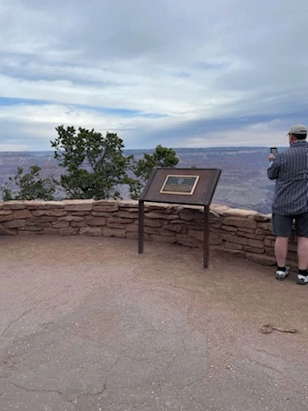
Photographed by Desi Becker, May 26, 2021
4. Kaibab Trail Suspension Bridge Marker
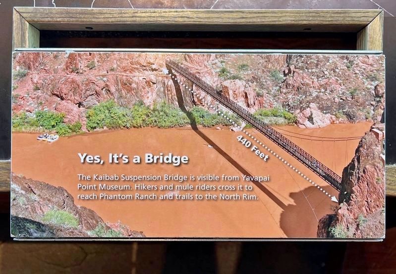
Photographed by Craig Baker
5. Kaibab Trail Suspension Bridge
This display is inside the museum. The bridge is visible from the museum.
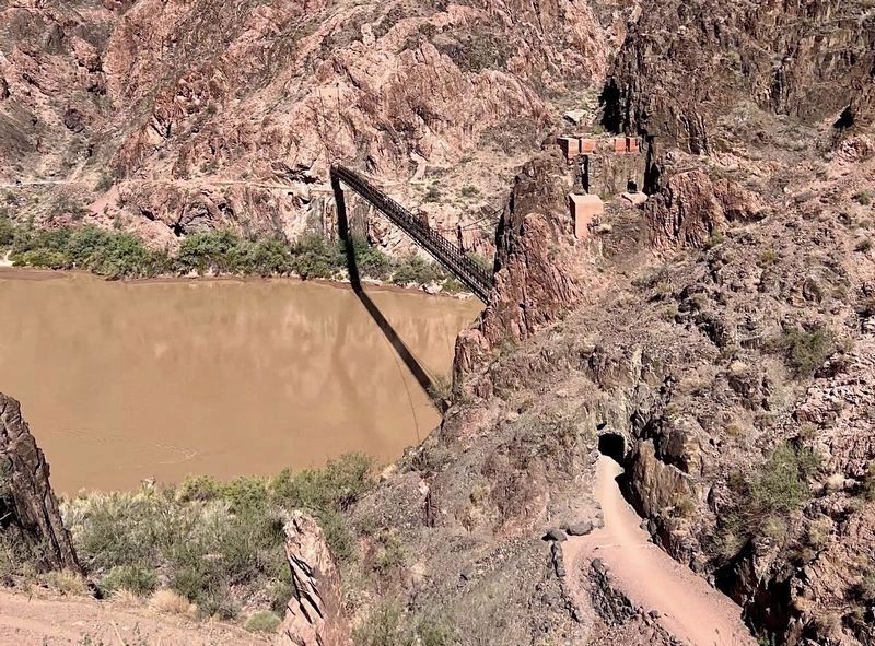
Photographed by Craig Baker
6. Kaibab Trail Suspension Bridge
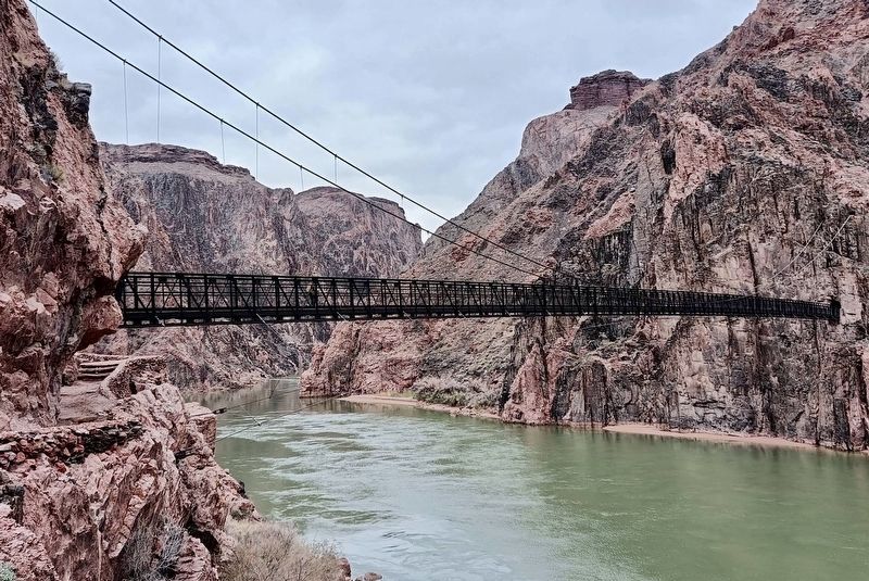
Photographed by Craig Baker
7. Kaibab Trail Suspension Bridge
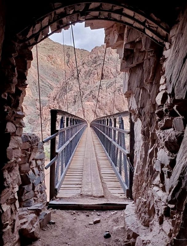
Photographed by Craig Baker
8. Kaibab Trail Suspension Bridge
Credits. This page was last revised on September 11, 2026. It was originally submitted on May 26, 2021. This page has been viewed 614 times since then and 61 times this year. Photos: 1. submitted on September 11, 2026, by Craig Baker of Sylmar, California. 2. submitted on May 26, 2021, by Desi Becker of Brentwood, Missouri. 3. submitted on September 11, 2026, by Craig Baker of Sylmar, California. 4. submitted on May 26, 2021, by Desi Becker of Brentwood, Missouri. 5, 6, 7, 8. submitted on September 11, 2026, by Craig Baker of Sylmar, California. • Devry Becker Jones was the editor who published this page.
