Near Harrison in Sioux County, Nebraska — The American Midwest (Upper Plains)
Yellow Hand Monument
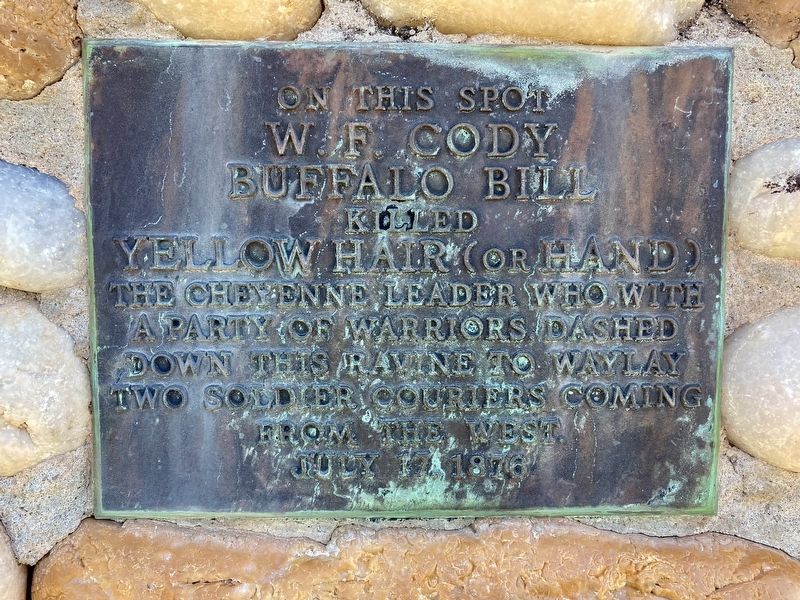
Photographed by Connor Olson, May 25, 2021
1. Yellow Hand Monument
W.F. Cody
Buffalo Bill
killed
Yellow Hair (or Hand)
The Cheyenne Leader who, with
a party of warriors, dashed
down this ravine to waylay
two soldier couriers coming
from the west
July 17, 1876
Topics. This monument and memorial is listed in these topic lists: Indigenous Peoples and Communities • Wars, US Indian. A significant historical date for this entry is July 17, 1876.
Location. 42° 55.402′ N, 103° 43.667′ W. Monument is near Harrison, Nebraska, in Sioux County. It can be reached from the intersection of Montrose Road and Hat Creek Road, on the left when traveling east. Touch for map. Monument is in this post office area: Harrison NE 69346, United States of America. Touch for directions.

Regionally, this memorial monument is in the Nebraska Panhandle. It is also in the American Midwest, in the Corn Belt, on the prairies, on the Great Plains, on the Northern Plains, and specifically on the High Plains. Globally, it is in North America, the Western Hemisphere, the Western World, and the Anglosphere. Historically, it finds itself in what was once the Louisiana Purchase.
Other nearby markers. At
this page online
Also see . . . Battle of Warbonnet Creek. (Submitted on May 26, 2021, by Connor Olson of Menomonee Falls, Wisconsin.)
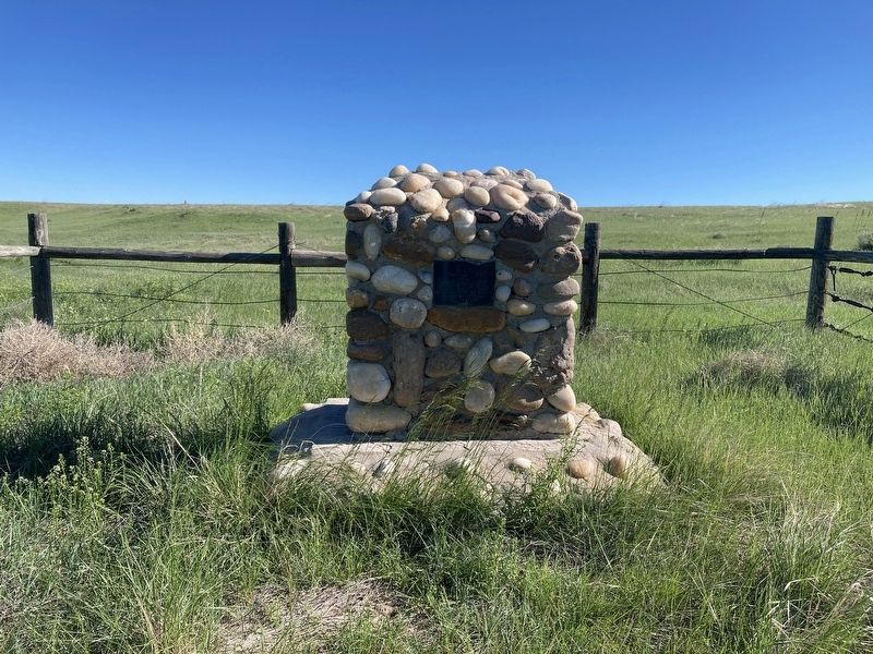
Photographed by Connor Olson, May 25, 2021
2. Yellow Hand Monument
Credits. This page was last revised on May 30, 2021. It was originally submitted on May 26, 2021, by Connor Olson of Menomonee Falls, Wisconsin. This page has been viewed 1,104 times since then and 136 times this year. Photos: 1, 2. submitted on May 26, 2021, by Connor Olson of Menomonee Falls, Wisconsin. • Devry Becker Jones was the editor who published this page.
