Near Beulah in Bolivar County, Mississippi — The American South (East South Central)
Christmas Mound
— Mississippi Mound Trail —
Inscription.
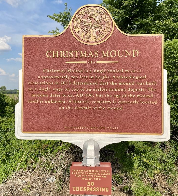
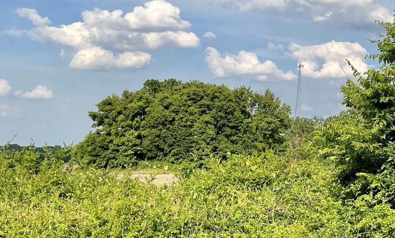
Christmas Mound is a single conical mound approximately ten feet in height. Archaeological excavations in 2013 determined that the mound was built in a single stage on top of an earlier midden deposit. The midden dates to ca. AD 400, but the age of the mound itself is unknown. A historic cemetery is currently located on the summit of the mound.
Erected by the Mississippi Department of Archives and History.
Topics and series. This historical marker is listed in these topic lists: Anthropology & Archaeology • Cemeteries & Burial Sites • Native Americans. In addition, it is included in the Mississippi Mound Trail series list. A significant historical year for this entry is 2013.
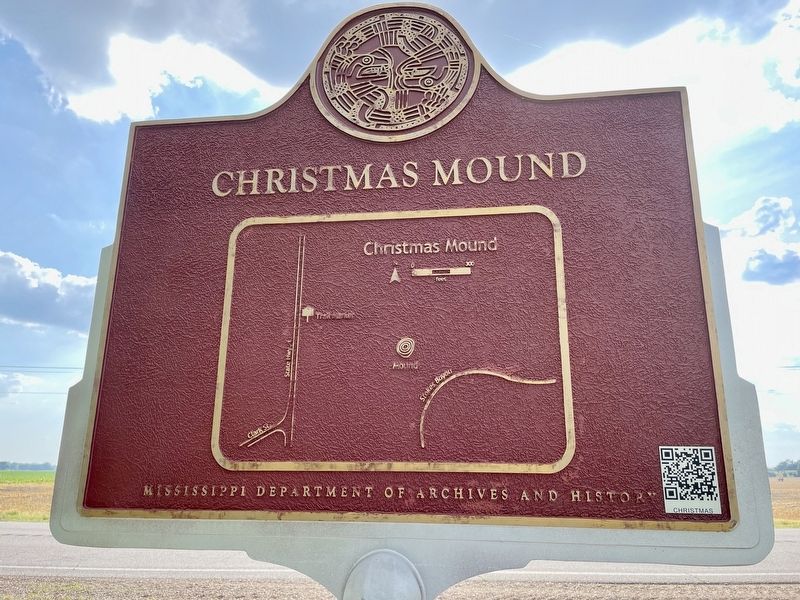
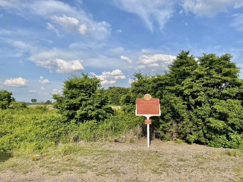
Location. 33° 46.171′ N, 90° 58.842′ W. Marker is near Beulah, Mississippi, in Bolivar County. Marker is on Mississippi Route 1 north of Clark Place, on the right when traveling north. Touch for map. Marker is in this post office area: Beulah MS 38726, United States of America. Touch for directions.
Other nearby markers. At least 8 other markers are within 9 miles of this marker, measured as the crow flies. Mildrette Netter (approx. 6 miles away); Hot Tamales and the Blues (approx. 6.3 miles away); Rosedale Courthouse (approx. 6.4 miles away); To Memorialize Bolivar County's First Two Brick Courthouses (approx. 6.4 miles away); Rosedale (approx. 6.4 miles away); Grace Episcopal Church (approx. 6.6 miles away); Eddie Shaw (approx. 8.3 miles away); Eddie Taylor (approx. 8.3 miles away).
Also see . . . Mississippi Mound Trail. Mississippi Historical markers website entry (Submitted on October 18, 2023, by Mark Hilton of Montgomery, Alabama.)
Credits. This page was last revised on April 13, 2024. It was originally submitted on May 27, 2021, by Mark Hilton of Montgomery, Alabama. This page has been viewed 271 times since then and 33 times this year. Photos: 1, 2, 3, 4. submitted on May 27, 2021, by Mark Hilton of Montgomery, Alabama.


