Pewee Valley in Oldham County, Kentucky — The American South (East South Central)
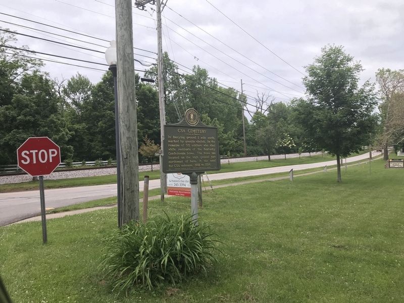
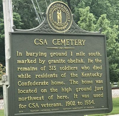
CSA Cemetery
Photographed By Duane and Tracy Marsteller, May 29, 2021
1. CSA Cemetery Marker
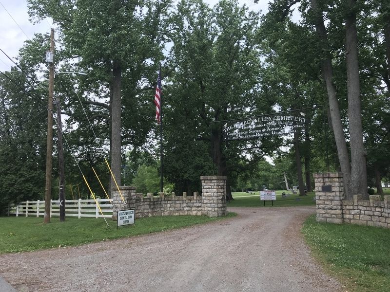
Pewee Valley Confederate Cemetery
National Register of Historic Places Registration Form
Click for more information.
National Register of Historic Places Registration Form
Click for more information.
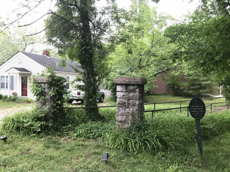
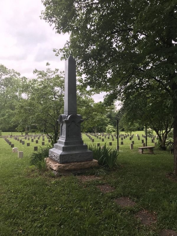
In burying ground 1 mile south, marked by granite obelisk, lie the remains of 313 soldiers who died while residents of the Kentucky Confederate home. The home was located on the high ground just northwest of here. It was used for CSA veterans, 1902 to 1934.
Erected 2010 by Kentucky Historical Society and Kentucky Department of Highways. (Marker Number 182.)
Topics and series. This historical marker is listed in these topic lists: Cemeteries & Burial Sites • War, US Civil. In addition, it is included in the Kentucky Historical Society series list. A significant historical year for this entry is 1902.
Location. 38° 18.755′ N, 85° 29.163′ W. Marker is in Pewee Valley, Kentucky, in Oldham County. Marker is at the intersection of La Grange Road (Kentucky Route 146) and Maple Avenue, on the right when traveling east on La Grange Road. Touch for map. Marker is in this post office area: Pewee Valley KY 40056, United States of America. Touch for directions.
Other nearby markers. At least 8 other markers are within 4 miles of this marker, measured as the crow flies. Pewee Valley (approx. ¼ mile away); Annie Fellows Johnston (approx. 0.3 miles away); Confederate Home Cemetery (approx. 0.8 miles away); History of the Maples Park (approx. 0.9 miles away); Farming Community Around The Maples Park (approx. 0.9 miles away); Isaac Hite's Home / Isaac Hite (approx. 3.2 miles away); Richard James Oglesby (approx. 3.2 miles away); Berrytown Cemetery (approx. 3.6 miles away). Touch for a list and map of all markers in Pewee Valley.
Also see . . . Confederate Burying Ground - Pewee Valley Cemetery. Pewee Valley Historical Society website entry (Submitted on June 2, 2021, by Duane and Tracy Marsteller of Murfreesboro, Tennessee.)
Photographed By Duane and Tracy Marsteller, May 29, 2021
4. Confederate Memorial
National Register of Historic Places registration Form
Click for more information.
Click for more information.
Credits. This page was last revised on January 9, 2022. It was originally submitted on June 2, 2021, by Duane and Tracy Marsteller of Murfreesboro, Tennessee. This page has been viewed 117 times since then and 13 times this year. Photos: 1, 2, 3, 4, 5. submitted on June 2, 2021, by Duane and Tracy Marsteller of Murfreesboro, Tennessee.
