Nordheim in DeWitt County, Texas — The American South (West South Central)
Pilot Knob
(Elevation: 447 Feet Above Sea Level)
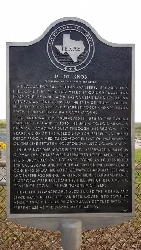
A beacon for early Texas pioneers. Because this hill could be seen for miles, it guided travelers from Old Indianola (on the coast) inland to Helena and San Antonio during the 19th century. On the hill, they discovered charred rocks and artifacts from a previous Indian camp ground.
The area was first surveyed in 1838 by the Goliad Land District and in 1886 the San Antonio & Aransas Pass railroad was built through this region. For years a sign at the Weldon Switch (present Nordheim) depot proclaimed its 400-foot elevation was highest on the line between Houston, San Antonio, and Waco.
In 1895 Nordheim was platted. Afterward numerous German immigrants were attracted to the area. Under the sturdy oaks on Pilot Knob, young and old enjoyed typical German and pioneer activities, including band concerts, shooting matches, harvest and May festivals, and Easter Egg hunts. A refreshment stand and dance platform were built on the hill, which became the center of social life for Nordheim citizens.
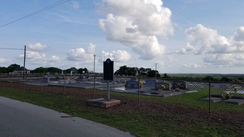
Here the townspeople also buried their dead, and since most activities had been moved into town by about 1910, Pilot Knob gradually settled into its present use as the community cemetery.
Erected 1968 by State Historical Survey Committee. (Marker Number 4020.)
Topics. This historical marker is listed in these topic lists: Cemeteries & Burial Sites • Native Americans • Parks & Recreational Areas • Settlements & Settlers. A significant historical year for this entry is 1838.
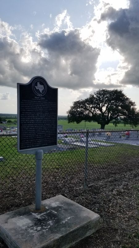
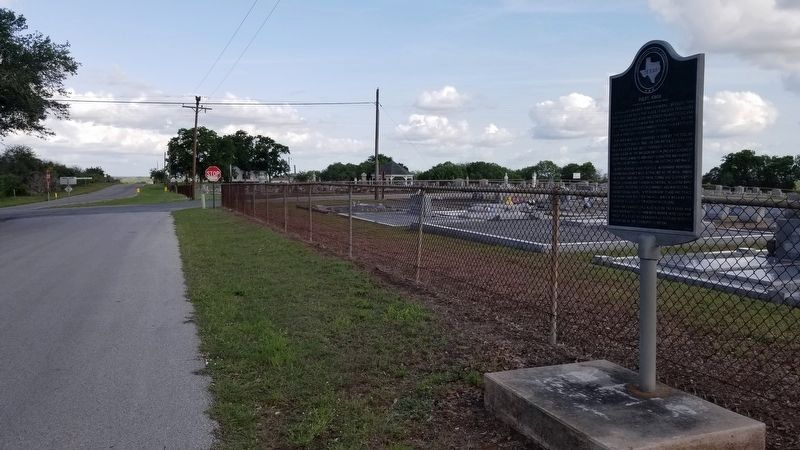
Location. 28° 54.979′ N, 97° 36.516′ W. Marker is in Nordheim, Texas, in DeWitt County. Marker is at the intersection of Nordheim Cemetery Road (County Highway 328) and County Highway 329, on the right when traveling south on Nordheim Cemetery Road. The marker is located in the northeast section of the cemetery along the road. Touch for map. Marker is in this post office area: Nordheim TX 78141, United States of America. Touch for directions.
Other nearby markers. At least 8 other markers are within 7 miles of this marker, measured as the crow flies. Jubilee Park Pavilion (approx. 0.6 miles away); Nordheim Shooting Club (approx. 0.9 miles away); Sociedad Cementerio Union Mexicana Cemetery (approx. 1.8 miles away); Cabeza (approx. 5.6 miles away); Lithuanians in Texas (approx. 6.7 miles away); Runge, Texas (approx. 6.7 miles away); Veterans of Foreign Wars Memorial (approx. 6.7 miles away); Runge Bandstand (approx. 6.7 miles away). Touch for a list and map of all markers in Nordheim.
Credits. This page was last revised on June 2, 2021. It was originally submitted on June 2, 2021, by James Hulse of Medina, Texas. This page has been viewed 229 times since then and 30 times this year. Photos: 1, 2, 3, 4. submitted on June 2, 2021, by James Hulse of Medina, Texas.


