Downtown Springfield in Greene County, Missouri — The American Midwest (Upper Plains)
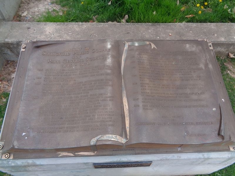
History of Springfield Public Square
Now Park Central Square
— 1835-1970 —
1835 - John Polk Campbell plans Green County seat and donates 50 acres of land for townsite, including 2 acres for Public Square.
1836 - First courthouse, of two story red brick, built in center of square.
1858 - Butterfield Overland Mail stagecoaches stop at station on northeast corner of square. Construction is underway on new courthouse on northwest corner at College Street. Town well dug for public use.
1861 - Union troops under Col. Frank Sigel march into square, June 24. Military command increases under Union Gen. Nathaniel Lyon, who loses his life at Battle of Wilson's Creek, Aug. 10. Confederates under Gen. Sterling Price have brief control. Original (1836) courthouse in center of square burns during raid, Oct. 25, led by Maj. Charles Zagonyi, at head of bodyguard of Gen. John C. Fremont. Union Army of 30,000 withdraws when Fremont loses command, Nov. 3.
1862 - Union army again occupies Springfield, with new courthouse in use for military purposes.
1863 - Battle of Springfield Jan. 8, moves close to Public Square before on-coming Confederates are repulsed.
1865 - Wild Bill Hickok kills Dave Tutt in gun duel concerning poker debt and Hickok's watch
1871 - Wooden bell tower with speaker's platform is built in square and stands until 1882.
1883- Union and Confederate veterans of Wilson's Creek dedicate monument to Gen. Lyon, which is removed in 1884 to National Cemetery.
1896 - Gottfried Tower, with Statue of Liberty and electric illumination is erected and stands until 1908.
1910 - Courthouse on square sold as construction gets underway on new building at Boonville and Central.
1911 - Round concrete slab, known as "the pie" circled by trolley tracks, centers square.
1947 - The pie is removed, permitting cross-square traffic.
1970 - Park Central Square is dedicated as Pedestrian Plaza.
Erected 1972 by University Club of Springfield, Missouri. (Marker Number 21.)
Topics. This historical marker is listed in these topic lists: Communications • Parks & Recreational Areas • Railroads & Streetcars • War, US Civil. A significant historical date for this entry is June 24, 1835.
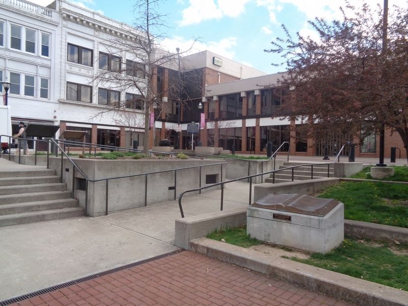
Location. 37° 12.528′ N, 93° 17.527′ W. Marker is in Springfield, Missouri, in Greene County. It is in Downtown Springfield. Marker can be reached from Park Central Square west of E St. Louis Street. Marker is located at Park Central Square in downtown Springfield. Touch for map. Marker is at or near this postal address: 118122 Park Central Square, Springfield MO 65806, United States of America. Touch for directions.
Other nearby markers. At least 8 other markers are within walking distance of this marker. Three Black Men Lynched (here, next to this marker);
Battle of Springfield (a few steps from this marker); a different marker also named Battle of Springfield (a few steps from this marker); Lynching in America / The Lynchings of Horace B. Duncan, Fred Coker and William Allen (within shouting distance of this marker); 1971 Tumbler (within shouting distance of this marker); Wild Bill's Shootout (within shouting distance of this marker); Dedicated to the Loving Memory of Dr. R. Fred Schweitzer (within shouting distance of this marker); Butterfield Overland Stage (about 300 feet away, measured in a direct line). Touch for a list and map of all markers in Springfield.
Credits. This page was last revised on February 16, 2023. It was originally submitted on June 2, 2021, by Jason Voigt of Glen Carbon, Illinois. This page has been viewed 202 times since then and 50 times this year. Photos: 1, 2. submitted on June 2, 2021, by Jason Voigt of Glen Carbon, Illinois.

