Westport in Oldham County, Kentucky — The American South (East South Central)
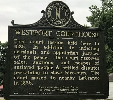
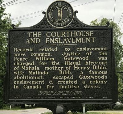
Westport Courthouse / The Courthouse and Enslavement
and Oldham County Historical Society
Erected 2019 by Kentucky Historical Society and Kentucky Department of Highways. (Marker Number 2594.)
Topics and series. This historical marker is listed in these topic lists: Abolition & Underground RR • African Americans • Law Enforcement. In addition, it is included in the Kentucky Historical Society series list. A significant historical year for this entry is 1828.
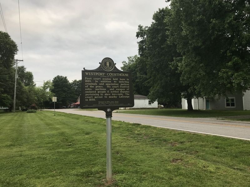
Location. 38° 28.719′ N, 85° 28.485′ W. Marker is in Westport, Kentucky, in Oldham County . Marker is on Westport Road (Kentucky Route 524) west of 4th Street, on the right when traveling west. Touch for map. Marker is at or near this postal address: 6901 KY-524, Westport KY 40077, United States of America. Touch for directions.
Other nearby markers. At least 8 other markers are within 7 miles of this marker, measured as the crow flies. Westport (within shouting distance of this marker); Woodland Farm (approx. 1.4 miles away); Lagrange Training School / Rosenwald Schools (approx. 6.8 miles away); McCarty and Ricketts Funeral Home (approx. 7 miles away); Oldham County History Center (approx. 7.1 miles away); Oldham County, 1824 (approx. 7.1 miles away); a different marker also named Oldham County History Center (approx. 7.1 miles away); a different marker also named Oldham County History Center (approx. 7.1 miles away).
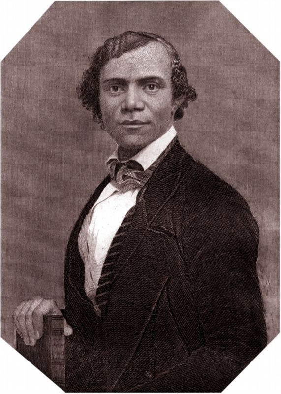
Also see . . . Bibb, Henry Walton. From the Dictionary of Canadian Biography. (Submitted on June 3, 2021, by Duane and Tracy Marsteller of Murfreesboro, Tennessee.)
Credits. This page was last revised on June 3, 2021. It was originally submitted on June 3, 2021, by Duane and Tracy Marsteller of Murfreesboro, Tennessee. This page has been viewed 161 times since then and 13 times this year. Photos: 1, 2, 3, 4. submitted on June 3, 2021, by Duane and Tracy Marsteller of Murfreesboro, Tennessee.


