Coloma in El Dorado County, California — The American West (Pacific Coastal)
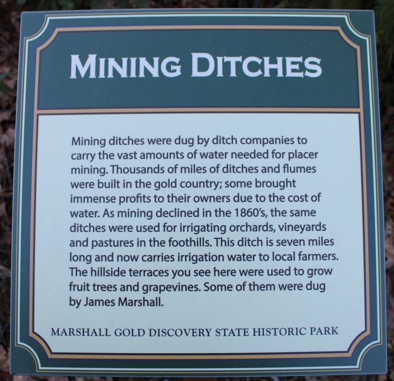
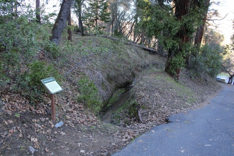
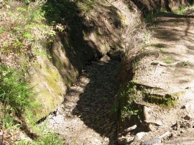
Mining Ditches
Erected by Marshall Gold Discovery State Historic Park.
Topics. This historical marker is listed in these topic lists: Agriculture • Bridges & Viaducts • Industry & Commerce • Waterways & Vessels.
Location. 38° 47.839′ N, 120° 53.564′ W. Marker is in Coloma, California, in El Dorado County. Marker is on Marshall Parkway, on the left when traveling north. This section of Marshall Parkway is a one-way narrow road and, by car, may only be accessed from the James Marshall Monument Parking Area. Touch for map. Marker is in this post office area: Coloma CA 95613, United States of America. Touch for directions.
Other nearby markers. At least 8 other markers are within walking distance of this marker. Saint John's Church (a few steps from this marker); Cabin of James Marshall (a few steps from this marker); Marshall's Cabin (within shouting distance of this marker); Saint John’s Cemetery (within shouting distance of this marker); James W. Marshall (about 500 feet away, measured in a direct line); 200th Anniversary of James W. Marshall's Birth (about 500 feet away); Emmanuel Church (about 500 feet away); Fate Picks Marshall (about 600 feet away). Touch for a list and map of all markers in Coloma.
More about this marker. Marker is located next to the Marshall Cabin within the boundaries of the Marshall Gold Discovery State Historic Park.
Additional keywords. Gold Rush
Credits. This page was last revised on January 23, 2023. It was originally submitted on March 30, 2009, by Syd Whittle of Mesa, Arizona. This page has been viewed 1,885 times since then and 56 times this year. Photos: 1. submitted on January 23, 2023, by Joseph Alvarado of Livermore, California. 2. submitted on March 30, 2009, by Syd Whittle of Mesa, Arizona. 3. submitted on January 23, 2023, by Joseph Alvarado of Livermore, California. 4, 5. submitted on March 30, 2009, by Syd Whittle of Mesa, Arizona.
