Manassas, Virginia — The American South (Mid-Atlantic)
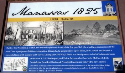
Manassas 1825
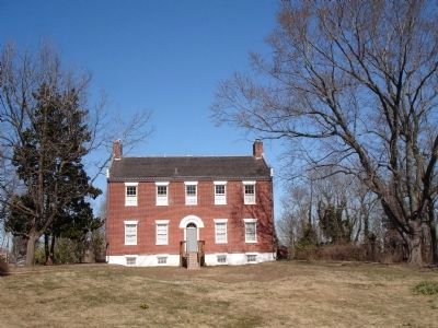
Liberia Plantation
— Plantation & Civil War Headquarters —
A Civil War Trails sign on the corner of Portner and Breeden Avenues tells of the Battle of Bull Run Bridge and Liberia. After the war, the plantation was a successful dairy farm, and was donated to the City of Manassas in 1986 by I.J. and Hilda Breeden.
Topics and series. This historical marker is listed in these topic lists: Notable Buildings • War, US Civil. In addition, it is included in the Former U.S. Presidents: #16 Abraham Lincoln series list. A significant historical year for this entry is 1825.
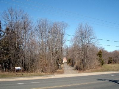
Location. 38° 45.887′ N, 77° 27.573′ W. Marker is in Manassas, Virginia. Marker is on Mathis Avenue, on the right when traveling south. Touch for map. Marker is at or near this postal address: 8785 Mathis Ave, Manassas VA 20110, United States of America. Touch for directions.
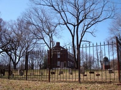
Other nearby markers. At least 8 other markers are within walking distance of this marker. Liberia and the Weirs (about 700 feet away, measured in a direct line); Liberia (about 700 feet away); Enslaved of Liberia (approx. 0.2 miles away); a different marker also named Liberia (approx. 0.2 miles away); Turberville Memorial Garden (approx. 0.2 miles away); Weir Family Cemetery (approx. 0.2 miles away); Mayfield Fort (approx. ¾ mile away); Conner House (approx. 0.8 miles away). Touch for a list and map of all markers in Manassas.
More about this marker. The lower left of the marker features a map of the city of Manassas with blue stars marking the locations of 9 Manassas Historic Signs.
Liberia Plantation is owned by the City of Manassas. They have asked HMdb.org to note that the grounds are not open to the public and trespassing is strictly prohibited.
Credits. This page was last revised on June 8, 2021. It was originally submitted on March 7, 2010. This page has been viewed 1,826 times since then and 39 times this year. Last updated on June 7, 2021. Photos: 1, 2, 3, 4, 5. submitted on March 7, 2010. • J. Makali Bruton was the editor who published this page.
