North Fork in Orient in Suffolk County, New York — The American Northeast (Mid-Atlantic)
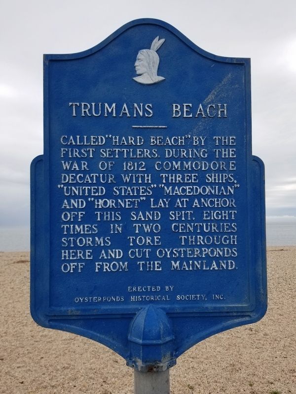
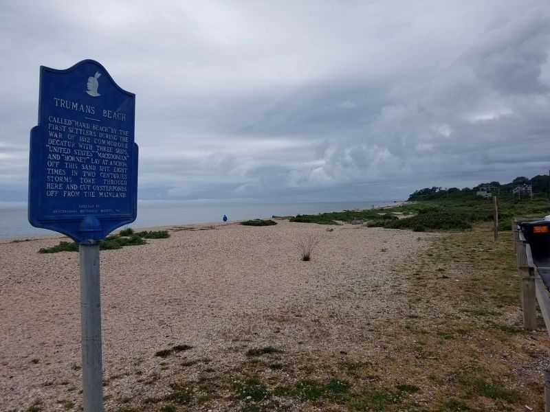
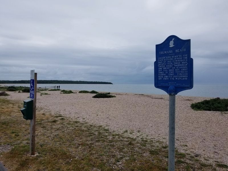
Trumans Beach
Erected by Oysterponds Historical Society, Inc.
Topics. This historical marker is listed in these topic lists: Colonial Era • Disasters • War of 1812 • Waterways & Vessels. A significant historical year for this entry is 1812.
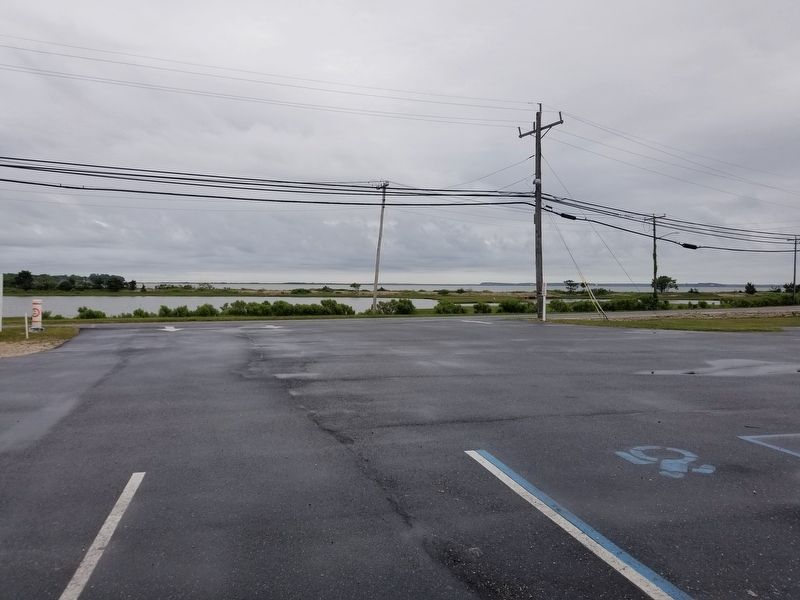
Location. 41° 8.484′ N, 72° 19.094′ W. Marker is in Orient, New York, in Suffolk County. It is in North Fork. Marker is on New York State Route 25, 0.1 miles west of Old Main Road, on the left when traveling east. Note that this marker is located at the Trumans Beach parking lot, and use of that lot is restricted to area residents. Touch for map. Marker is in this post office area: Orient NY 11957, United States of America. Touch for directions.
Other nearby markers. At least 8 other markers are within 3 miles of this marker, measured as the crow flies. Webb House (approx. 0.8 miles away); Poquatuck Park (approx. 0.8 miles away); Orient WWI Memorial (approx. 0.8 miles away); The Methodist Church (approx. 0.8 miles away); Orient WWII Memorial (approx. 0.8 miles away); Orient Point Schoolhouse (approx. 0.8 miles away); Slaves Burying Ground (approx. 1.4 miles away); Peaken's Tavern (approx. 2.3 miles away). Touch for a list and map of all markers in Orient.
Credits. This page was last revised on June 1, 2023. It was originally submitted on June 15, 2021, by Alexander Erwin of East Patchogue, New York. This page has been viewed 175 times since then and 13 times this year. Photos: 1, 2, 3, 4. submitted on June 15, 2021, by Alexander Erwin of East Patchogue, New York. • Bill Pfingsten was the editor who published this page.


