Near Fairmont in Marion County, West Virginia — The American South (Appalachia)
Boothsville
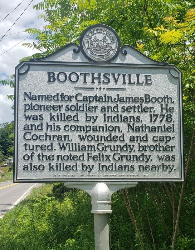
Photographed by Bradley Owen, June 15, 2021
1. Boothsville Marker
Erected 1974 by West Virginia Department Of Archives and History.
Topics and series. This historical marker is listed in these topic lists: Indigenous Peoples and Communities • Settlements & Settlers • Wars, US Indian. In addition, it is included in the West Virginia Archives and History series list. A significant historical year for this entry is 1778.
Location. 39° 23.615′ N, 80° 11.751′ W. Marker is near Fairmont, West Virginia, in Marion County. It is on Middletown Road (County Road 73/73) just north of Boothsville Road (County Road 73/12), on the right when traveling north. Touch for map. Marker is at or near this postal address: 1381 Middletown Rd, Fairmont WV 26554, United States of America. Touch for directions.

Regionally, this marker is in North Central West Virginia. It is also in the American South, specifically in the Upper South, in Appalachia, and specifically
this page online
Other nearby markers. At least 8 other markers are within 5 miles of this marker, measured as the crow flies: Marion County / Taylor County (about 400 feet away, measured in a direct line); NASA (approx. 2.6 miles away); Captain James Booth (approx. 2.9 miles away); In Memory of Jacob Bigler and Elisha Griffith (approx. 4½ miles away); Original Saint Anthony Church Bell (approx. 4½ miles away); Revolutionary Graves (approx. 4½ miles away); Saltwell (approx. 4½ miles away); Veterans Memorial (approx. 4½ miles away). Touch for a list and map of all markers in Fairmont.
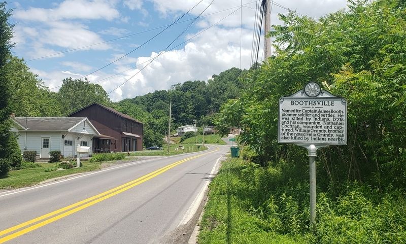
Photographed by Bradley Owen, June 15, 2021
2. Boothsville Marker
View is looking north.

Photographed by Bradley Owen, June 15, 2021
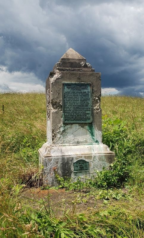
3. Grave Site Of Captain James Booth
Located in a field off Industrial Park Road north of Vankirk Drive in Fairmont, WV.
Photographed by Bradley Owen, June 15, 2021
4. Grave Site Of Captain James Booth
Credits. This page was last revised on June 24, 2021. It was originally submitted on June 15, 2021, by Bradley Owen of Morgantown, West Virginia. This page has been viewed 953 times since then and 58 times this year. Photos: 1, 2, 3. submitted on June 15, 2021, by Bradley Owen of Morgantown, West Virginia. 4. submitted on June 23, 2021, by Bradley Owen of Morgantown, West Virginia. • Devry Becker Jones was the editor who published this page.
