Near Leonard in Cass County, North Dakota — The American Midwest (Upper Plains)
The Maple Creek Crossing Historic Site
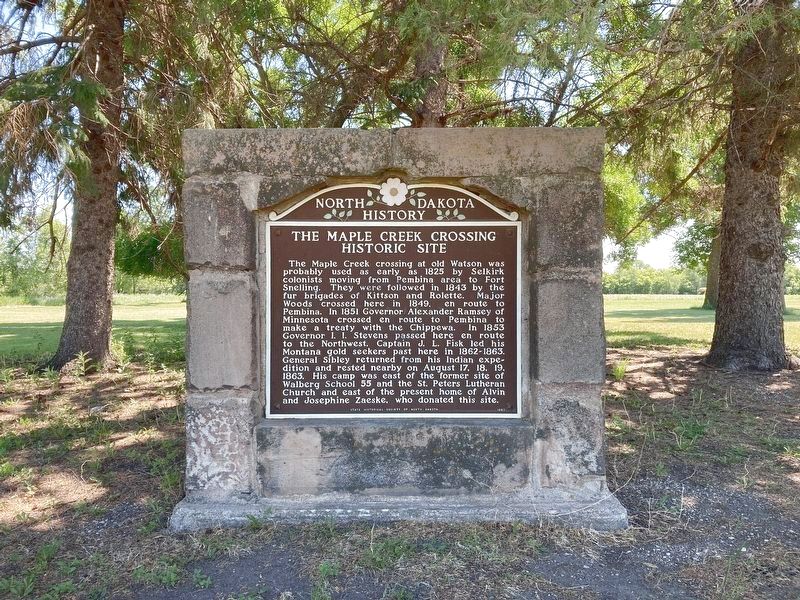
Photographed by Connor Olson, June 14, 2021
1. The Maple Creek Crossing Historic Site Marker
Erected 1957 by State Historical Society of North Dakota.
Topics. This historical marker is listed in these topic lists: Wars, US Indian • Waterways & Vessels. A significant historical date for this entry is August 17, 1863.
Location. 46° 43.696′ N, 97° 19.492′ W. Marker is near Leonard, North Dakota, in Cass County. It is on 150th Avenue Southeast near
this page online

Regionally, this marker is in the Red River Valley and in Greater Fargo Area. It is also in the American Lewis & Clark Corridor, on the prairies, and on the Northern Plains. Globally, it is in North America, the Western Hemisphere, the Western World, and the Anglosphere. Historically, it finds itself in what was once Rupert’s Land and also the Louisiana Purchase.
Also see . . . Maple Creek Crossing State Historic Site. (Submitted on June 19, 2021, by Connor Olson of Menomonee Falls, Wisconsin.)
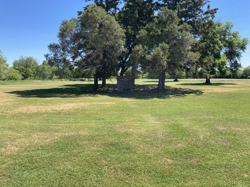
Photographed by Connor Olson, June 14, 2021
2. The Maple Creek Crossing Historic Site Marker
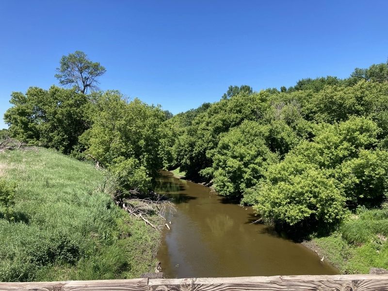
Photographed by Connor Olson, June 14, 2021
3. Maple River
Credits. This page was last revised on June 6, 2024. It was originally submitted on June 19, 2021, by Connor Olson of Menomonee Falls, Wisconsin. This page has been viewed 903 times since then and 34 times this year. Photos: 1, 2, 3. submitted on June 19, 2021, by Connor Olson of Menomonee Falls, Wisconsin. • Mark Hilton was the editor who published this page.
