Morgantown in Monongalia County, West Virginia — The American South (Appalachia)
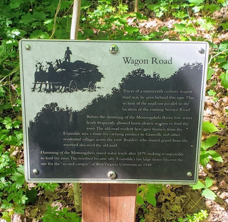
Wagon Road
Photographed by Bradley Owen, June 16, 2021
1. Wagon Road Marker
Traces of a nineteenth century wagon road may be seen behind this sign. This section of the road ran parallel to the location of the existing Service Road.
Before the damming of the Monongahela River, low water levels frequently allowed horse-drawn wagons to ford the river. The old road evident here gave farmers from the Evansdale area a route for carrying produce to Granville and other residential villages across the river. Builders who mined gravel from the riverbed also used the old road.
Damming of the Monongahela raised water levels after 1879, making it impossible to ford the river. The riverbed became silty. Evansdale's last large farms became the site for the "second campus” of West Virginia University in 1948.
Erected 1994 by West Virginia University Biology Department.
Topics. This historical marker is listed in these topic lists: Roads & Vehicles • Settlements & Settlers • Waterways & Vessels. A significant historical year for this entry is 1879.
Location. 39° 38.675′ N, 79° 58.67′ W. Marker is in Morgantown, West Virginia, in Monongalia County. It can be reached from Monongahela Boulevard
this page online

Regionally, this marker is in North Central West Virginia. It is also in the American South, specifically in the Upper South, in Appalachia, and specifically in Northern Appalachia. Globally, it is in North America, the Western Hemisphere, the Western World, and the Anglosphere. Historically, it finds itself in what was once the territory of the Mississippian Culture.
Other nearby markers. At least 8 other markers are within walking distance of this marker: Sugar Maple (within shouting distance of this marker); Dawn Redwood (about 700 feet away, measured in a direct line); Liberty Island Tree (about 700 feet away); Guthrie Loop Area (approx. 0.2 miles away); Core Arboretum (approx. 0.2 miles away); a different marker also named Core Arboretum
Photographed by Bradley Owen, June 16, 2021
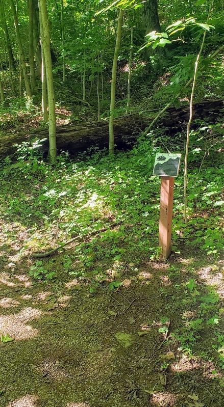
2. Wagon Road Marker
Traces of a nineteenth century wagon road cutting through the woods can be seen behind the marker.
Credits. This page was last revised on June 22, 2021. It was originally submitted on June 19, 2021, by Bradley Owen of Morgantown, West Virginia. This page has been viewed 234 times since then and 27 times this year. Photos: 1, 2. submitted on June 19, 2021, by Bradley Owen of Morgantown, West Virginia. • Devry Becker Jones was the editor who published this page.
