North Fork in Riverhead in Suffolk County, New York — The American Northeast (Mid-Atlantic)
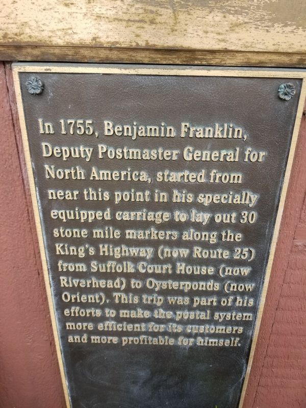
Benjamin Franklin Mile Markers
Topics. This historical marker is listed in these topic lists: Colonial Era • Communications. A significant historical year for this entry is 1755.
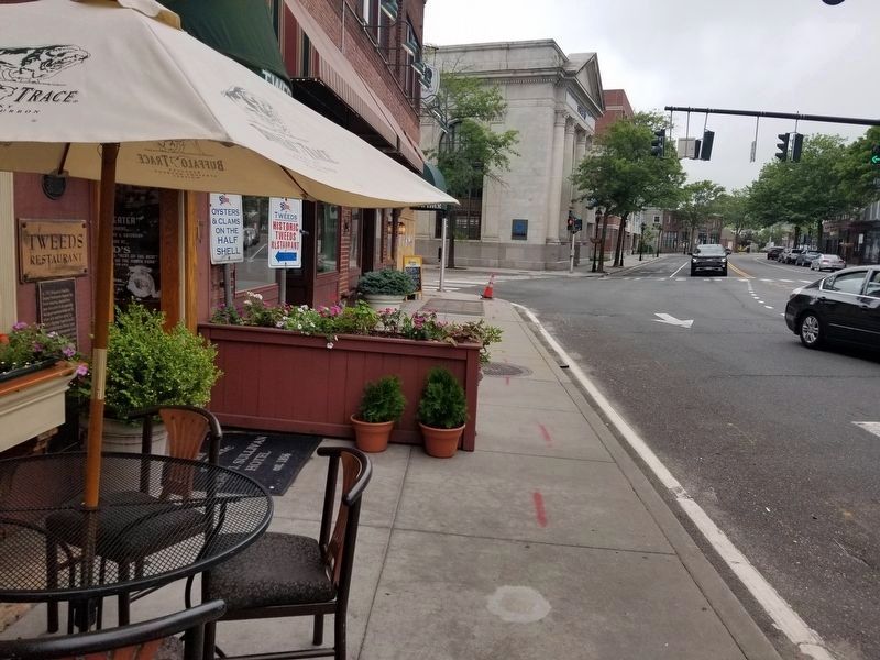
Location. 40° 55.013′ N, 72° 39.731′ W. Marker is in Riverhead, New York, in Suffolk County. It is in North Fork. Marker is on East Main Street, on the right when traveling east. Touch for map. Marker is at or near this postal address: 17 E Main St, Riverhead NY 11901, United States of America. Touch for directions.
Other nearby markers. At least 8 other markers are within 6 miles of this marker, measured as the crow flies. Early Duck Farm (approx. 1.1 miles away); Big Duck Ranch (approx. 2.2 miles away); Battles of Penny’s and Luce’s Landing (approx. 4.3 miles away); Old Orchard (approx. 5.9 miles away); Pigthle (approx. 5.9 miles away); Hallock Homestead (approx. 5.9 miles away); Horse Block (approx. 5.9 miles away); a different marker also named Hallock Homestead (approx. 5.9 miles away). Touch for a list and map of all markers in Riverhead.
Credits. This page was last revised on February 10, 2023. It was originally submitted on June 21, 2021, by Alexander Erwin of East Patchogue, New York. This page has been viewed 860 times since then and 237 times this year. Photos: 1, 2. submitted on June 21, 2021, by Alexander Erwin of East Patchogue, New York. • Bill Pfingsten was the editor who published this page.

