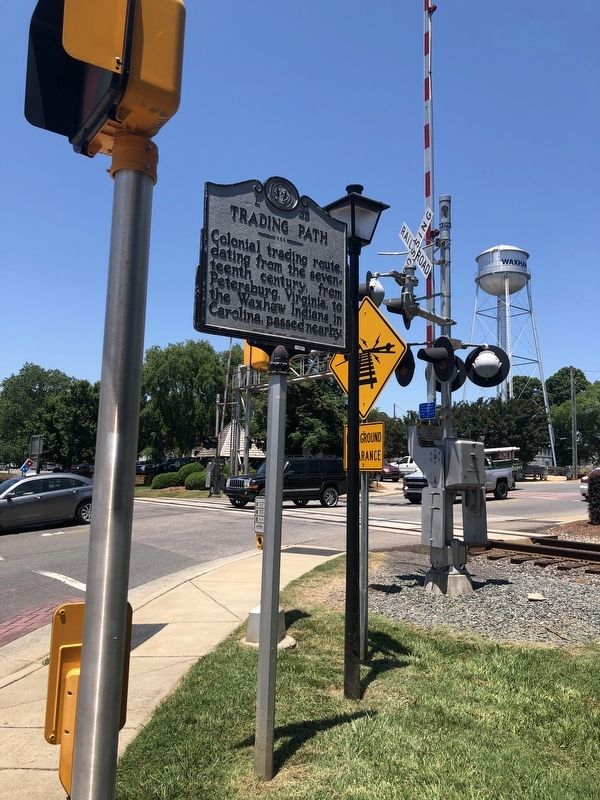
Waxhaw in Union County, North Carolina — The American South (South Atlantic)
Trading Path
Erected 1957 by Archives and Highway Departments. (Marker Number L-35.)
Topics and series. This historical marker is listed in these topic lists: Colonial Era • Industry & Commerce • Native Americans • Roads & Vehicles. In addition, it is included in the North Carolina Division of Archives and History series list.
Location. 34° 55.492′ N, 80° 44.608′ W. Marker is in Waxhaw, North Carolina, in Union County. Marker is at the intersection of East South Main Street (State Highway 75) and North Broome Street (State Highway 16), on the right when traveling west on East South Main Street. Touch for map. Marker is at or near this postal address: 106 E South Main St, Waxhaw NC 28173, United States of America. Touch for directions.
Other nearby markers. At least 8 other markers are within walking distance of this marker. 100 East South Main Street (within shouting distance of this marker); 106 East South Main Street (within shouting distance of this marker); Waxhaw Military Wall of Honor (within shouting distance of this marker); 108 East South Main Street (within shouting distance of this marker); 112 East South Main Street (within shouting distance of this marker); 101 West South Main Street (within shouting distance of this marker); 107 West South Main Street (within shouting distance of this marker); Belk Store (within shouting distance of this marker). Touch for a list and map of all markers in Waxhaw.
Credits. This page was last revised on June 22, 2021. It was originally submitted on June 22, 2021, by Devry Becker Jones of Washington, District of Columbia. This page has been viewed 175 times since then and 11 times this year. Photos: 1, 2. submitted on June 22, 2021, by Devry Becker Jones of Washington, District of Columbia.

