Jekyll Island in Glynn County, Georgia — The American South (South Atlantic)
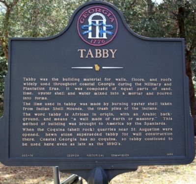
Tabby
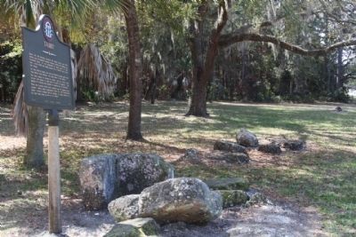
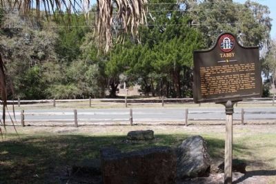
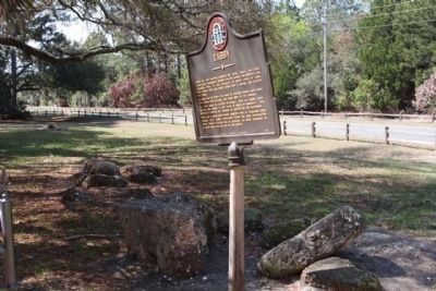
Tabby was the building material for walls, floors, and roofs widely used throughout coastal Georgia during the Military and Plantation Eras. It was composed of equal parts of sand, lime, oyster shell and water mixed into a mortar and poured into forms.
The lime used in tabby was made by burning oyster shell taken from Indian Shell Mounds, the trash piles of the Indians. The word tabby is African in origin, with an Arabic background, and means "a wall made of earth or masonry." This method of building was brought to America by the Spaniards. When the Coquina (shell rock) quarries near St. Augustine were opened, hewn stone superseded tabby for wall construction there. Coastal Georgia has no coquina, so tabby continued to be used even as late as the 1890s.
Erected 1956 by Georgia Historical Commission. (Marker Number 063-16.)
Topics and series. This historical marker is listed in these topic lists: Anthropology & Archaeology • Architecture • Colonial Era • Natural Resources. In addition, it is included in the Georgia Historical Society series list.
Location. 31° 6.105′ N, 81° 24.879′ W. Marker is on Jekyll Island, Georgia, in Glynn County. Marker is on Riverview Drive near Major Horton Drive, on the right when traveling north. Touch for map. Marker is in this post office area: Jekyll Island GA 31527, United States of America. Touch for directions.
Other nearby markers. At least 8 other markers are within walking distance of this marker. Major William Horton (here, next to this marker); Horton House Historic Site (a few steps from this marker); Poulain du Bignon and du Bignon Burying Ground (within shouting distance of this marker); a different marker also named Horton House Historic Site (within shouting distance of this marker); Horton House (within shouting distance of this marker); a different marker also named Horton House Historic Site (within shouting distance of this marker); Horton House Harvest (within shouting distance of this marker); Le Sieur Christophe Anne Poulain du Bignon (within shouting distance of this marker). Touch for a list and map of all markers in Jekyll Island.
Credits. This page was last revised on November 20, 2020. It was originally submitted on April 3, 2009, by Mike Stroud of Bluffton, South Carolina. This page has been viewed 2,911 times since then and 26 times this year. Photos: 1, 2, 3, 4. submitted on April 3, 2009, by Mike Stroud of Bluffton, South Carolina. • Craig Swain was the editor who published this page.


