Fort Collins in Larimer County, Colorado — The American Mountains (Southwest)
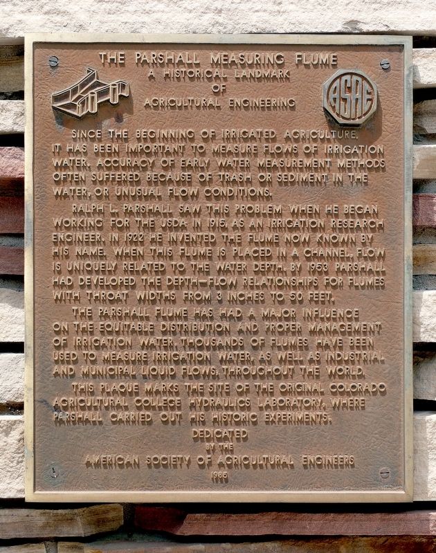
The Parshall Measuring Flume
Historical Landmark of Agricultural Engineering
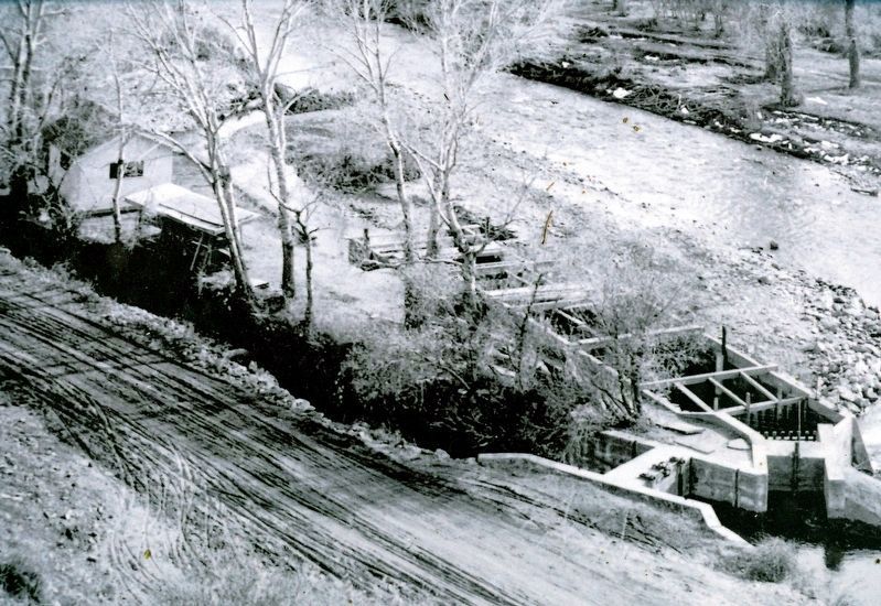
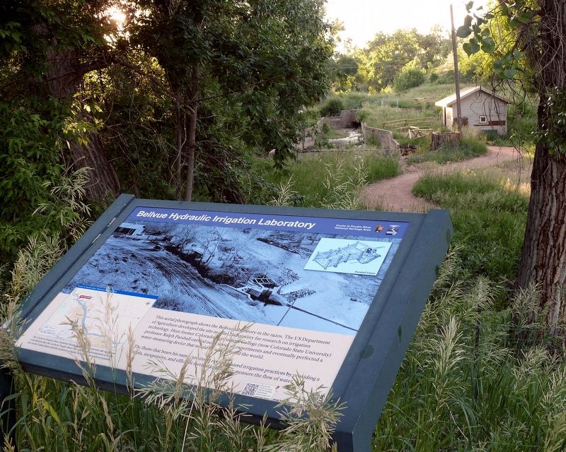
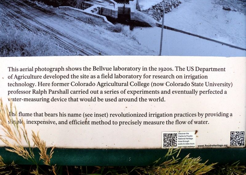
Ralph L. Parshall saw this problem when he began working for the USDA in 1915, as an irrigation research engineer. In 1922 he invented the flume now known by his name. When this flume is placed in a channel, flow is uniquely related to water depth. By 1953 Parshall had developed the depth-flow relationships for flumes with throat widths from 3 inches to 50 feet.
The Parshall flume has had a major influence on the equitable distribution and proper management of irrigation water. Thousands of flumes have been used to measure irrigation water, as well as industrial and municipal liquid flows throughout the world. This plaque marks the site of the original Colorado Agricultural College Hydraulics Laboratory, where Parshall carried out his historic experiments.
Erected 1965 by American Society of Agricultural Engineers.
Topics and series. This historical marker is listed in these topic lists: Agriculture • Waterways & Vessels. In addition, it is included in the ASAE Historic Landmarks of Agricultural Engineering series list. A significant historical year for this entry is 1922.
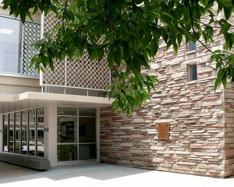
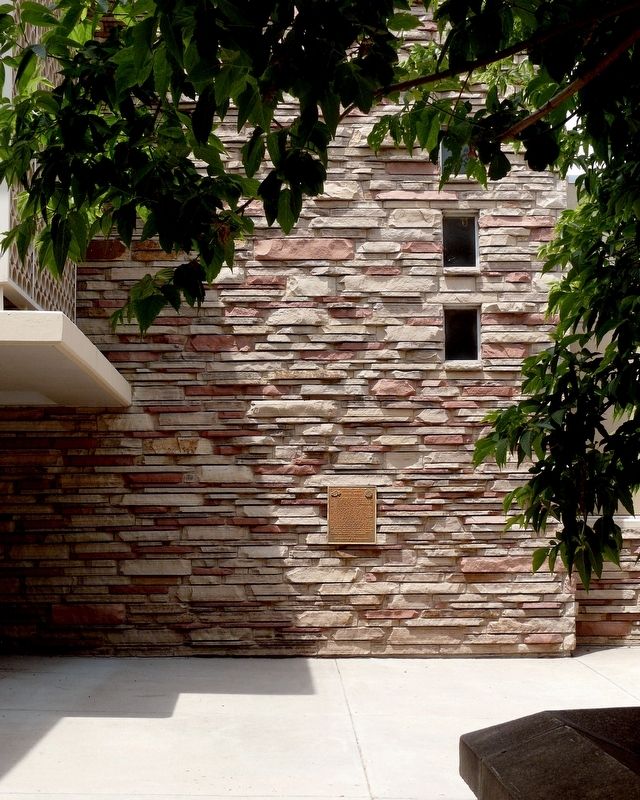
Location. 40° 34.532′ N, 105° 5.056′ W. Marker is in Fort Collins, Colorado, in Larimer County. Marker can be reached from 1101 Central Avenue Mall. Located on an exterior, east-facing wall on the north end of the Lory Student Center, on the campus of Colorado State University. Touch for map. Marker is in this post office area: Fort Collins CO 80523, United States of America. Touch for directions.
Other nearby markers. At least 8 other markers are within walking distance of this marker. Elwood Mead (about 500 feet away, measured in a direct line); The Historic Fort Collins Weather Station (about 600 feet away); Donated Land for the Agricultural College (approx. 0.3 miles away); The William C. Stover House (approx. 0.6 miles away); Antoine Janis Cabin (approx. 0.8 miles away); Auntie Stone Cabin (approx. 0.8 miles away); Carnegie Library (approx. 0.8 miles away); Blunck House (approx. 0.9 miles away). Touch for a list and map of all markers in Fort Collins.
Credits. This page was last revised on April 8, 2022. It was originally submitted on June 23, 2021, by Michael O'Neill of Livermore, Colorado. This page has been viewed 147 times since then and 16 times this year. Photos: 1, 2, 3, 4, 5, 6. submitted on June 23, 2021, by Michael O'Neill of Livermore, Colorado. • Syd Whittle was the editor who published this page.
